Raised Relief Maps - 3D Maps - National Park Maps

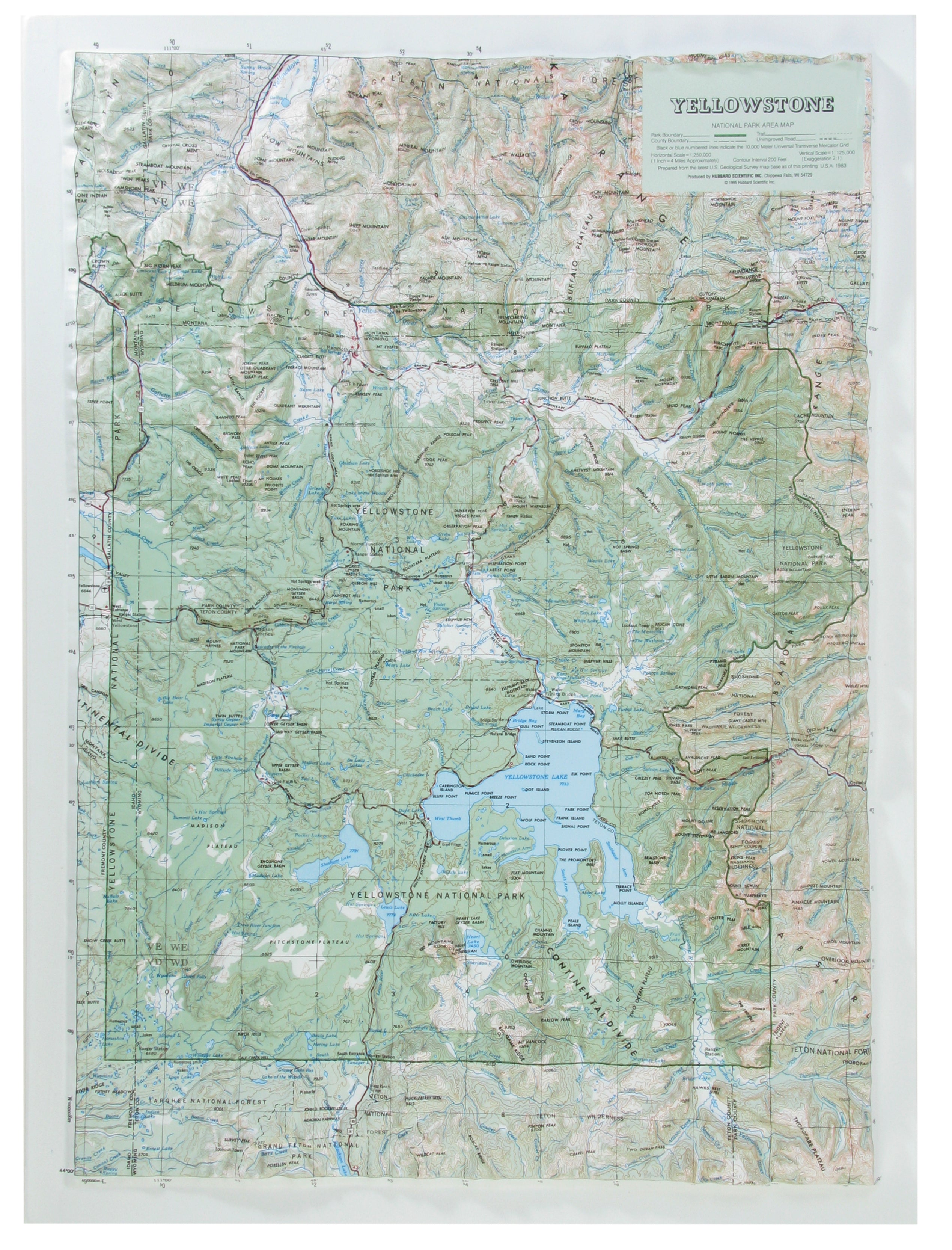
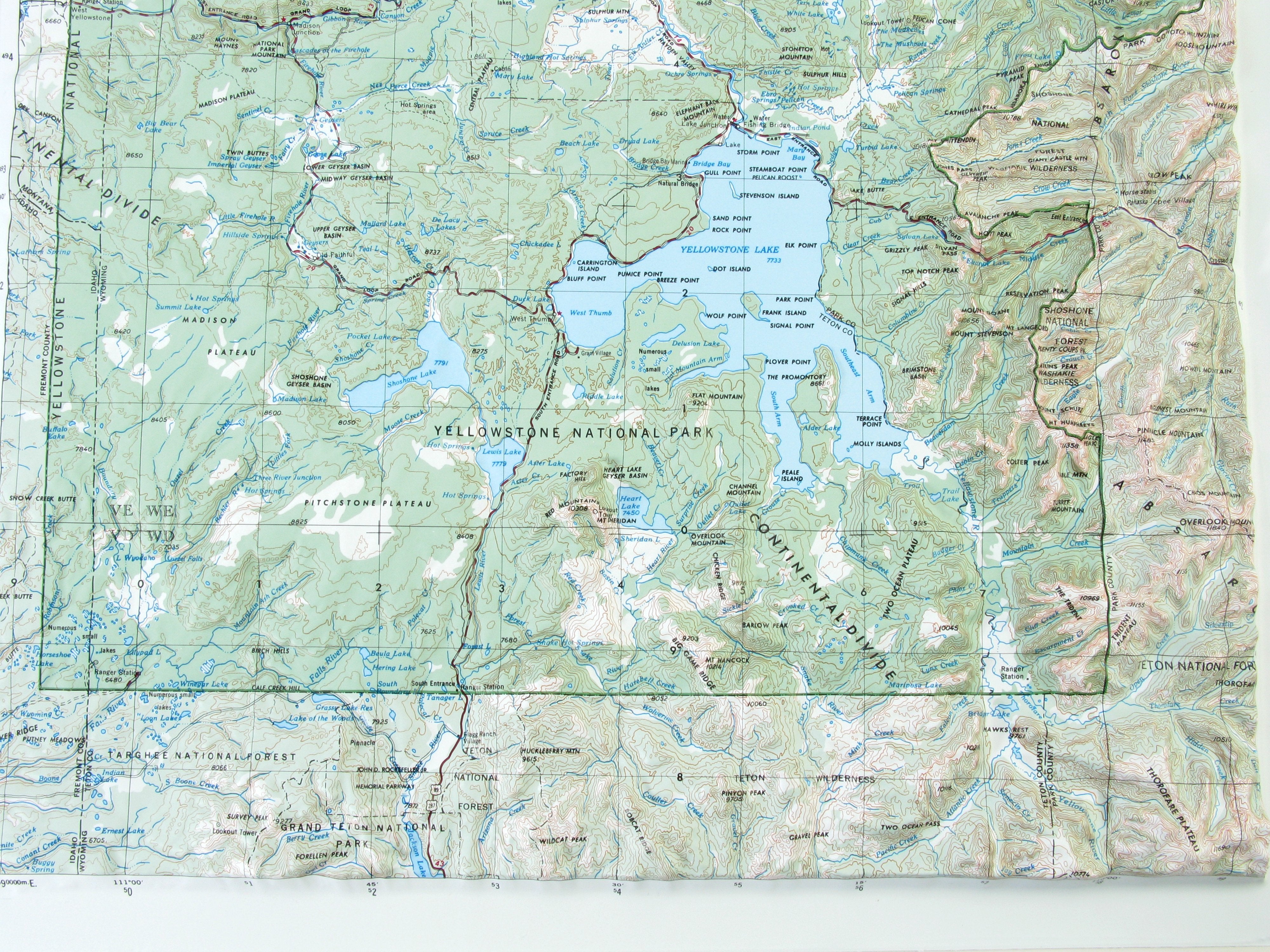
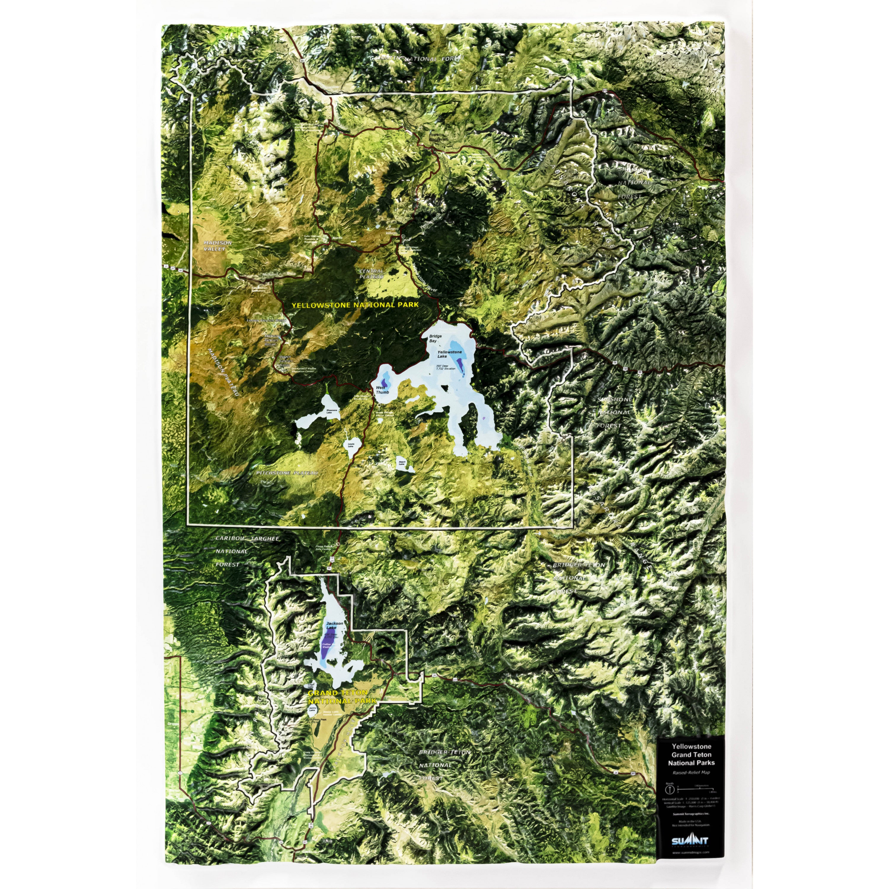
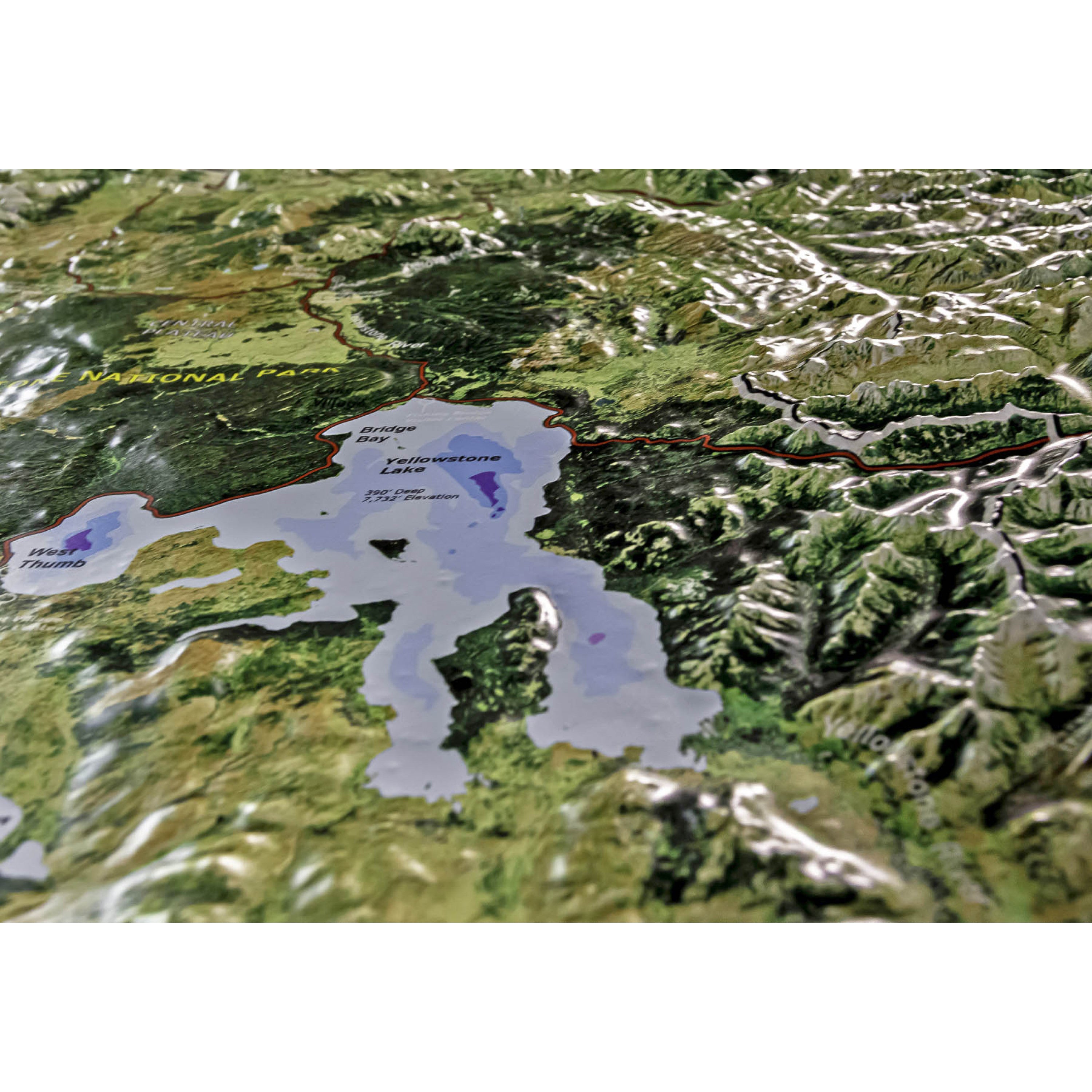
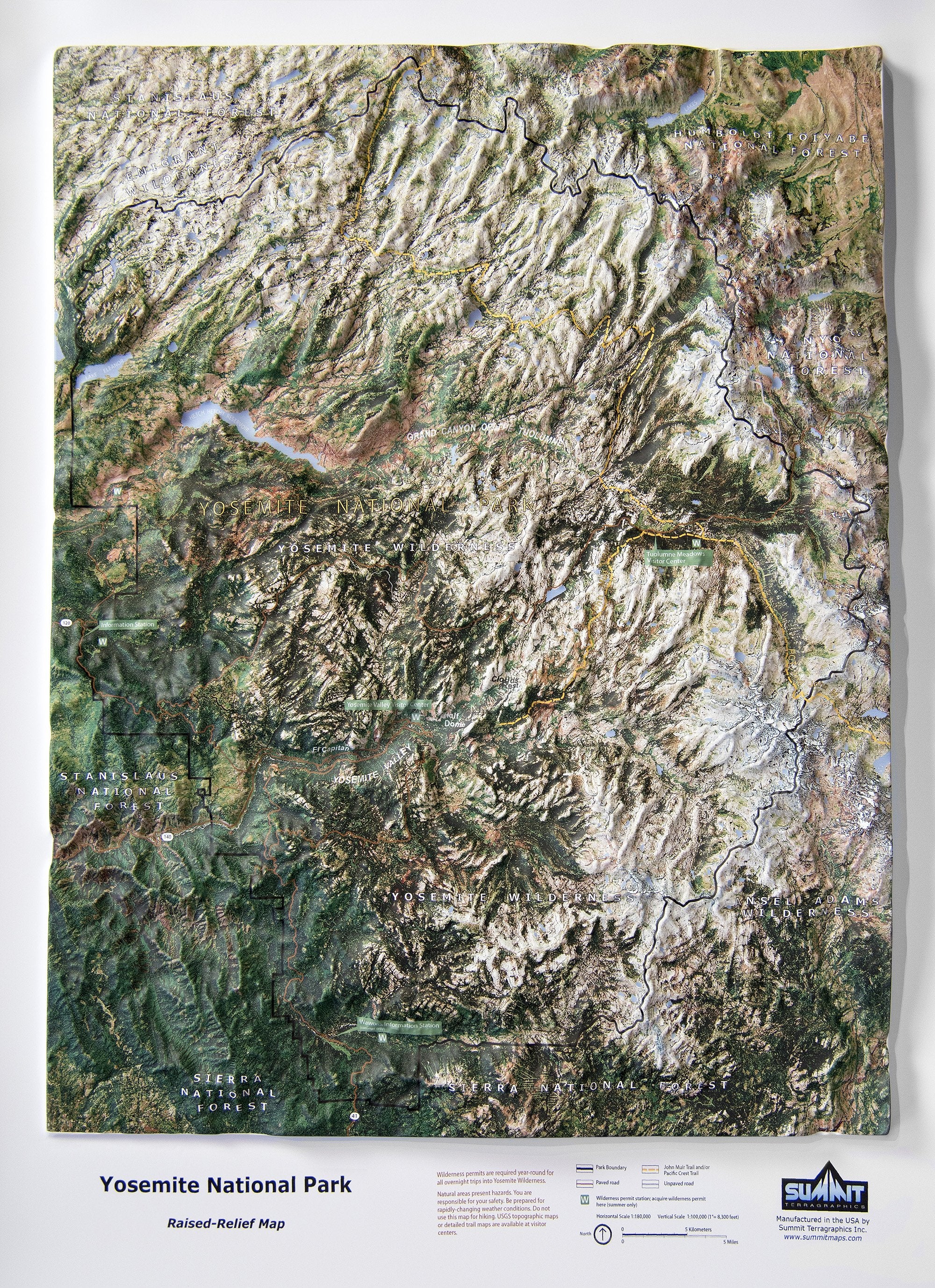
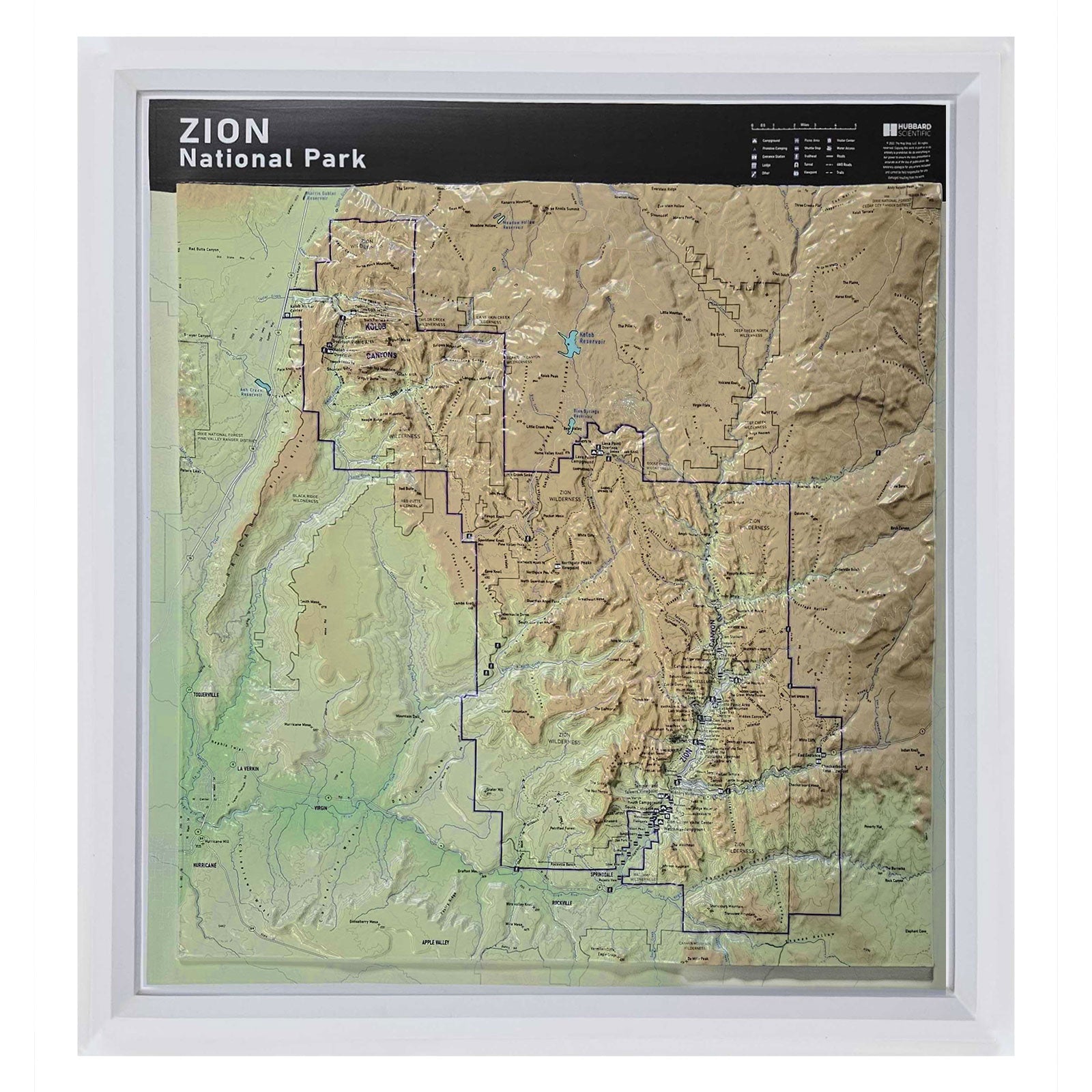
Raised relief maps are a beautiful 3D representation of the world around us.  Starting with a flat map printed on vinyl. The map is then vacuum formed over a mold for an unique tactile 3D reference.  These educational and visually stunning maps are perfect for home, school or office.
26 products
Sort by:
Alphabetically, A-Z
Sort by:
Alphabetically, A-Z
Availability
Raised Relief Category
With Coverage In
Price
$ 0
$ 368.95
Yosemite National Park Satellite Image Three Dimensional 3D Raised Relief Map
Quick View

Yosemite National Park Satellite Image Three Dimensional 3D Raised Relief Map

Price
$ 40.95$ 106.95
Yosemite National Park Trail Map Three Dimensional 3D Raised Relief Map
Quick View

Yosemite National Park Trail Map Three Dimensional 3D Raised Relief Map

Price
$ 40.95$ 106.95