Menu


Made to order. Usually ships in 2-3 weeks.
Size: 73" x 48"
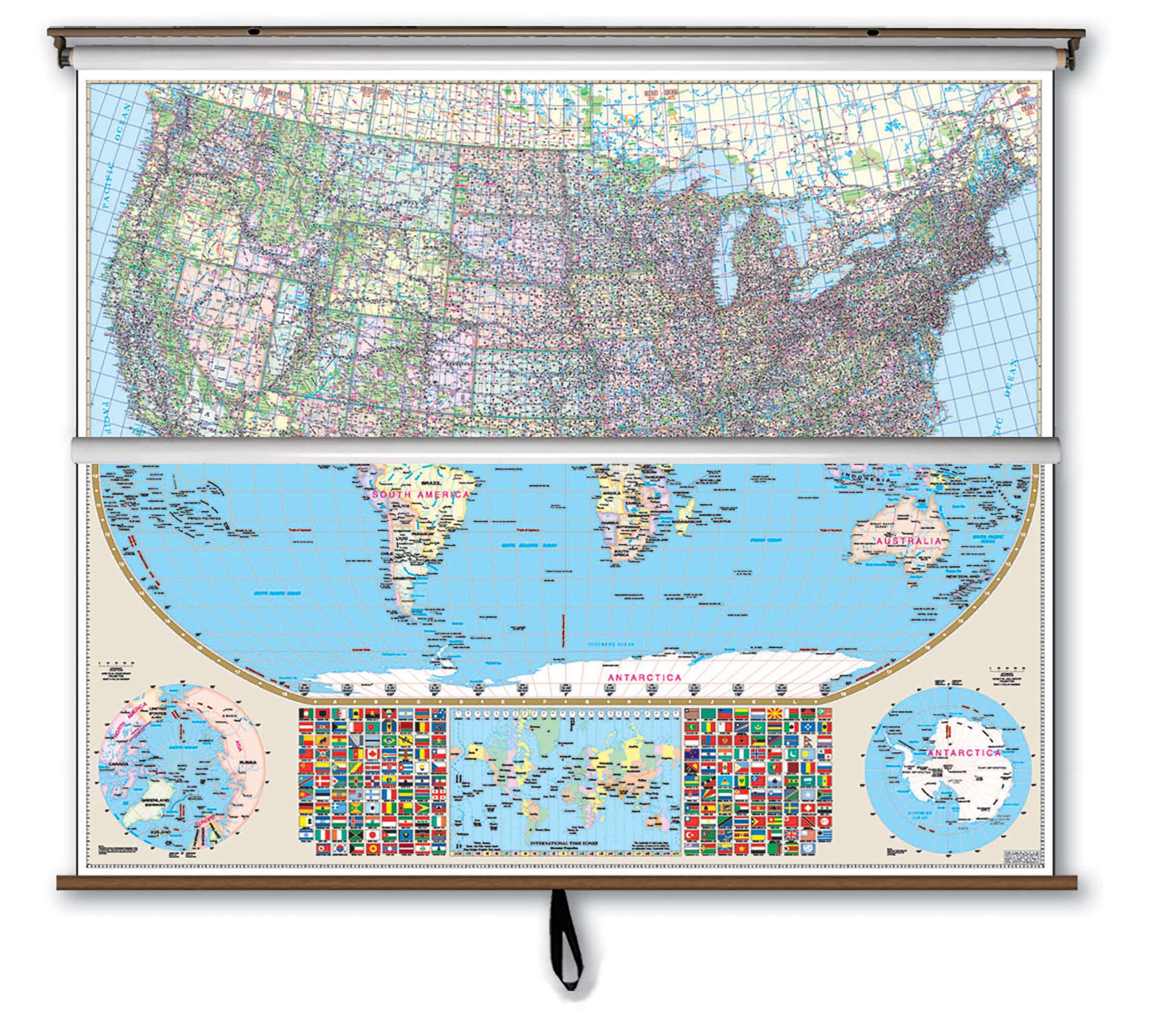
Kappa Map Group presents a combo product with our US wall map and world maps.
Bright, contrasting colors clearly identify political divisions on this Wall Map of the United States by Kappa Map Group which measures 77" W x 54" H with a scale of 1" + approximately 40 miles.
The special features and data contained on this large scale wall map of the United States are as follows: Cities and Towns, Freeways, Interchange Exit Numbers, Interstate Highways, Longitude and Latitude lines, Mountain Ranges, National Forests, Rivers and Lakes, State Highways, State Lines Time Zones.
Map insets Include: Alaska, Hawaii, and Puerto Rico. Additional features of this map include color coded states and a Mileage chart between major cities. The map is protected with a laminated finish, which is both markable and washable.
The Robinson Projection Wall Map of the World by Kappa Map Group is laminated, measures 74 by 53 inches, provides color-coded countries, major and capital cities, major water features, national flags, country names, state boundaries, longitude/latitude lines, and international time zones.
The map is protected with a laminated finish, which is both markable and washable.
These maps are printed and finished to order. Please allow 4-6 weeks for delivery.
Thank you for considering GeoMart for your classroom pull down map needs! We look forward to helping you get the perfect combination of maps to help your students learn and explore the World.
