Menu


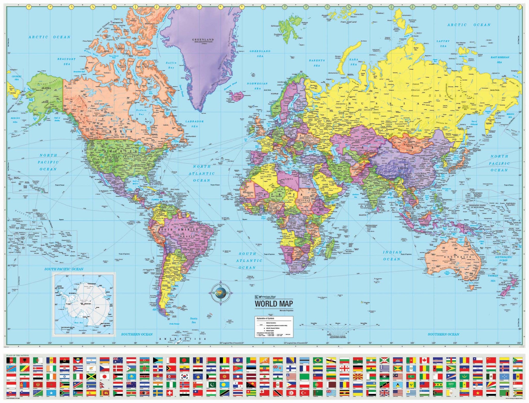
The World Advanced Political Mounted Wall Map features a wealth of valuable information, including continents, individual country boundaries, capitals, major cities and waterways, and the latest international name changes.
Created with legibility in mind, these brightly-colored maps highlight the political world, with detailed cartography, as well as the flags of most nations. Appropriate for grades 6-12, and satisfying state and national curriculum standards, the Advanced Political Classroom Wall Map is a must-have for every classroom.
This map measures 48" x 36" and is laminated. A beautiful addition to any home or office!
Map is available with the following options:
These maps are printed and finished to order. Please allow 4-6 weeks for delivery.
