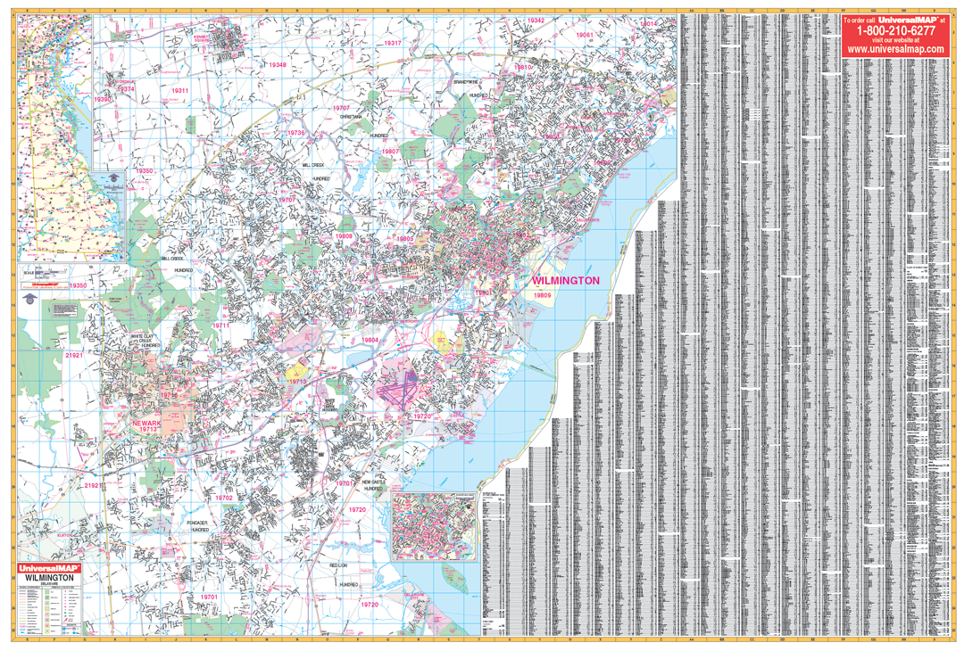
This commercial Wall Map by Kappa Map Group measures 54" W x 76" H (5'6" W x 4'6" H) and shows all of Wilmington, Delaware and adjacent areas in complete street detail with the boundaries as follows: North: To Pennsylvania/Delaware State Line, includes Village of Kennett Square in Pennsylvania. South: To include the city of Delaware City, also Lums Pond State Park. East: To the Delaware River. West: To the Delaware/Maryland State Line . insets for this map include: State Map and Downtown Wilmington.
The special features and data contained on this map are as follows: all streets, all highways, educational facilities, government buildings, shopping centers, hospitals, ZIP codes and boundaries, post offices, fire and police stations, airports, cemeteries, recreational parks, golf and country clubs, points of Interest, city limits and annexations, railroads, mileage circles, water features, range, township and section lines, block numbers, longitude/ latitude lines.
This wall map is lithographed in eight (8) colors. The map is printed on #80 stock material and is protected with a laminate finish, which is both markable and washable. In addition, for your convenience, the map is indexed on face of map.
Framing rails are included on top and bottom for easy wall mounting. Railed wall maps can be turned into pull down maps on spring rollers for an additional $30.
Year: 2011
Edition: 2nd
These maps are printed and finished to order. Please allow 4-6 weeks for delivery.