Menu


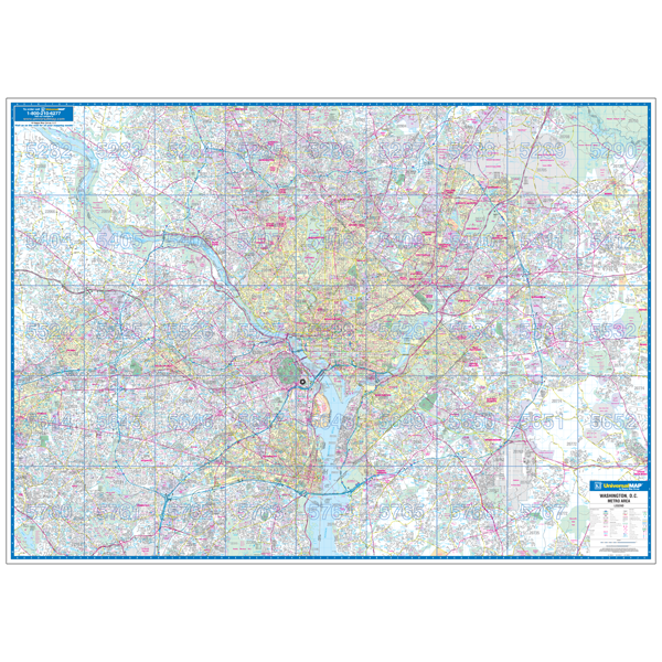
Specifications of this high quality map include: Measures 6' W x 4'2" H (72? x 50?)
Up-to-date cartography at a scale of 1" = 2.66 miles. Printed in color with a markable and washable laminated surface. Hanging options of spring roller; or rails, mounted top and bottom. Cities are indexed on the face of the map, plus index book form.
Areas of Coverage: In Virginia: the counties of Arlington, Fairfax, Loudoun, Prince Williams, King Georges and Stafford with portions of Caroline, Culpepper, Essex, Fauquier, Orange, Richmond, Spotsylvania and Westmoreland. In Maryland: the counties of Anne Arundel, Baltimore, Calvert, Carroll, Charles, with portions of Cecil, Dorchester, Kent, Queen Ann Talbot Counties. Coverage includes North: to Gettysburg Hanover, PA; South: to Fort AP Hill Military Reservation in Caroline county; East: to Chesapeake Bay, including portions of Kent, Queen Ann and Talbot Counties; West: including Martinsburg, WV and city of Warrenton in Fauquier County.
Downtown Washington, DC: Scale of 1" = 900 feet. Compete street detail, Block # Building, List of Major Points of Interest. Coverage includes North: to Washington National Cathedral Howard University; South: Arlington National Cemetery and M Street; East: to 4th Street to include Columbus Circle; West: to Georgetown University.
Details include: Major Streets and All Highways, Airports Parks, Military Institutions, County Lines Names, Water Features Points of Interest.
Year: 2011
Edition:
These maps are printed and finished to order. Please allow 4-6 weeks for delivery.
