Menu


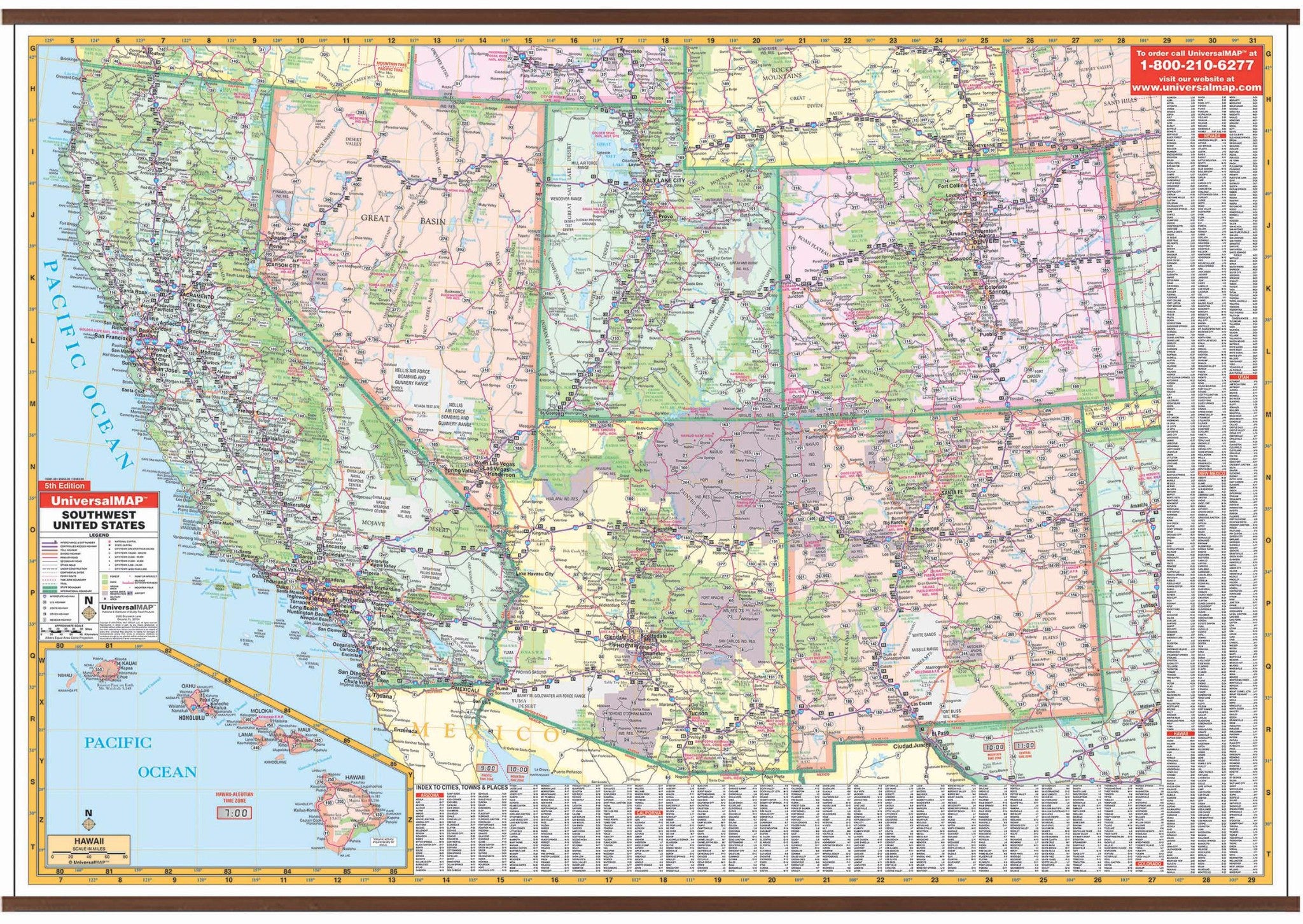
This South West United States Wall Map by Kappa Map Group measures 69" W x 49" H and is indexed on the face of the map. Printed in color on a durable, laminated surface. Lamination allows the map to be marked on and washed off.
Covers all of the following states: Arizona, California, Colorado, Hawaii, Nevada, New Mexico, and Utah with the following boundaries: North: to include southern Oregon to Scotts Bluff, Nebraska; South: from Tijuana, Mexico to Odessa, Texas; East: to include western Nebraska to Odessa, Texas; West: to the Pacific Ocean. Details are as follows: state highways, interstate highways, freeways, rivers and lakes, national forests, mountain ranges, cities and towns, state lines, time zones, and longitude/latitude lines.
Indexed on the face of the map.
Map is available with the following options:
Year: 2009
5th Edition
