Menu


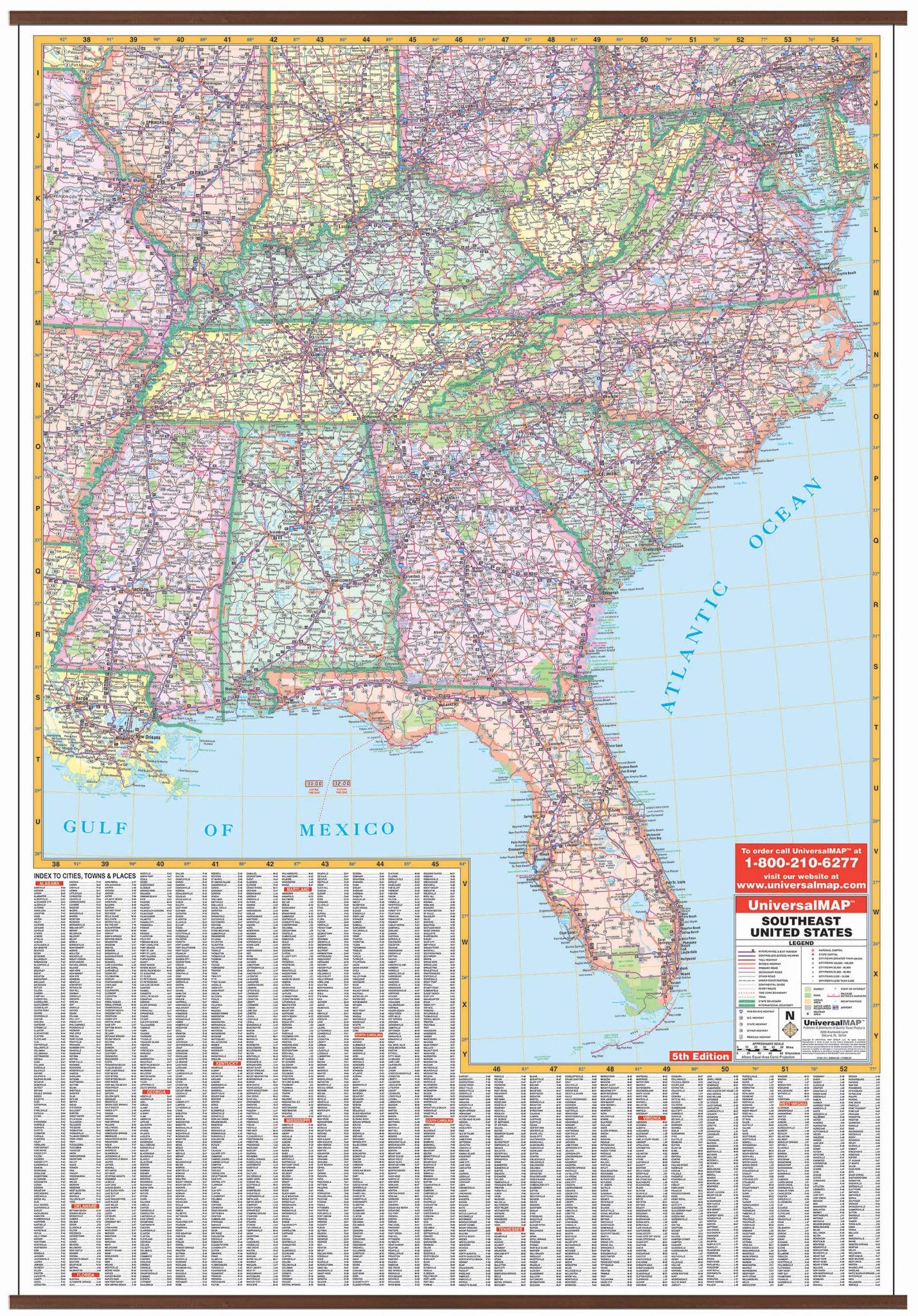
This South East United States Wall Map by Kappa Map Group offers a laminated surface which is both markable and washable with indexing on the face of the map. Measures 47" W x 69" H. Printed in color.
Shows all of the following states: Alabama, Delaware, Florida, Georgia, Kentucky, Maryland, Mississippi, North Carolina, South Carolina, Tennessee, Virginia, and West Virginia. Boundaries are as follows: North: to include Peoria, IL; Pittsburgh and Reading, PA; and Columbus, OH; South: to the Gulf of Mexico; East: to the Atlantic Ocean; West: to Jefferson City, MO; Heber Springs, AR; and Rayville, LA.
Details include all state highways, rivers and lakes, cities and towns, longitude and latitude lines, Interstate highways, national forests, state lines, freeways, mountain ranges, and time zones.
Map is available with the following options:
Year: 2009
5th Edition
