Menu


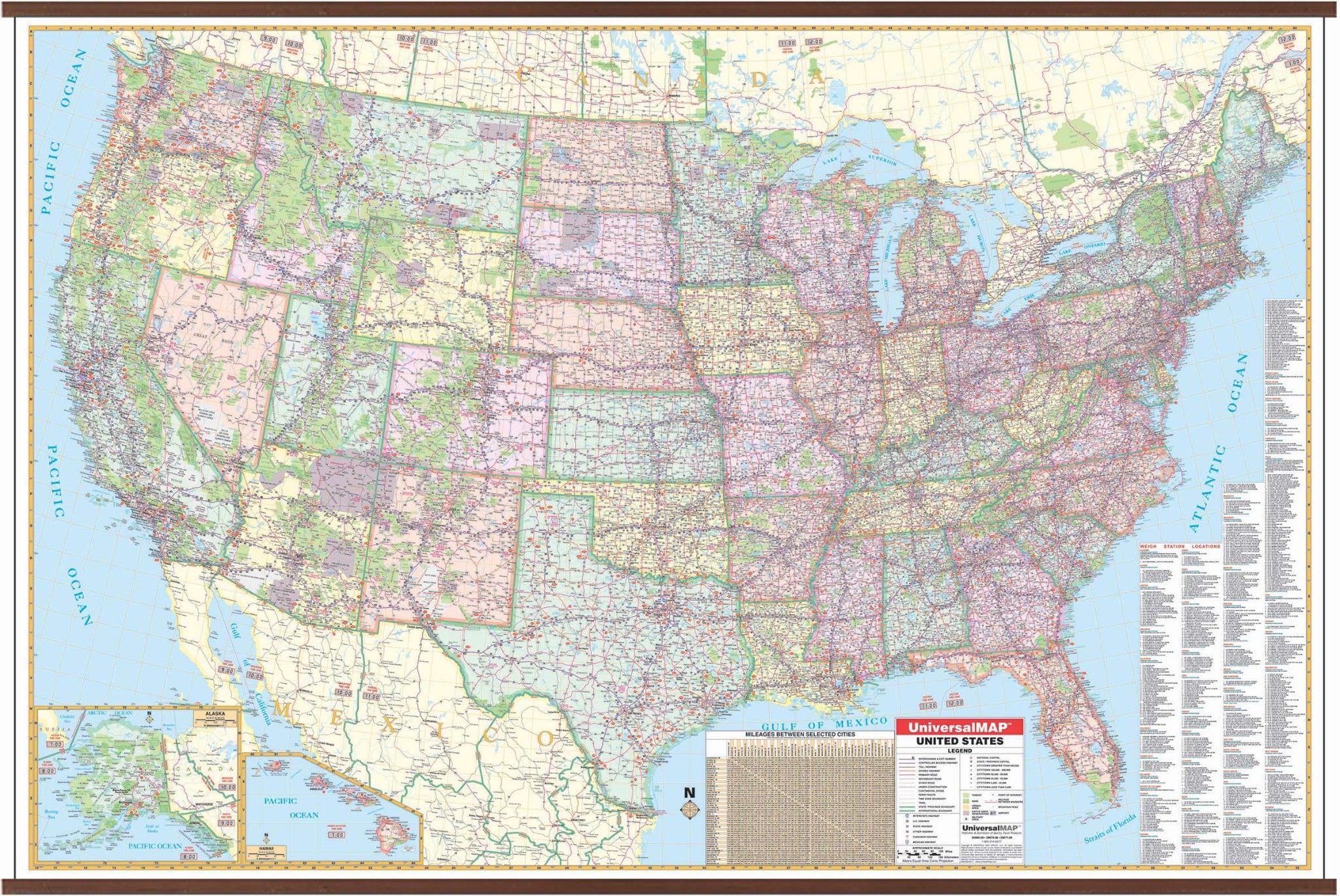
The United States Dispatcher's Wall Map by Kappa Map Group shows Weigh Station locations at a scale of 1" = approximately 40 miles. Surface is laminated, markable, and washable. Indexed in a separate book, and measures 77" x 54."
Special features include color coded states, a mileage chart between major cities, insets of Alaska, Hawaii, and Puerto Rico, and a list of weigh station locations on the face of the map.
Details include state highways, interstate highways, freeways, rivers and lakes, national forests, mountain ranges, cities and towns, state lines, time zones, longitude latitude lines, and interchange exit numbers.
Map is available with the following options:
Year: 2008
3rd Edition
