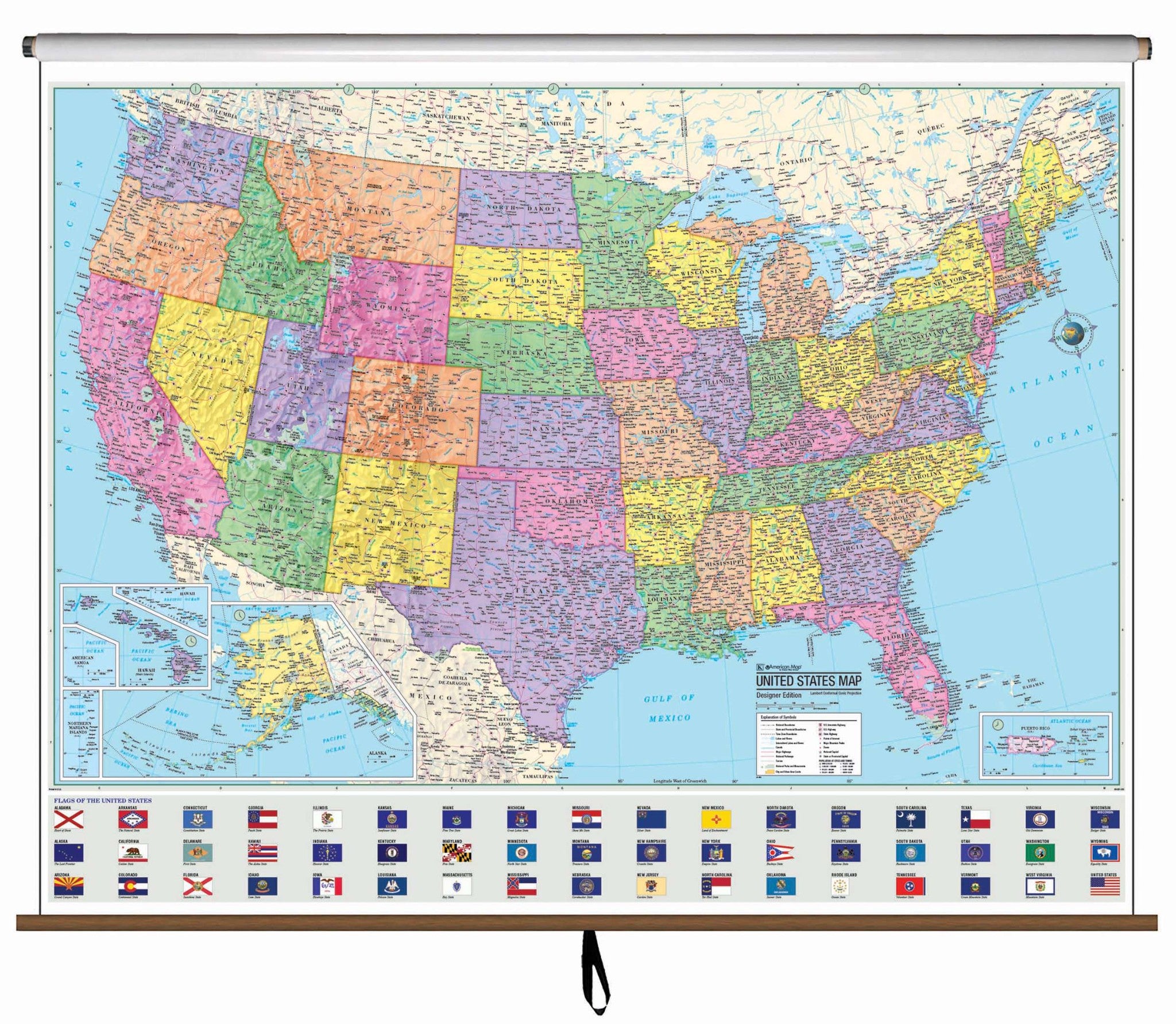
The US Advanced Political Classroom Wall Map features a wealth of valuable information, including country and state boundaries, as well as capitals, major waterways, and major cities. Created with legibility in mind, these brightly colored maps highlight the continent with detailed cartography. Appropriate for grades 6-12, and satisfying state and national curriculum standards.
Wall map measures 64" x 54" Also available in a compact, 13" x 18" deskpad map format.
This product is ideal for public, private, parochial, and home schools.
Map is available with the following options:
-
Laminated: Laminated for protection on both sides. Use wet erase markers to write on wipe off.
-
Railed: Black plastic framing rails are added on the top and bottom of your Laminated map for easy wall mounting.
-
Spring roller: A Spring roller is applied to a Laminated map to turn it into a pull down map.
-
Spring roller/Backboard: Laminated map is attached to spring roller and we provide backboard and all components to mount map on wall.
These maps are printed and finished to order. Please allow 4-6 weeks for delivery.


