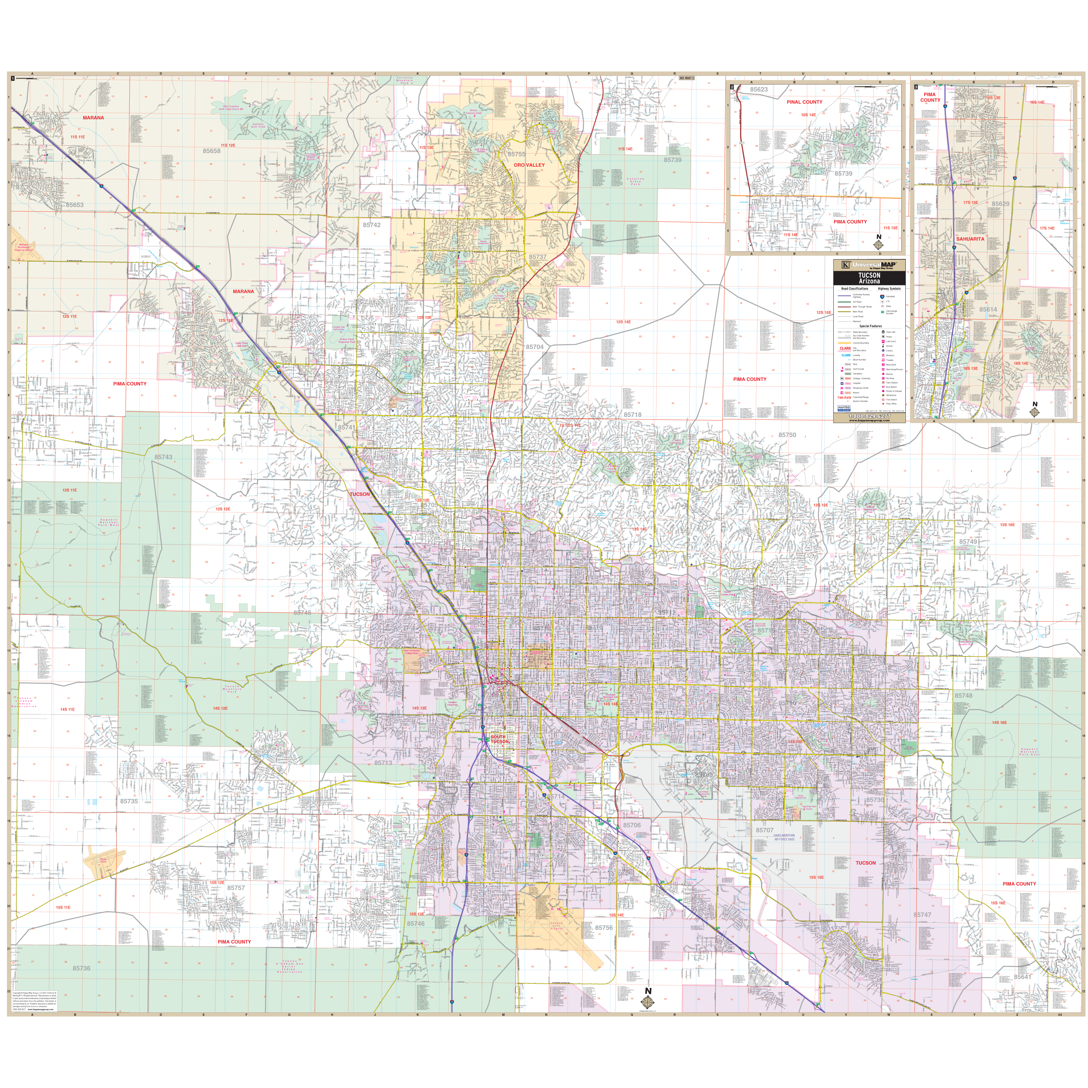
The Tucson, Arizona Metro Wall Map by Kappa Map Group measures 64" x 56." (5'4" W x 4'8" H) Shows all of Tucson, AZ Metropolitan area in complete street detail, up-to-date cartography with new streets and changes. Printed in color with a markable/washable-laminated surface. Indexing in a separate book. Includes hanging rails mounted top and bottom.
Boundaries are as follows:
North: To cover all of Oro Valley
South: South of the Tucson International Airport to the intersection of Interstate 10 and S Rita Rd.
East: To the Saguaro National Park (east) and the intersection of E Old Spanish Trail and S Camino Loma Alta
West: To the Marana Northwest Regional Airport
Map insets include: continuation of Oro Valley to include Catalina to the Pinal County and a detailed inset of Sahuarita.
Special features are as follows: Airports Railways, Block Numbers, Cemeteries, City Limits, Golf and Country Clubs Section, Government Buildings, Hospitals, Libraries, Parks Recreation, Places of Interest, Police Fire Stations, Post Offices, Subdivision Names, Shopping Centers, Schools Colleges, Streets Subdivisions, Township Range Numbers Water Features, ZIP Codes Boundaries.
Railed wall maps can be turned into pull down maps as a $30 option.
Year: 2013
Edition: 1st
These maps are printed and finished to order. Please allow 4-6 weeks for delivery.