Menu


24x36 inches (61x91cm),
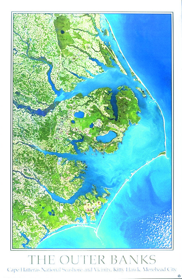
Landsat 30 meter data, 1”=5.3 miles.
Image size on this map is 20.5"x30"
The Outer Banks of North Carolina From Space Satellite Map is the perfect way to explore this unique and beautiful coastline. The image reveals the rich diversity of habitats in the area, from salt marshes and estuaries to barrier islands and coastal forests. You can see Moorehead City, New Bern, Williamston and Kill Devil Hills, NC. This map is perfect for nature enthusiasts, history buffs, and anyone interested in learning more about this fascinating region.
