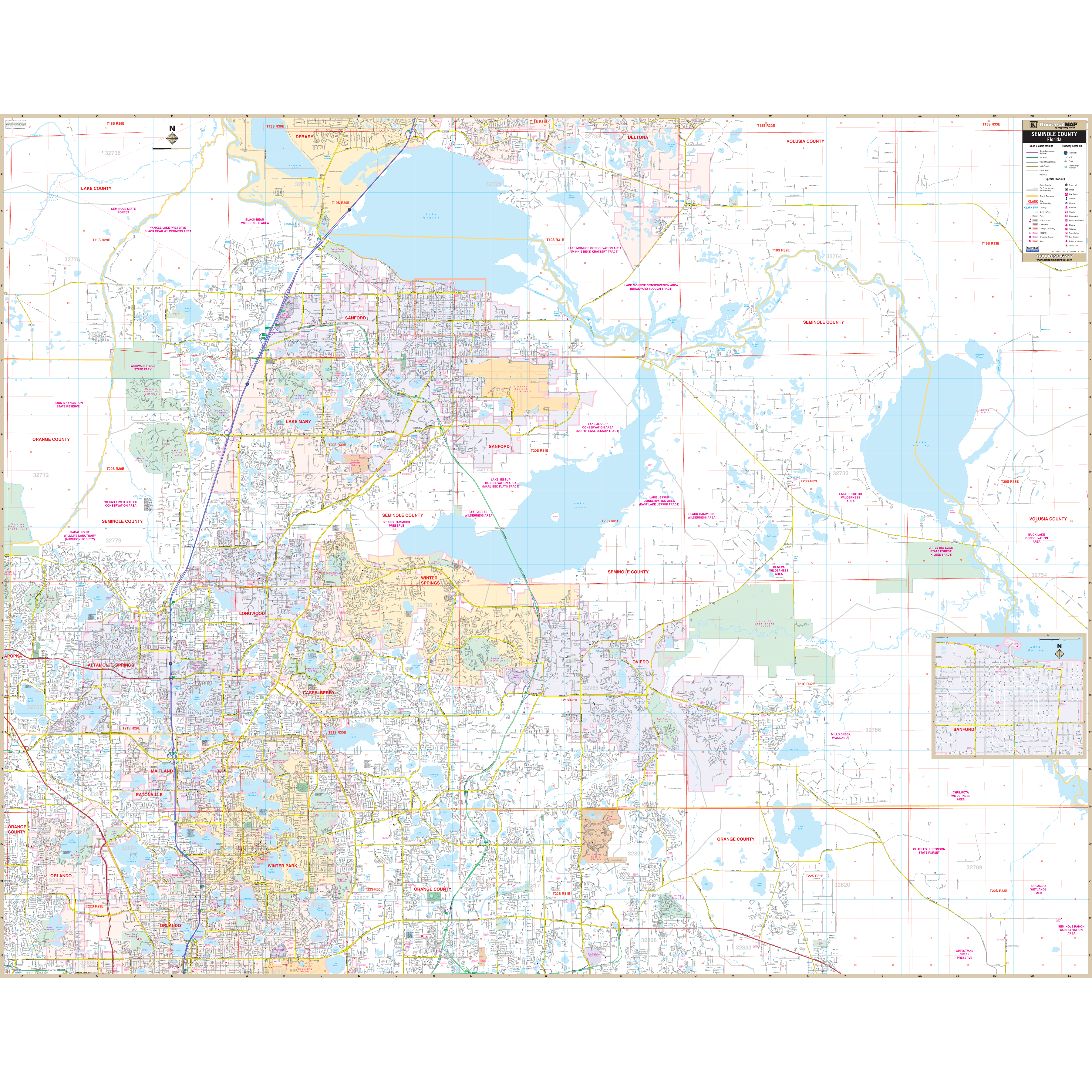
Our Seminole County, FL Wall Map measures
76" x 59" (6'4" W x 4'11" H) and features up-to-date cartography, with new streets and changes in complete street detail; is printed in color, with a markable and washable laminated surface; and offers a street index in a separate book-format.
The area of coverage includes all of Seminole County, with the following boundaries:
- North to Lake Monroe and the Volusia County line
- South to SR 50, in Orange County
- East to the Volusia County line
- West to the Orange County line
Details and features include:
- AIRPORTS
- BLOCK NUMBERS
- CEMETERIES
- EDUCATIONAL INSTITUTIONS
- FIRE POLICE STATIONS
- GOLF COUNTRY CLUBS
- GOVERNMENT BUILDINGS
- HOSPITALS
- LIBRARIES
- POINTS OF INTEREST
- POST OFFICES
- RAILROADS
- RECREATIONAL PARKS
- SHOPPING CENTERS
- STREETS HIGHWAYS
- WATER FEATURES
Framing rails are included, top and bottom, for easy wall mounting. Spring roller mounting is also available, for an additional $30.
Year: 2012
Edition: 1st
These maps are printed and finished to order. Please allow 4-6 weeks for delivery.