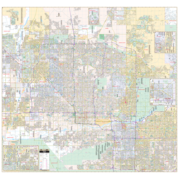
Our Phoenix, AZ Wall Map, with adjacent areas, measures
77" x 73" (6'5" W x 6'1" H) and features up-to-date cartography, with new streets and changes in complete street detail; is printed in color, with a markable and washable laminated surface; and offers a street index in a separate book-format.
The area of coverage includes the following boundaries:
- North to most of Scottsdale (remaining streets on inset)
- South to Phoenix City limits
- East to Fountain Hills and Mesa
- West to Glendale and Phoenix Glendale Municipal Airport
The Phoenix, AZ Wall Map also includes insets of Apache Junction, Southern Gilbert, Chandler, and Cave Creek and the remainder of Scottsdale.
Details and features include:
- AIRPORTS
- BLOCK NUMBERS
- CEMETERIES
- CITY LIMITS
- EDUCATIONAL INSTITUTIONS
- GOLF COUNTRY CLUBS
- GOVERNMENT BUILDINGS
- HOSPITALS
- LIBRARIES
- POINTS OF INTEREST
- POLICE STATIONS
- RAILROADS
- RECREATIONAL PARKS
- SHOPPING CENTERS
- STREETS HIGHWAYS
- WATER FEATURES
- ZIP CODE BOUNDARIES
Framing rails are included, top and bottom, for easy wall mounting. Spring roller mounting is also available, for an additional $30.
Year: 2017
Edition: 2nd
These maps are printed and finished to order. Please allow 4-6 weeks for delivery.