Menu


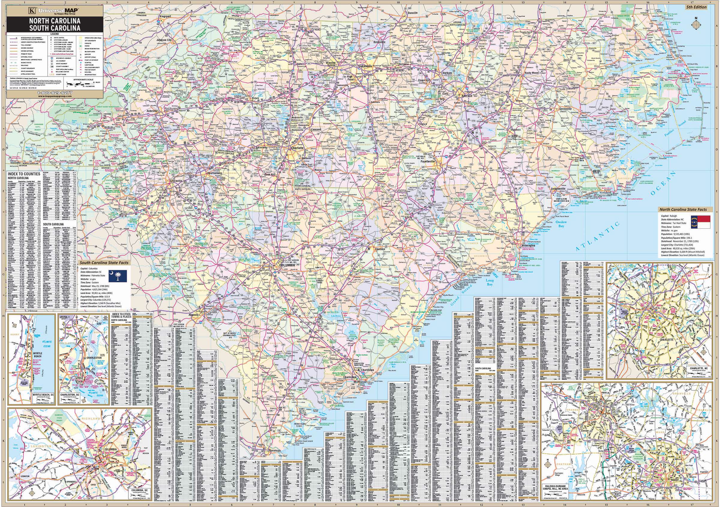
The North & South Carolina State Wall Map by Kappa Map Group measures 68 x 49 inches (5'8" W x 4'2" H) with cartography of 1" = 8 miles. Printed in color with a markable/washable-laminated surface.
Cities and counties along with their populations are indexed on the face of the map.
Includes insets of: Charlotte and Raleigh / Durham / Chapel Hill area in NC, and Columbia, Charleston and Myrtle Beach in SC. insets include: Interchange & Exit Numbers and some secondary roads. Details of the map include: All State & Federal Highways, Cities and Towns, Major Airports, Major Waterways, Points of Interest, City & Town Population Classifications, Points of Interest, State & National Parks and State Universities.
Map is available with the following options:
Year: 2013
5th Edition
These maps are printed and finished to order. Please allow 4-6 weeks for delivery.
