Menu


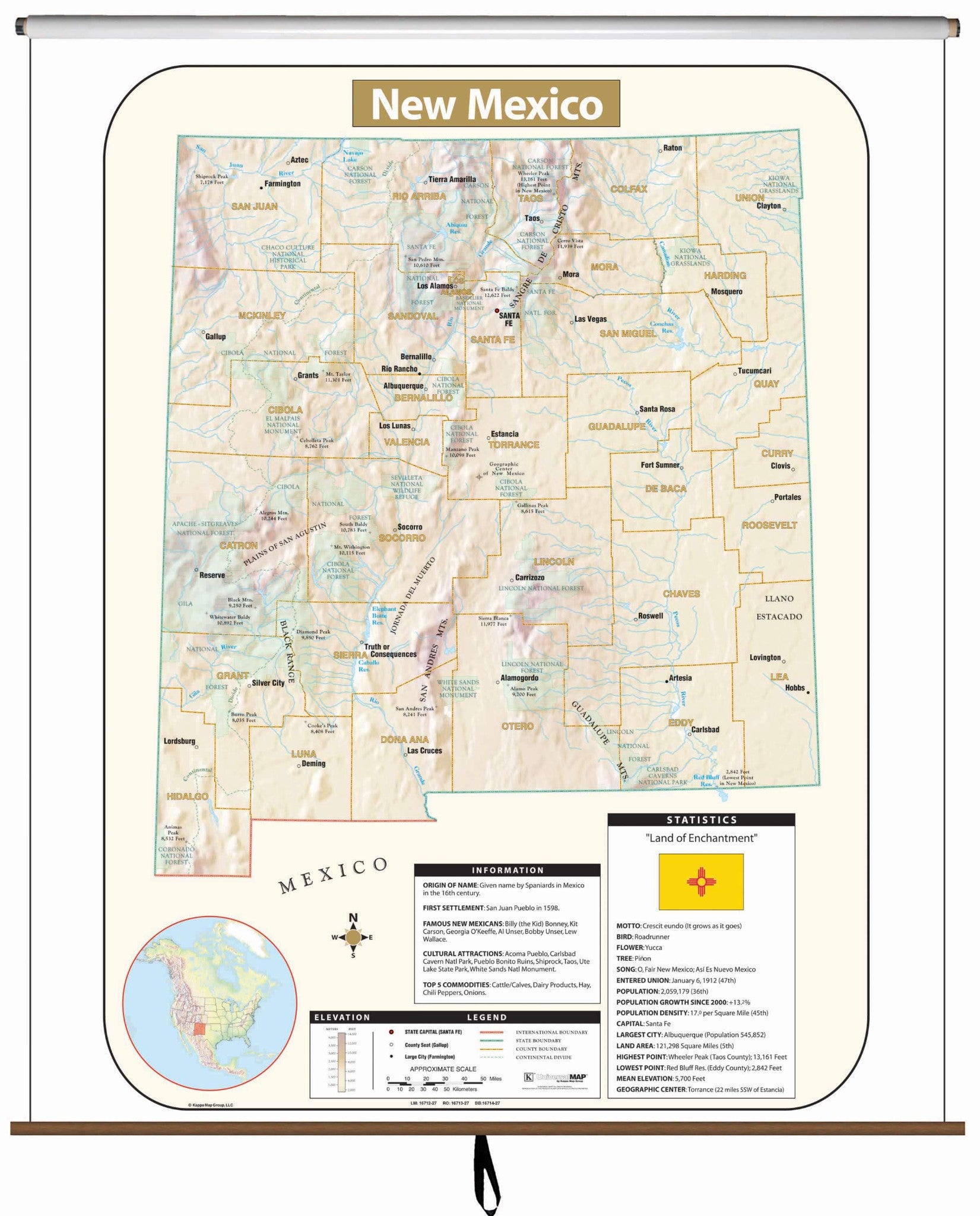
The New Mexico Large Scale Shaded Relief Topographical Wall Map by Universal Map measures 64" by 54" (approximately), is laminated, making it durable, markable, and easy to clean. Map is full-color.
Includes historical, anecdotal, and geographical information, an elevation scale measured in meters and feet, and a distance scale measured in miles and kilometers. Identifies county boundaries, the state flag, motto, bird, flower, and tree, plus total area, population, and origin of name.
These maps are printed and finished to order. Please allow 4-6 weeks for delivery.
