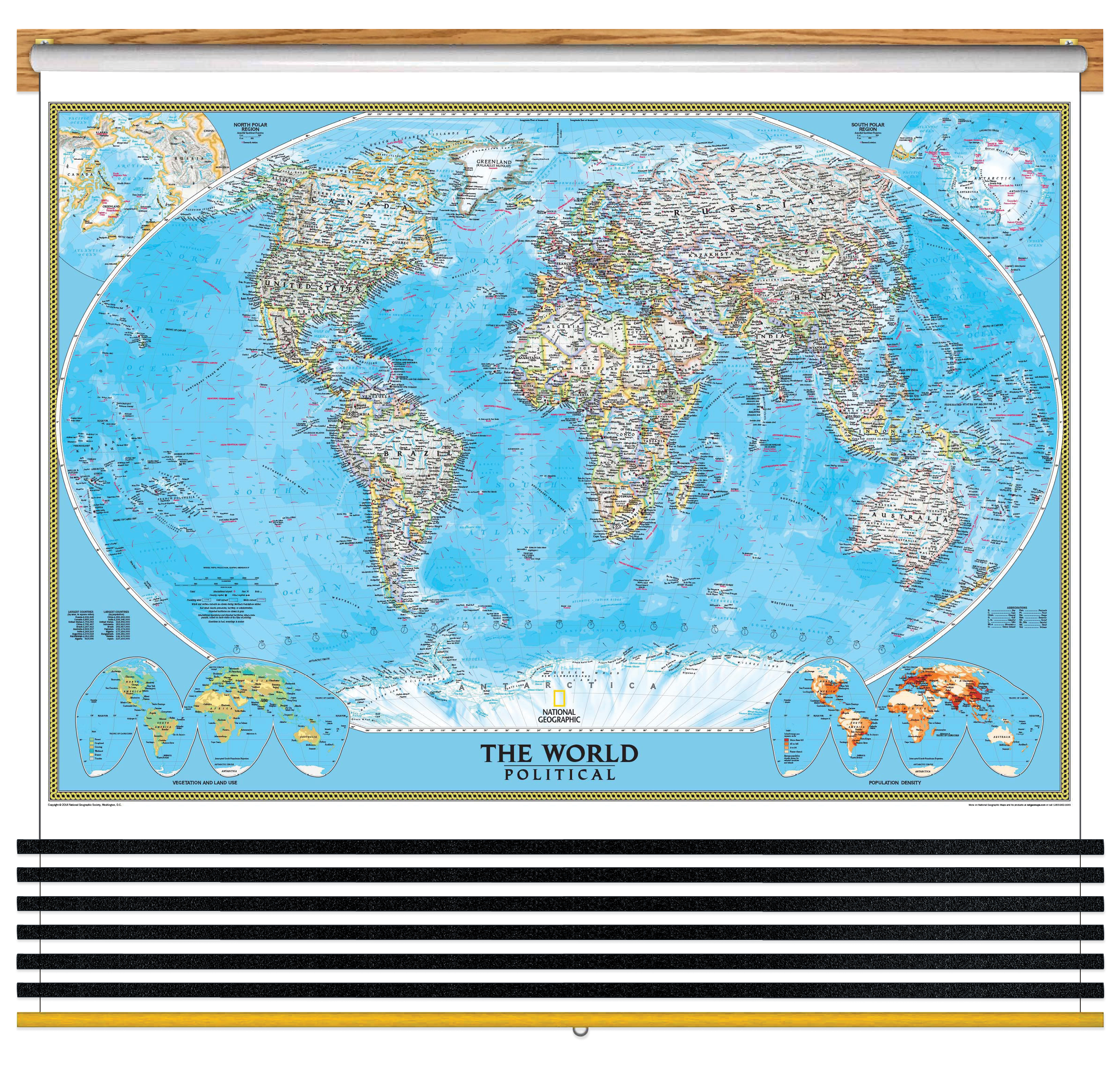
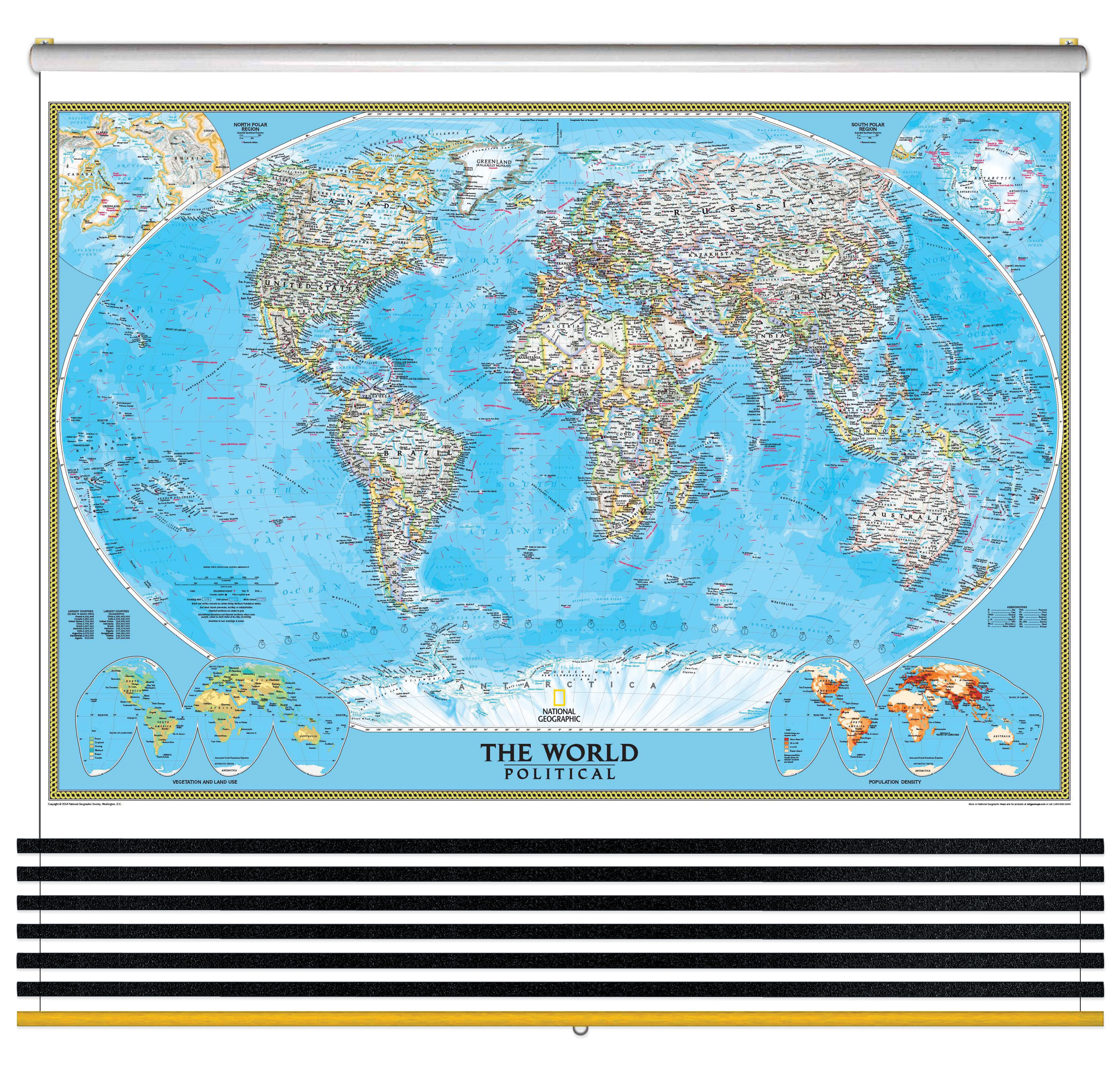
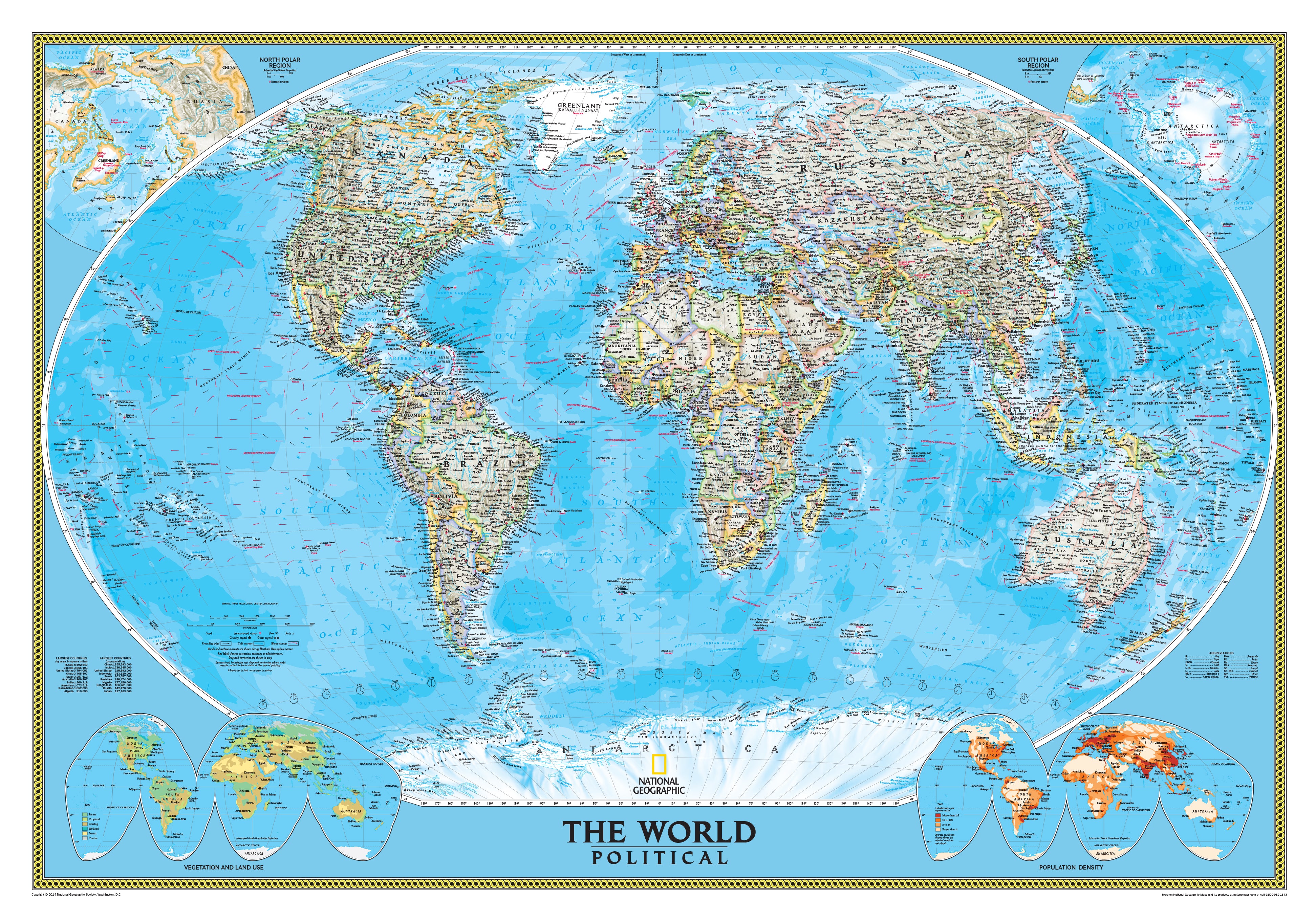
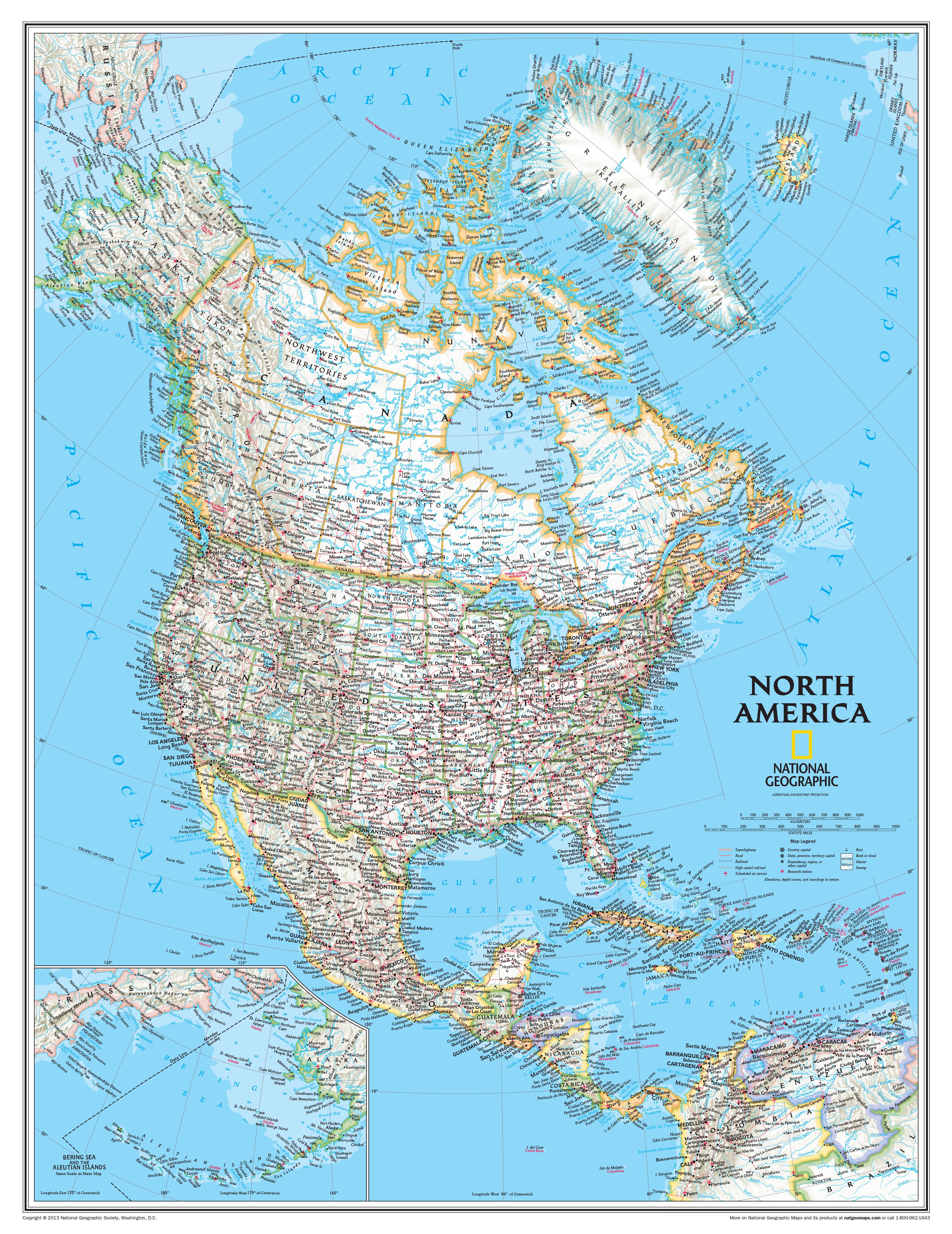
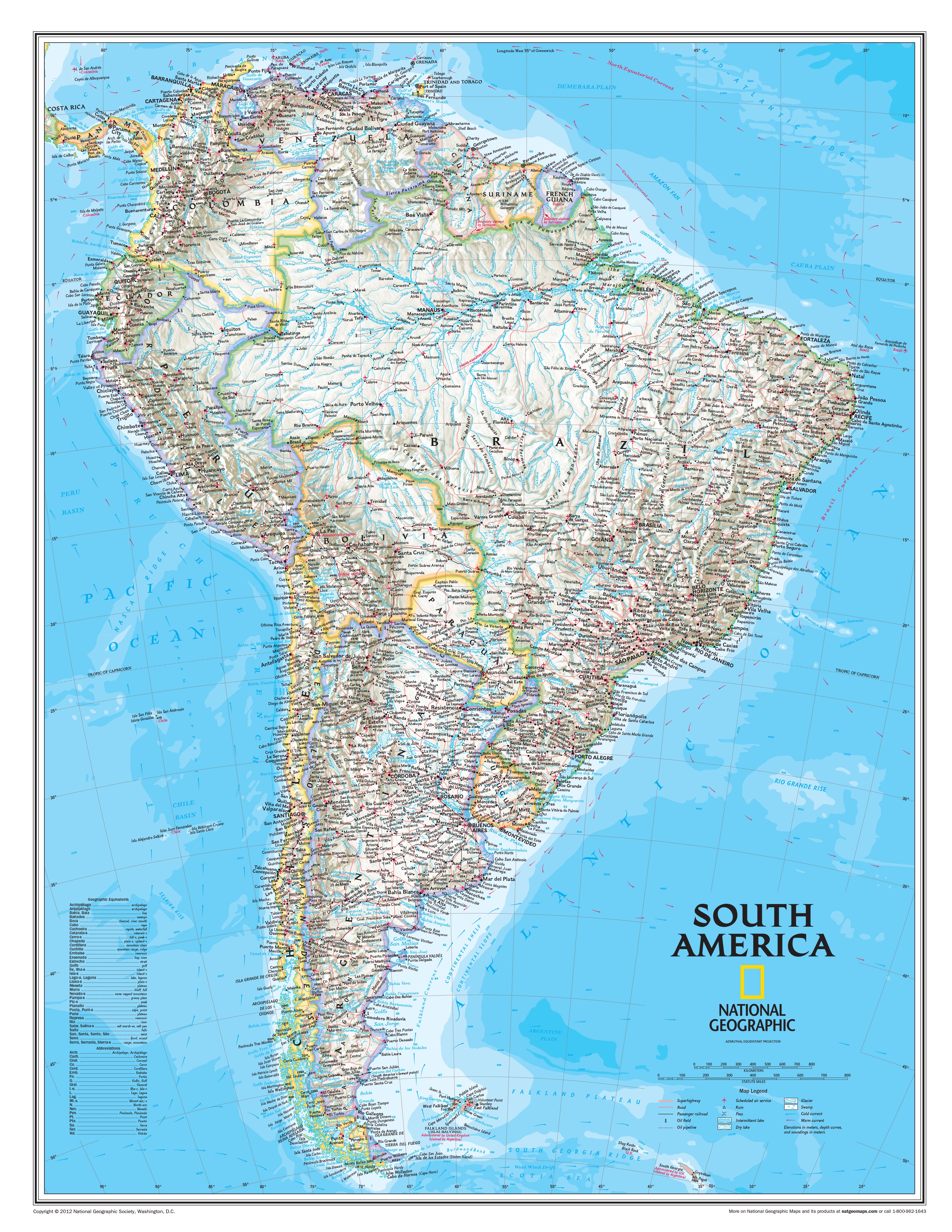
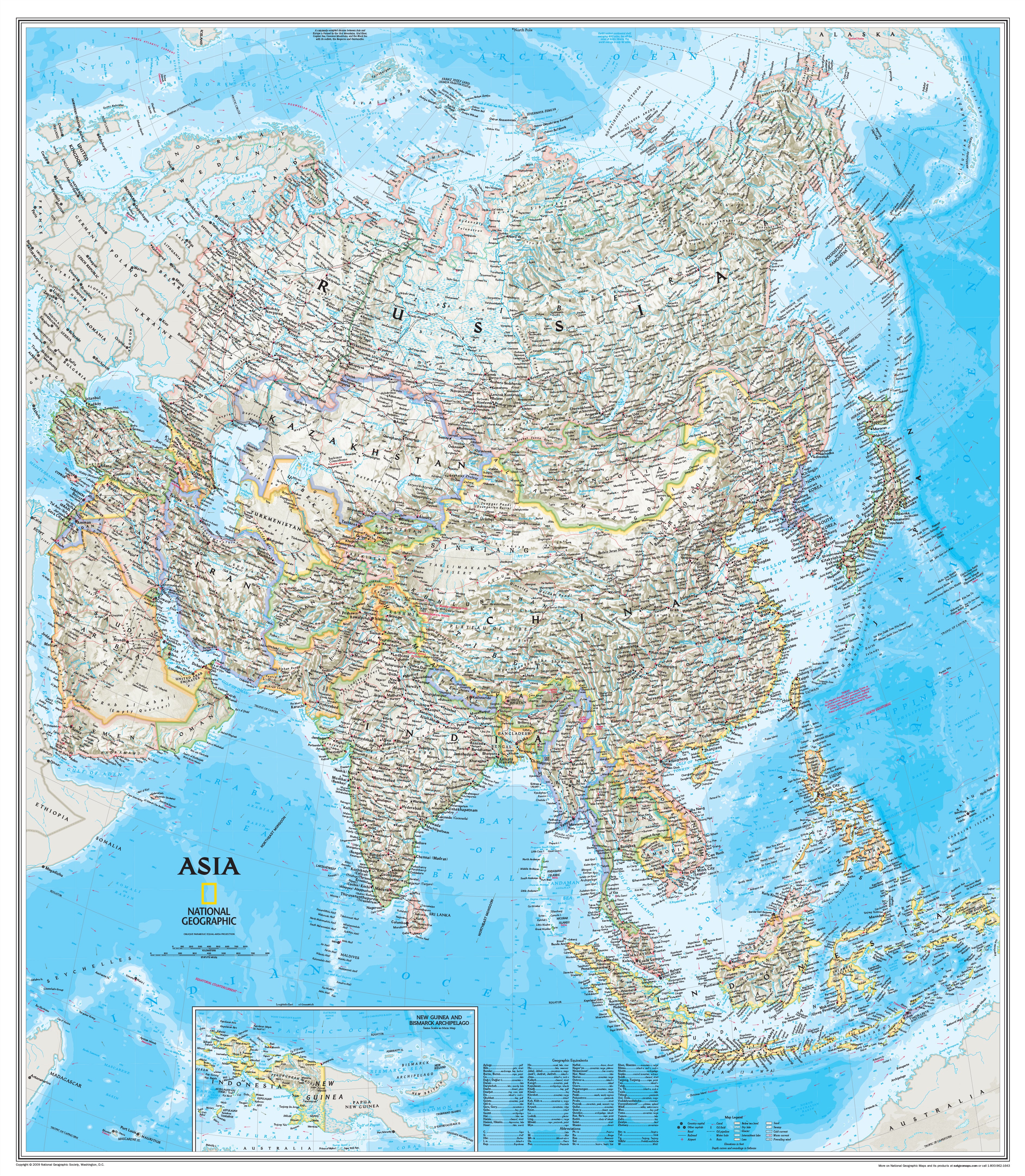
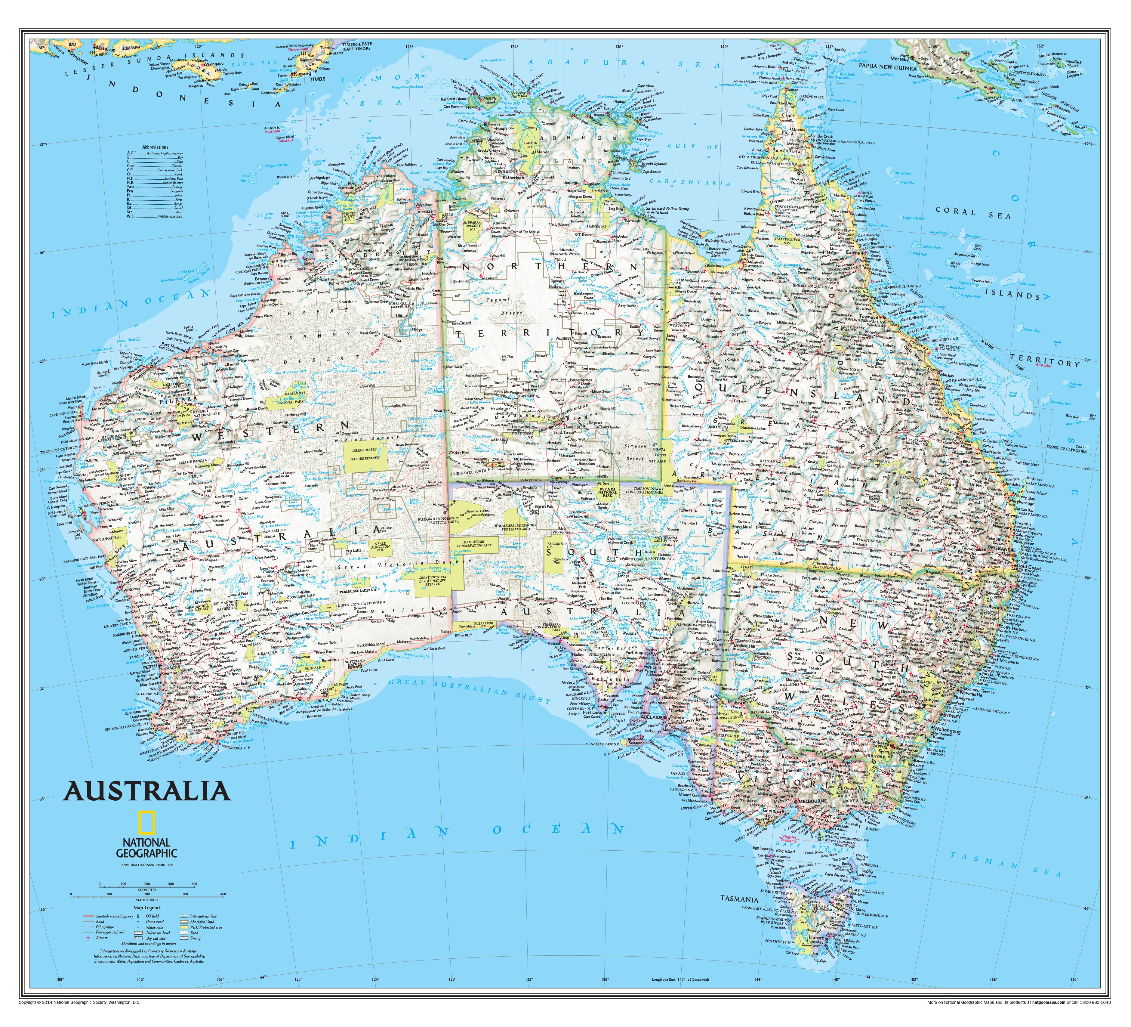
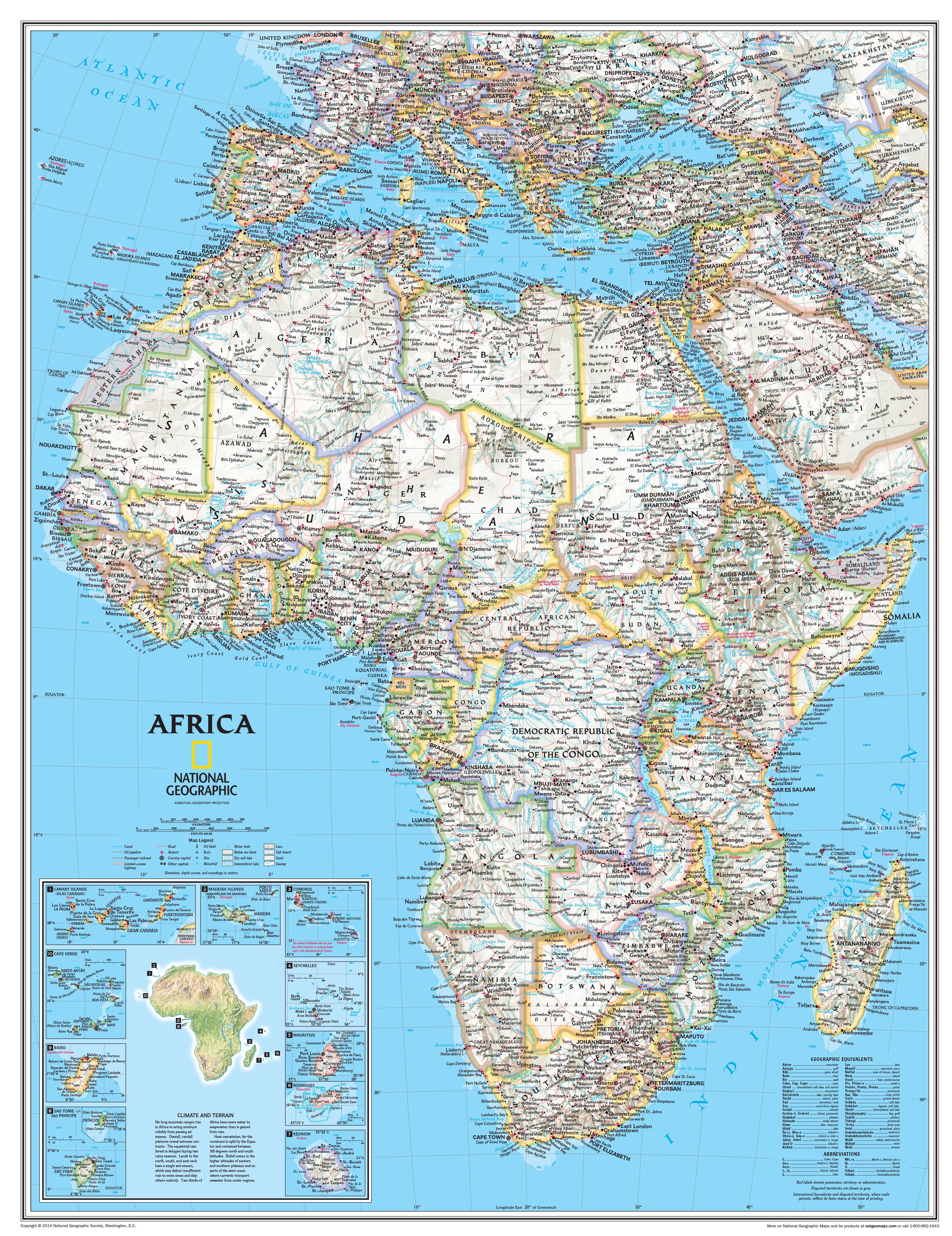
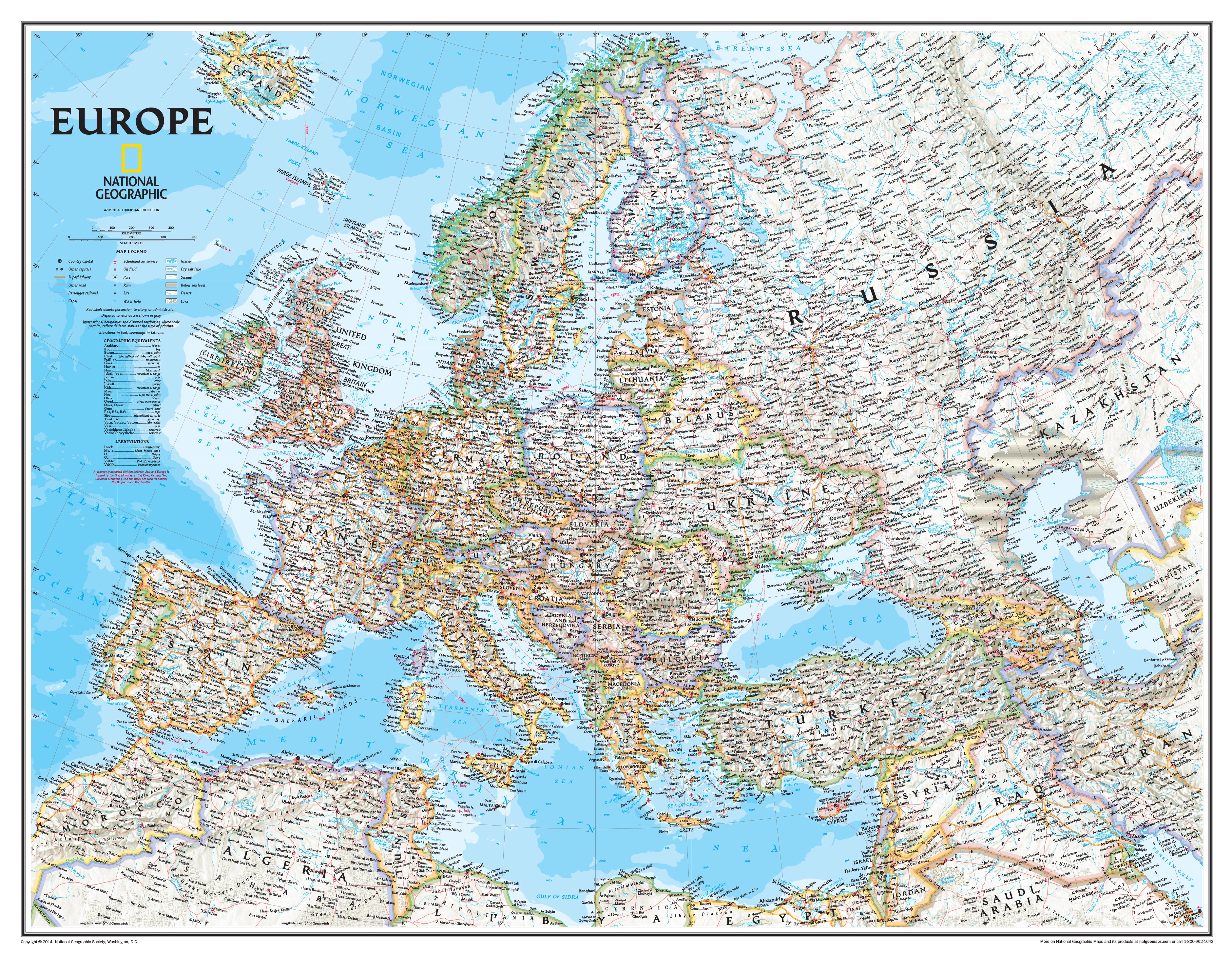
The World and 6 Continents Classroom Pull Down Bundle is a quality addition to any classroom. The World Map uses the Winkel Tripel projection to reduce distortion of land masses as they near the poles. Features include subtle border coloring on land, and prevailing winds and ocean currents at sea. Separate insets show the North and South Polar Regions, world vegetation and land use, and world population density. Each continent map includes country boundaries, place names, and bodies of water. They also include helpful insets of any surrounding islands. Continents included are North America, South America, Europe, Asia, Africa and Australia. Does not include Antarctica.
The National Geographic World Wall Map and 6 Continents Maps are all printed on 24lb. premium coated bond paper. They are also laminated on both sides using 3mm hot lamination, which protects your wall maps and allows you to write on them with dry-erase markers.
These laminated educational Pull Down maps are mounted to secure Spring Rollers ready to hang on any classroom wall.