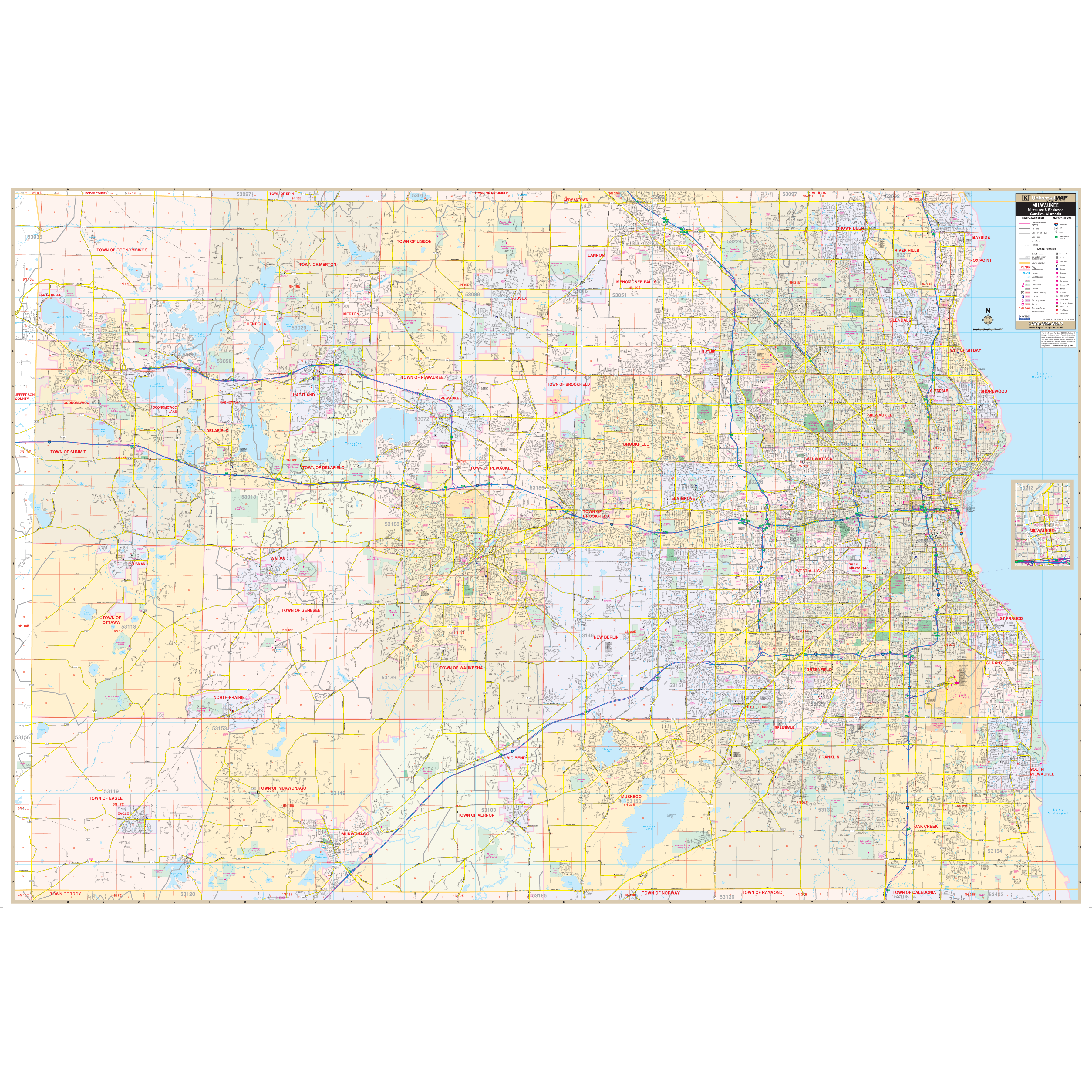
Our Milwaukee and Waukesha Counties, WI Wall Map, with adjacent areas, measures
78" x 53" (6'6" W x 4'5" H) and features up-to-date cartography, with new streets and changes in complete street detail; is printed in color, with a markable and washable laminated surface; and offers a street index in a separate book-format.
The area of coverage includes all of Milwaukee and Waukesha Counties, with the following boundaries:
- North to the Washington-Ozaukee County line
- South to the Walworth-Racine County line
- East to Lake Michigan
- West to the Jefferson County line
The Milwaukee and Waukesha Counties, WI Wall Map also includes an inset map of Downtown Milwaukee.
Details and features include:
- AIRPORTS
- BLOCK NUMBERS
- CEMETERIES
- CITY LIMITS (color-coded)
- EDUCATIONAL INSTITUTIONS
- FIRE POLICE STATIONS
- GOLF COUNTRY CLUBS
- GOVERNMENT BUILDINGS
- HOSPITALS
- LIBRARIES
- POST OFFICES
- RAILROADS
- RECREATIONAL PARKS
- SECTION, TOWNSHIP RANGE LINES
- SHOPPING CENTERS
- STREETS HIGHWAYS
- WATER FEATURES
- ZIP CODE BOUNDARIES
Framing rails are included, top and bottom, for easy wall mounting. Spring roller mounting is also available, for an additional $30.
Year: 2013
Edition: 1st
These maps are printed and finished to order. Please allow 4-6 weeks for delivery.