
Maptech ChartKit® Region 8, 16th Ed. - Florida West Coast and the Keys

Sale price
$ 129.95
Regular price
$ 144.95
You save
$ 15 (11%)
Taxes and shipping calculated at checkout
In stock and ready for shipping

Frequently Bought Together

We Accept

American Express
Apple Pay
Diners Club
Discover
Meta Pay
Google Pay
Mastercard
Shop Pay
Visa

Product Information

NEW! ChartKit® Region 8, 16th Edition

Florida West Coast and the Keys

Maptech's ChartKits® are full-color reproductions of NOAA charts bundled together in large cruising regions. ChartKits® have been a mainstay of boating for generations—more than 1 million ChartKits® have been sold in the past 30 years! Chartbook Companion Software included free with continental ChartKit® books.

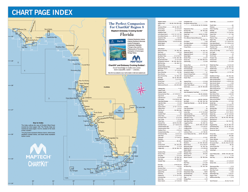
88 Chart Pages

  • A Great Value You’ll save up to 90% compared to the cost of purchasing individual government charts.
  • The Perfect Size Large enough to plot routes; small enough to fit on your lap.
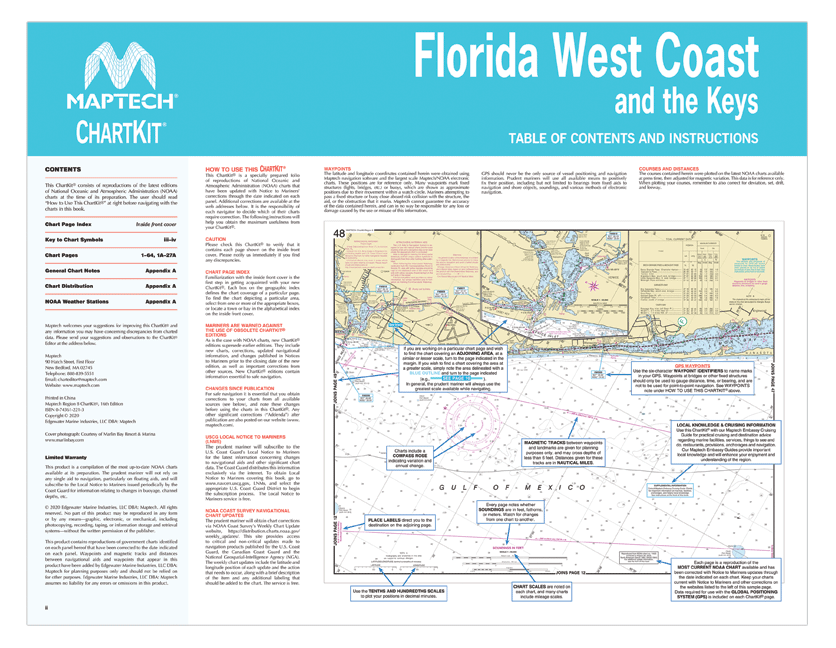
  • Easy to Use Pre-plotted waypoints and lat/long grids for your GPS; magnetic courses for your compass.
  • Fully Referenced Geographic and alphabetical indexes quickly point you to the right page.
  • Reliable A great primary or secondary navigational reference.
  • No Batteries Required!

ChartKit® Features

  • 22" x 17" spiral-bound charts
  • GPS waypoints
  • Magnetic courses
  • Multiple chart scales
  • "Go to" page numbers
  • Aerial photos
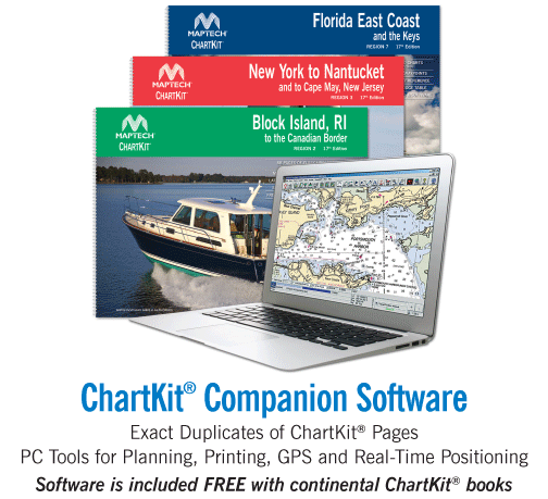
  • Companion Software

Turn Your PC into a Chart Plotter! Chartbook Companion Software Included free with continental ChartKit® books.

  • Exact Duplicates of ChartKit® Pages
  • PC Tools for Planning, Printing, GPS and Real-Time Positioning

Recommended for You