Menu


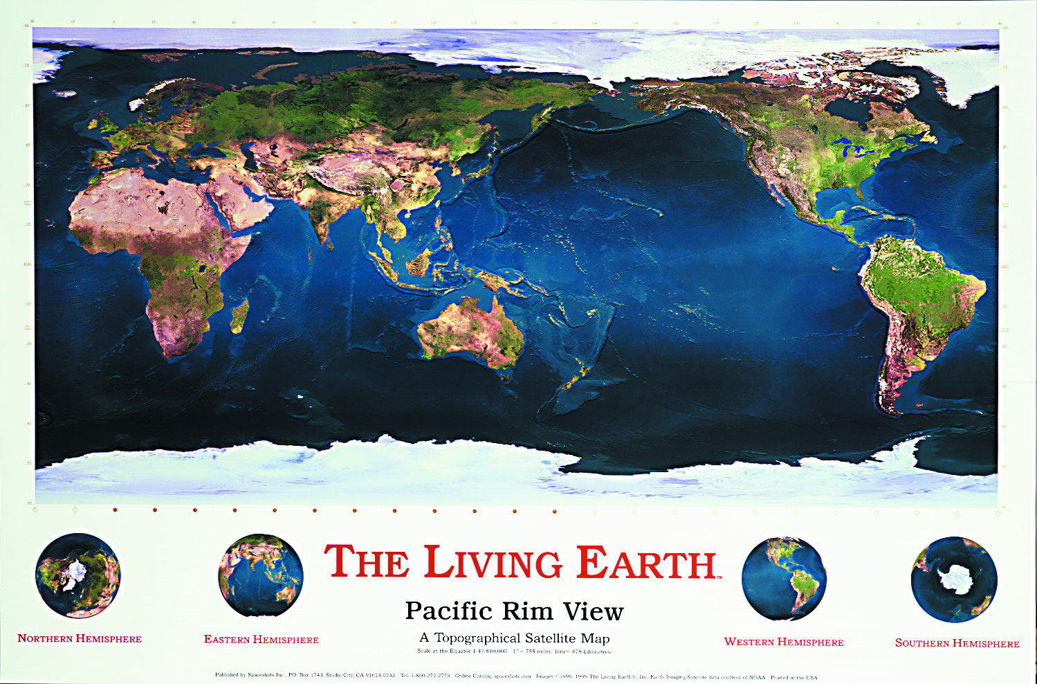
36x24 inches, (91x61cm),
Landsat, NOAA and AVHRR data.
Scale at the equator 1:47,810,000, 1" = 755miles, 1cm = 478km
The vast Pacific Ocean is front and center in this smooth combination of satellite data with ocean depth detail. National boundaries are subtly marked in gold without detracting from the overall picture. The Brilliant Earth is the perfect companion to this Image.
