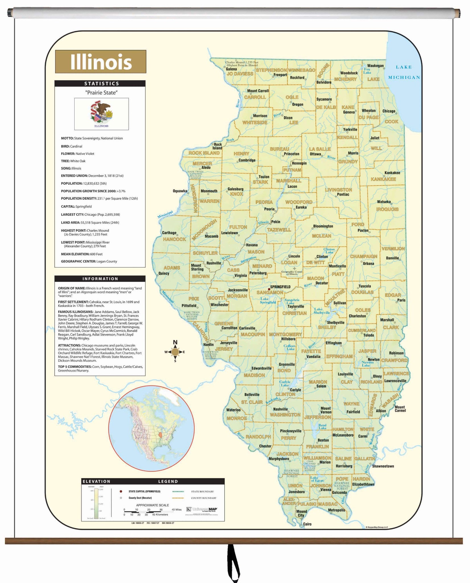
The Illinois Large Scale Shaded Relief Topographical Wall Map by Universal Map measures 64" by 54" (approximately), is laminated, making it durable, markable, and easy to clean. Map is full-color.
Includes historical, anecdotal, and geographical information, an elevation scale measured in meters and feet, and a distance scale measured in miles and kilometers. Identifies county boundaries, the state flag, motto, bird, flower, and tree, plus total area, population, and origin of name.
Map is available with the following options:
-
Laminated: Laminated for protection on both sides. Use wet erase markers to write on wipe off.
-
Railed: Black plastic framing rails are added on the top and bottom of your Laminated map for easy wall mounting.
-
Spring roller: A Spring roller is applied to a Laminated map to turn it into a pull down map.
-
Spring roller/Backboard: Laminated map is attached to spring roller and we provide backboard and all components to mount map on wall.
These maps are printed and finished to order. Please allow 4-6 weeks for delivery.