Menu


Usually ships in 1-2 business days. Please allow additional 3 business days for framed or foamed backed options.
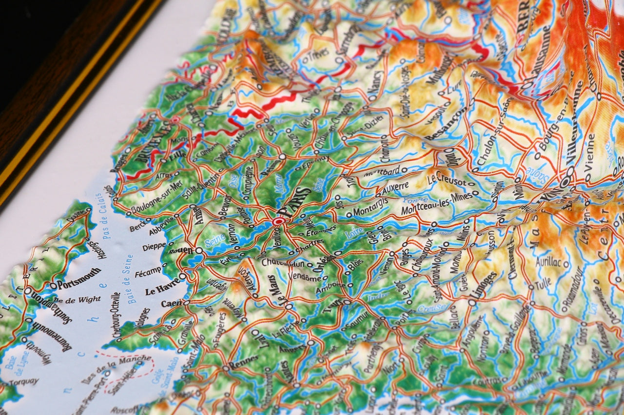
With over 2 inches of relief, this France raised relief map provides a very unique perspective. This map details place names, major roadways, mountain ranges with some peak heights, waterways, and boundaries with capitals,
This raised relief may be purchased unframed, framed or with a rubberized foam backing suitable for hands-on examination. The latter is recommended as a teaching aid for use in schools, colleges and universities.
