Menu


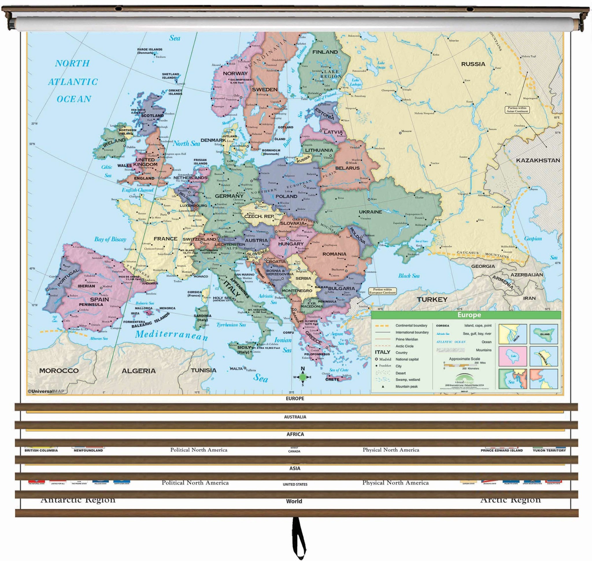
Make the best use of your space with these multi-map sets, mixing and matching any wall map title in the Essential Wall Map series.
Continent edition wall maps clearly identify political county borders, with shaded relief highlighting the physical features of the land. Capitals, major cities, Waterways, and latitude and longitude lines are also included. A World inset map shows the location of each continent. Meets U.S. History curriculum requirements. This product is ideal for public, private, parochial, and home schools.
All maps in this series are markable with a wet erase or water-soluble marker. Durably laminated maps measure 54"¿½ x 43"¿½ or 54"¿½ x 69"¿½, and are mounted on roller with backboard.
Please indicate which maps you would like in your set in the notes section when ordereing.
Your choices are:
