Menu


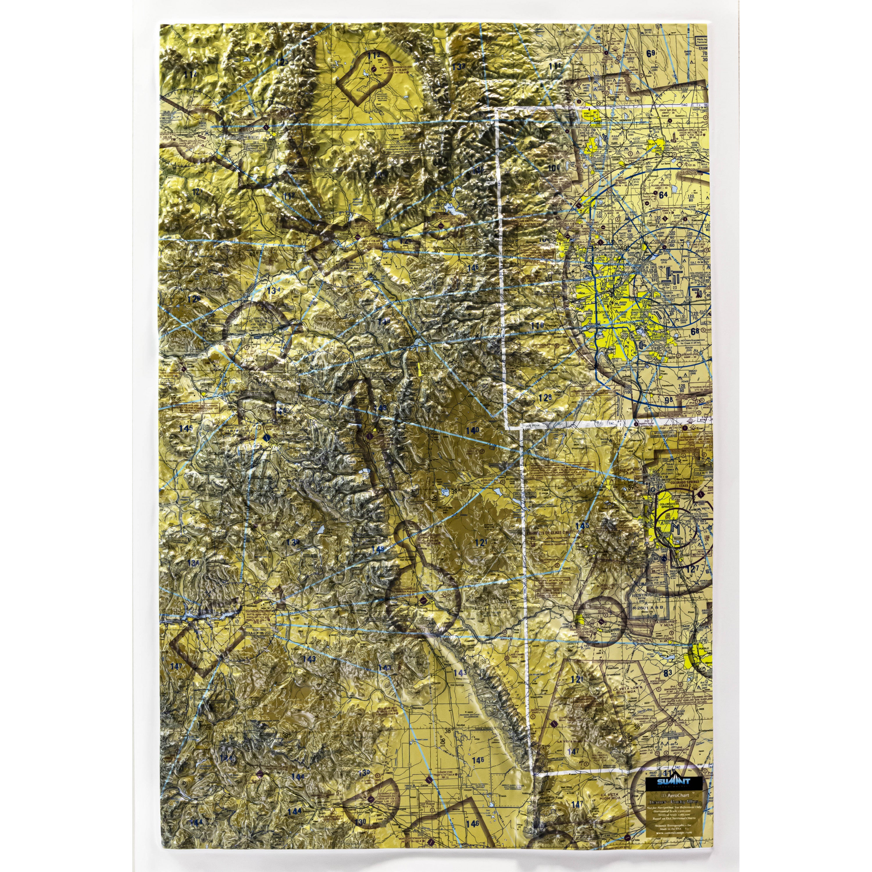
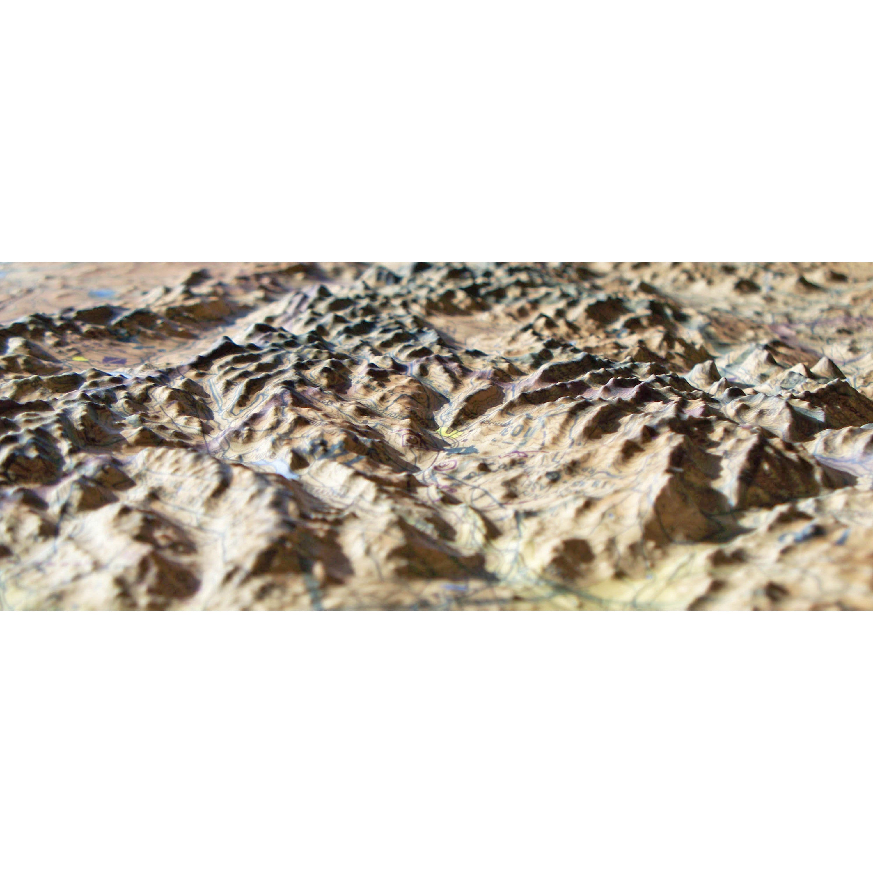
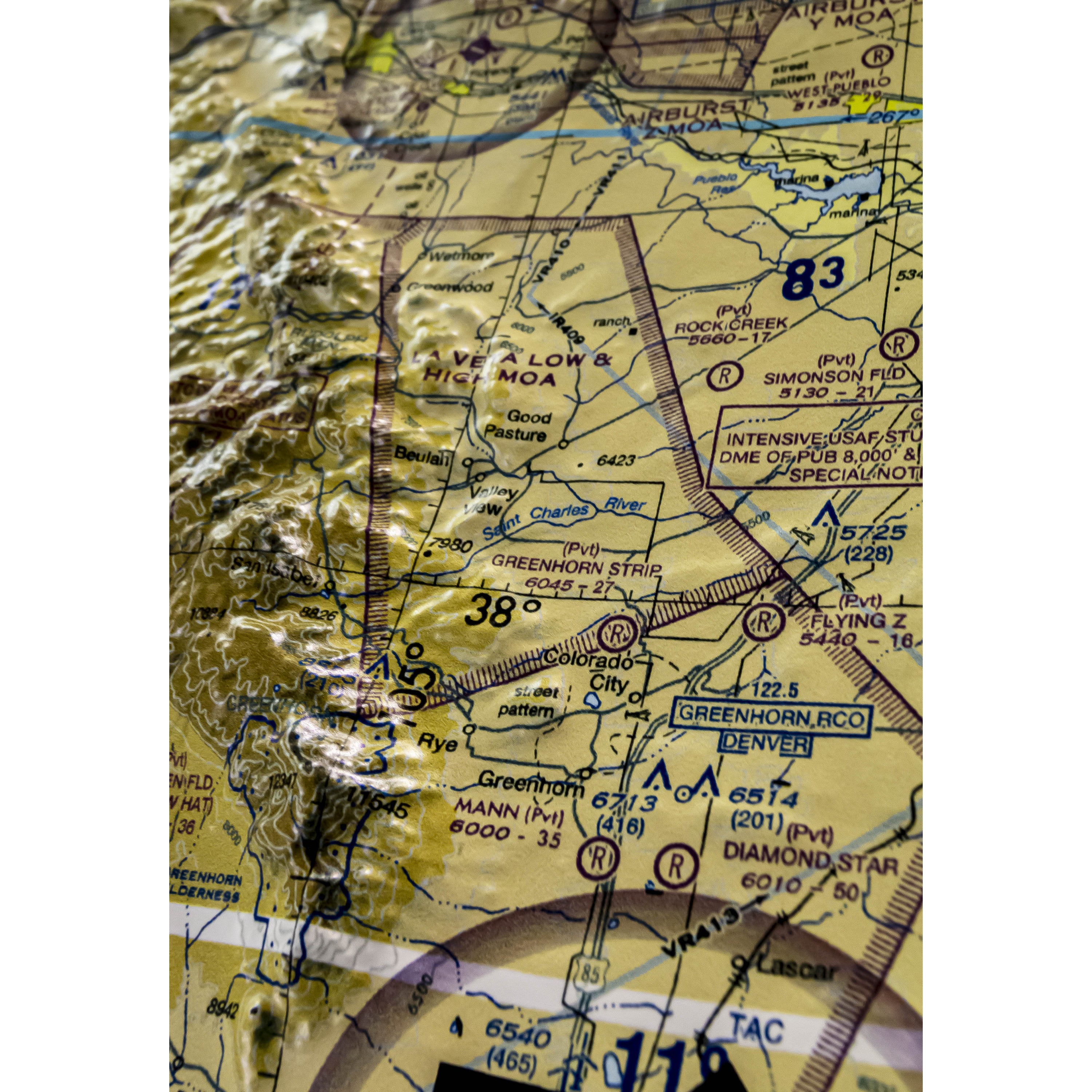
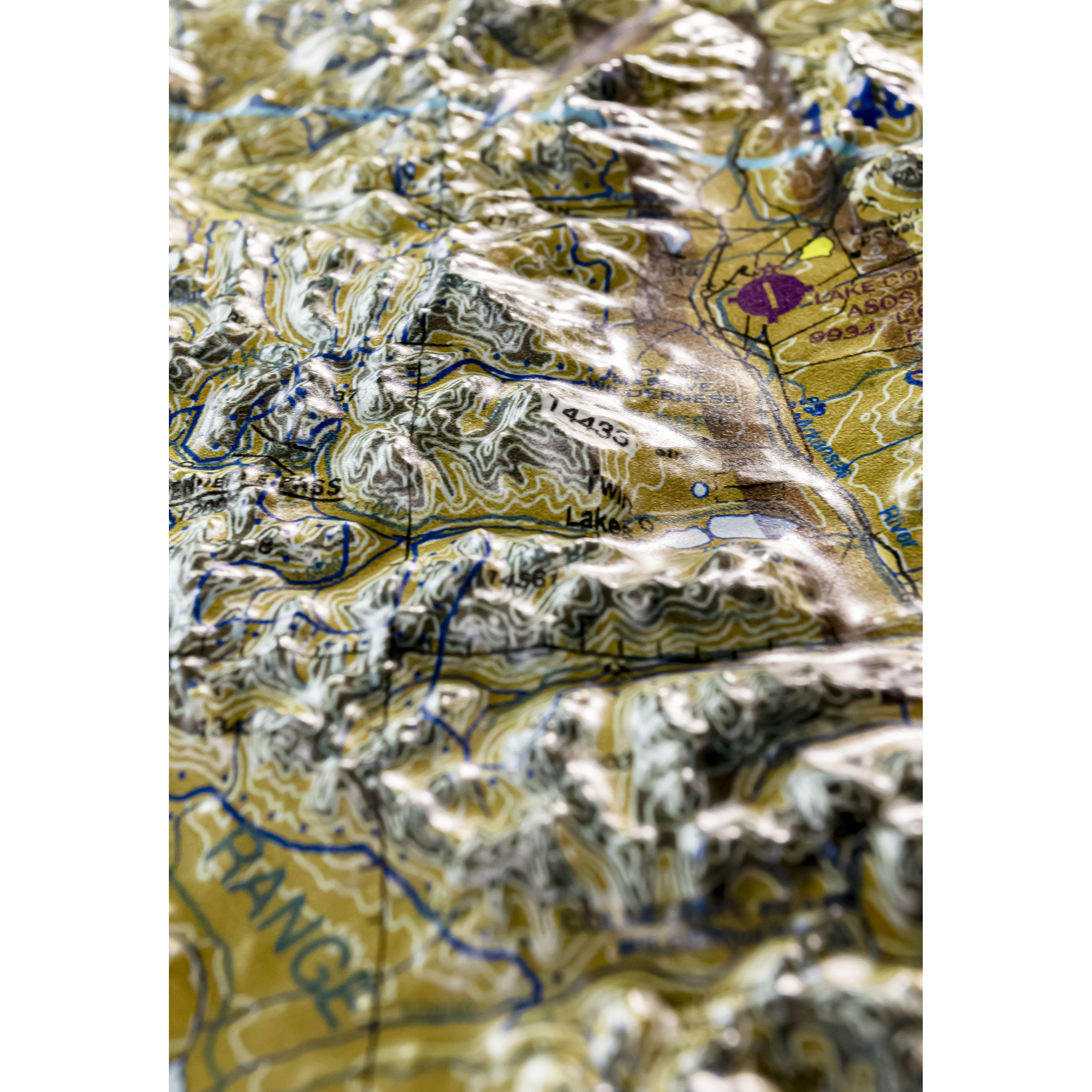
This 3D FAA Sectional aeronautical wall chart covers the high Rocky Mountains, from Denver and Colorado Springs in the east to Aspen and Glenwood Springs in the west. Over 238 miles of the rugged Rockies are shown north-to-south in striking 3D detail. (See the More Pictures page --button below-- to see more detail of this amazing 3D chart.) The precisely molded 3D shape allows pilots to see and feel the terrain shape and clearly understand how it relates to the airspace and flight. Pilots will value referencing this chart for flight planning, training, and as a general conversation piece, whether hung on a wall of an office, hangar, or home. These 3D AeroCharts are available unframed or framed (light, natural or dark stained solid oak wood and black aluminum).
Each raised relief map starts as a map printed on a flat study sheet of vinyl. It is carefully registered over a 3D model that is made from USGS digital elevation model data. The vinyl is heated to make it pliable and a vacuum is created to form the map over the model. Take a look at the process below.

This large map is available fully framed and ready to hang or unframed, perfect for pinning to a bulletin board.
Usually ships in 5-7 business days. Please allow additional 5 business days for framed options.
This 3D FAA Sectional aeronautical wall chart covers the high Rocky Mountains, from Denver and Colorado Springs in the east to Aspen and Glenwood Springs in the west. Over 238 miles of the rugged Rockies are shown north-to-south in striking 3D detail. (See the More Pictures page --button below-- to see more detail of this amazing 3D chart.) The precisely molded 3D shape allows pilots to see and feel the terrain shape and clearly understand how it relates to the airspace and flight. Pilots will value referencing this chart for flight planning, training, and as a general conversation piece, whether hung on a wall of an office, hangar, or home. These 3D AeroCharts are available unframed or framed (light, natural or dark stained solid oak wood and black aluminum).
Each raised relief map starts as a map printed on a flat study sheet of vinyl. It is carefully registered over a 3D model that is made from USGS digital elevation model data. The vinyl is heated to make it pliable and a vacuum is created to form the map over the model. Take a look at the process below.
This large map is available fully framed and ready to hang or unframed, perfect for pinning to a bulletin board.
Usually ships in 5-7 business days. Please allow additional 5 business days for framed options.