Menu


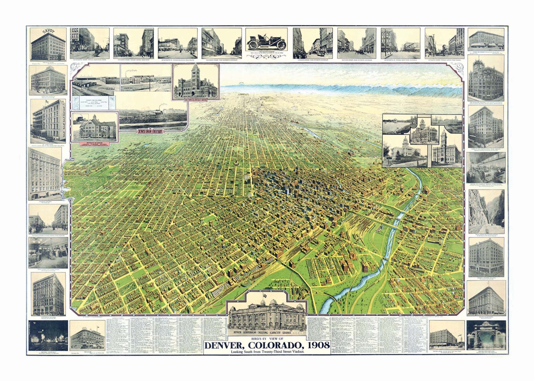
The Denver 1908 Historical Print Mounted Wall Map is a bird"s-eye view of Denver, CO looking South from the Twenty-Third Street Viaduct. Retrieved from the Library of Congress, Geography and Map Division, and digitally restored by Kappa Map Group in 2011.
This beautifully-detailed illustration includes an extensive index of the areas and buildings found within the map, as well as, insets of area buildings, such as the Brown Palace Hotel. Vintage coloring and some untouched imperfections give this modern print a historic feel. This map is laminated, mounted on foamcore and ready to frame. A beautiful addition to any home or office!
40" x 28"
Map is available with the following options:
These maps are printed and finished to order. Please allow 4-6 weeks for delivery.
