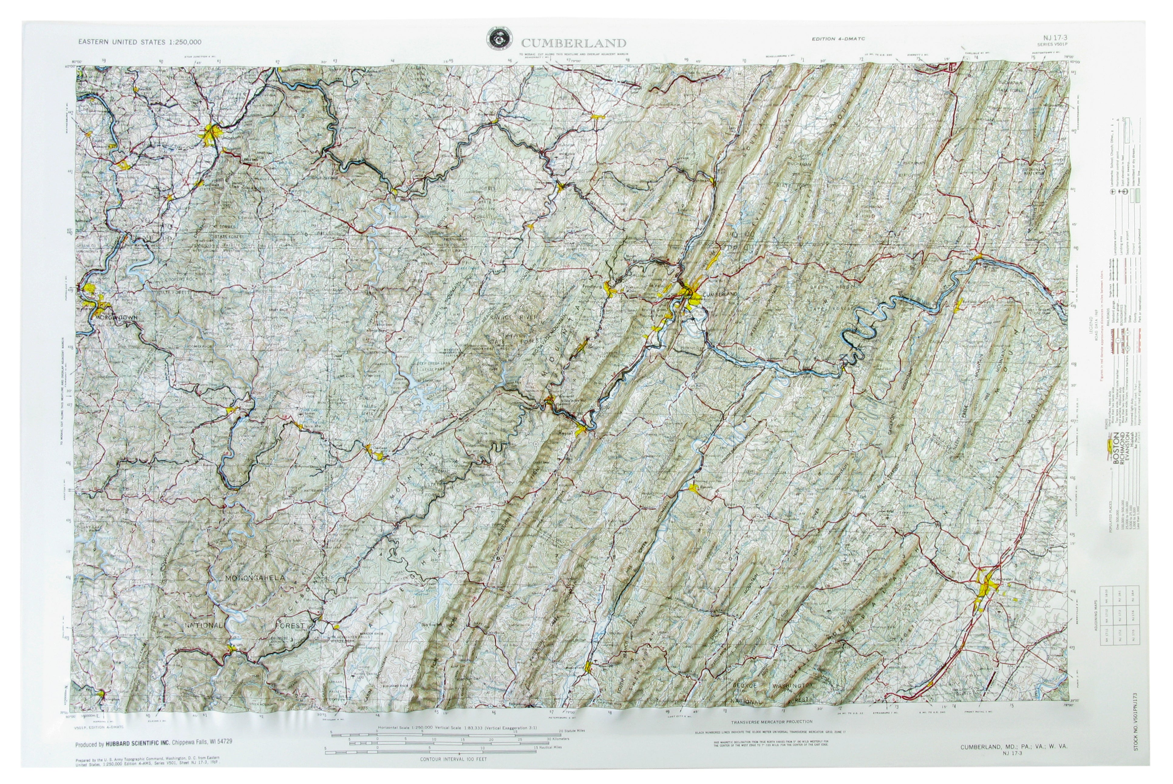
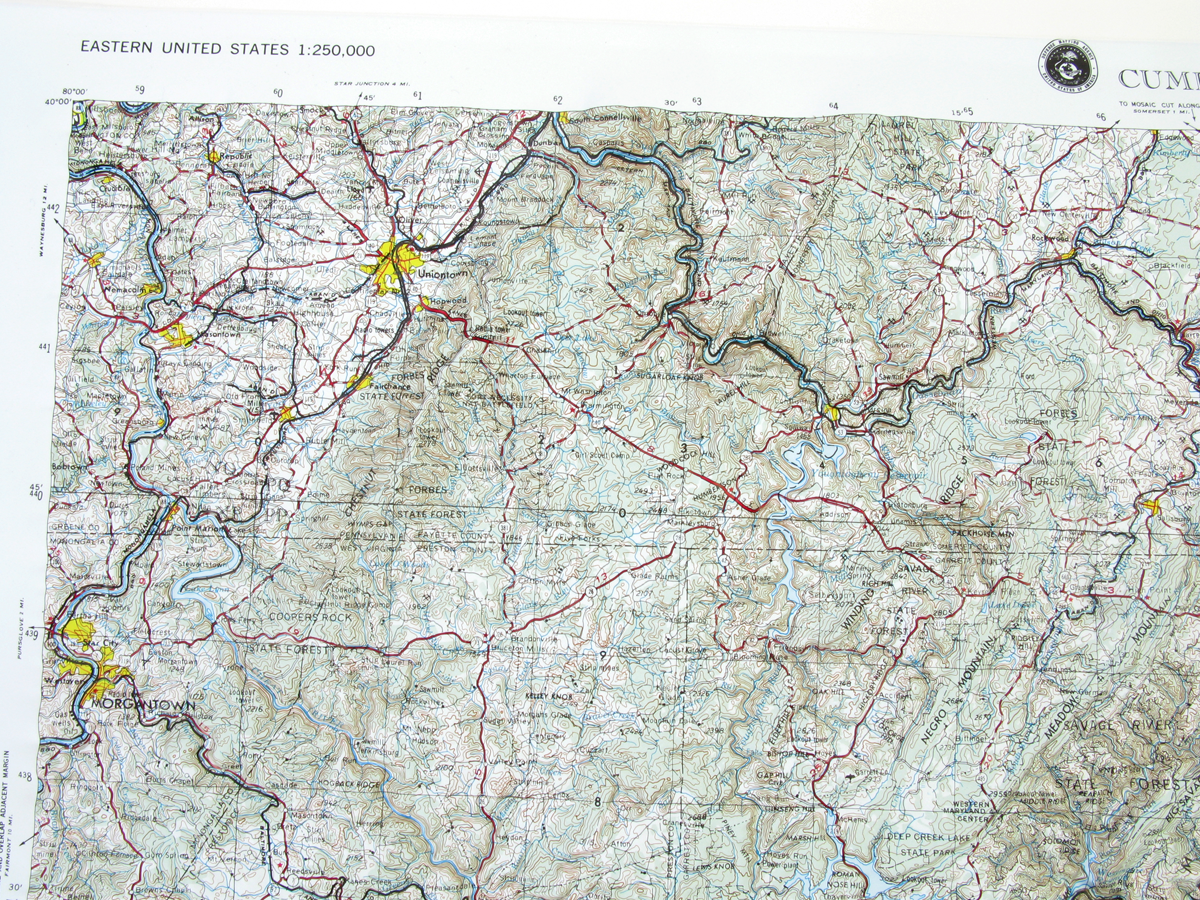
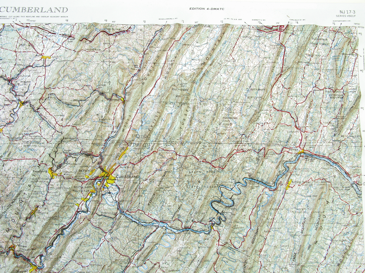
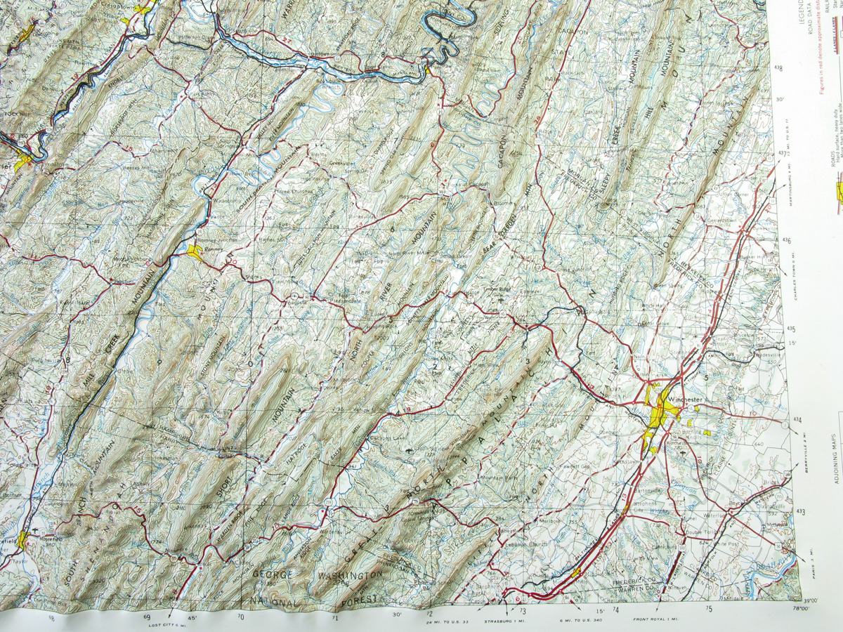
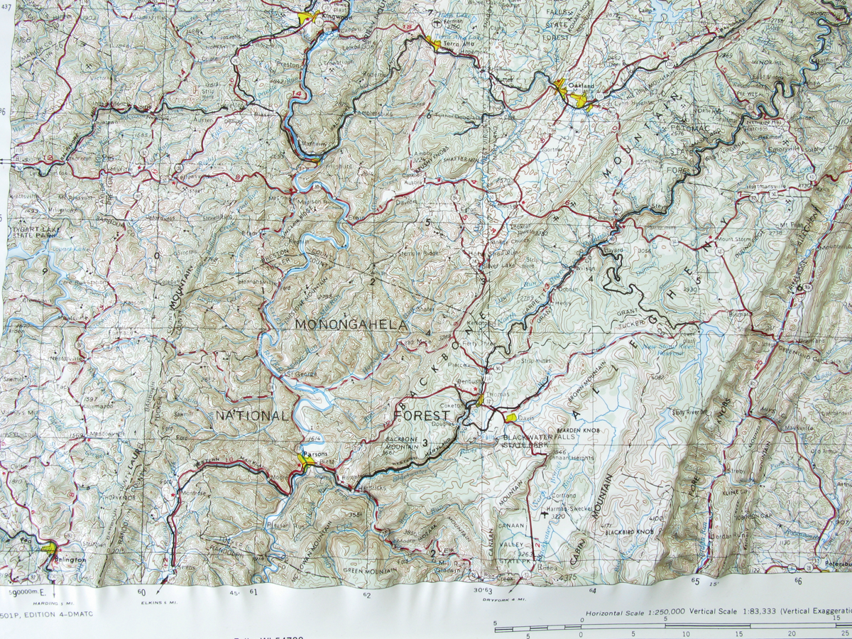
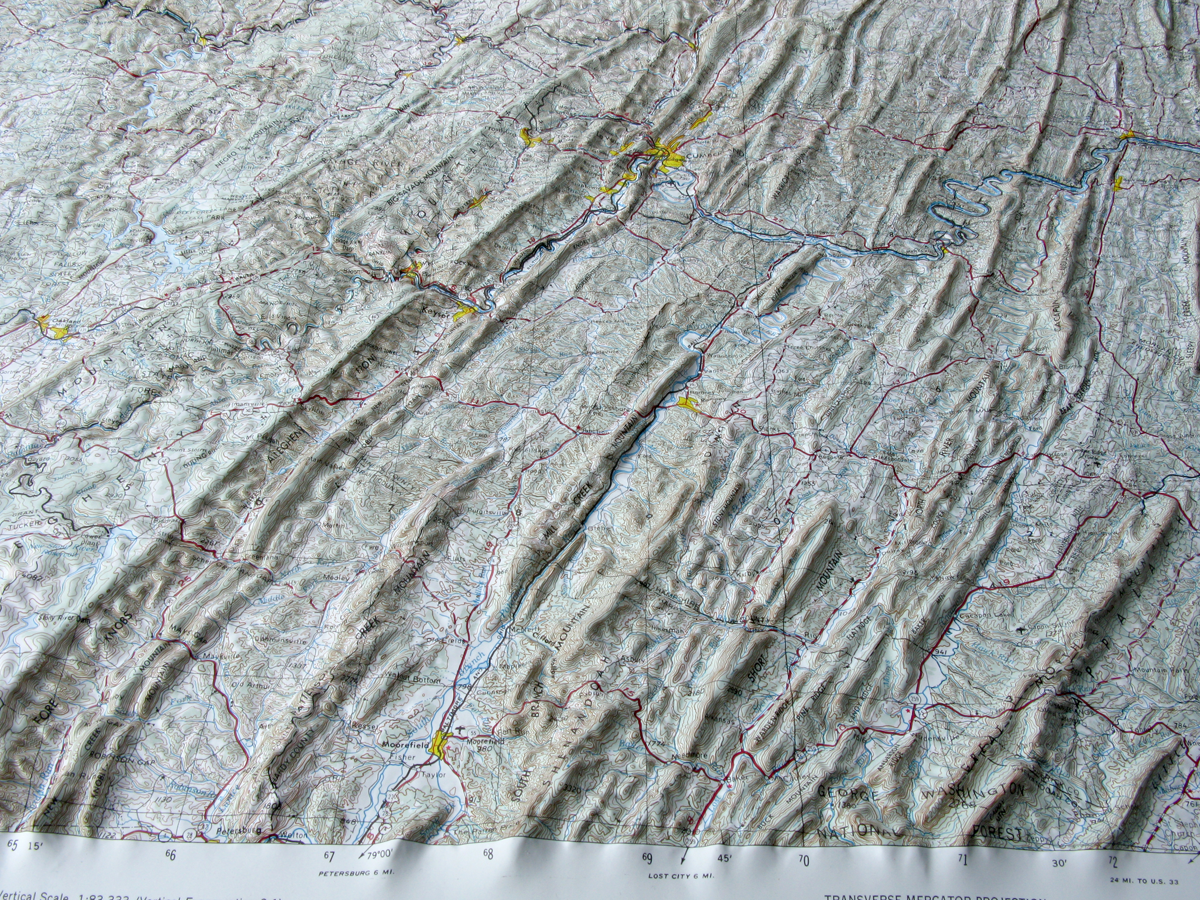
This map covers portions of Maryland, West Virginia and Pennsylvania.
Coverage:
Latitude: 39°-40° North
Longitude: 78°-80° West
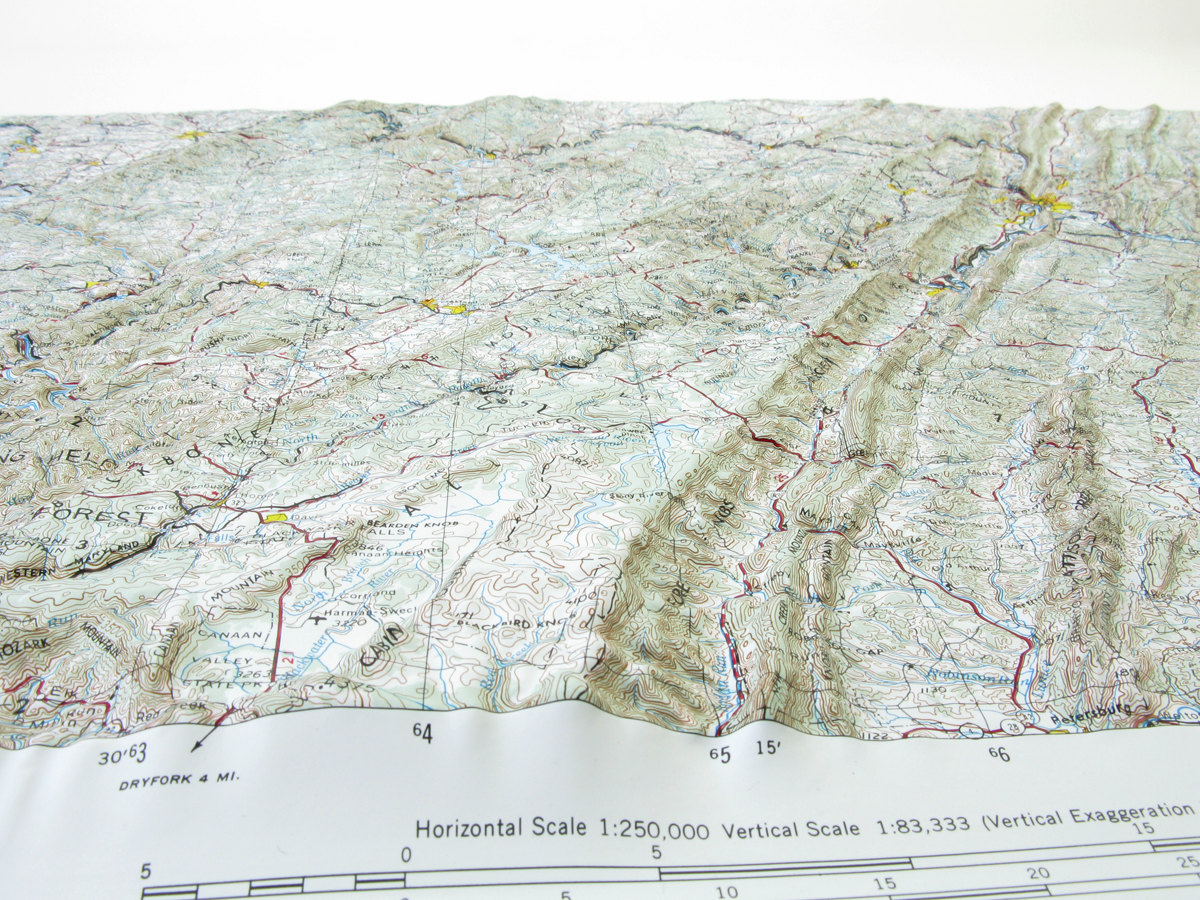
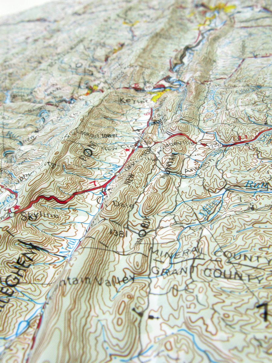
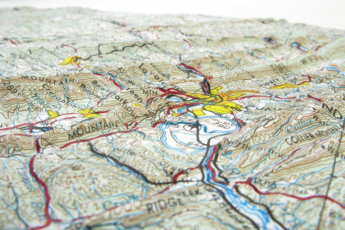
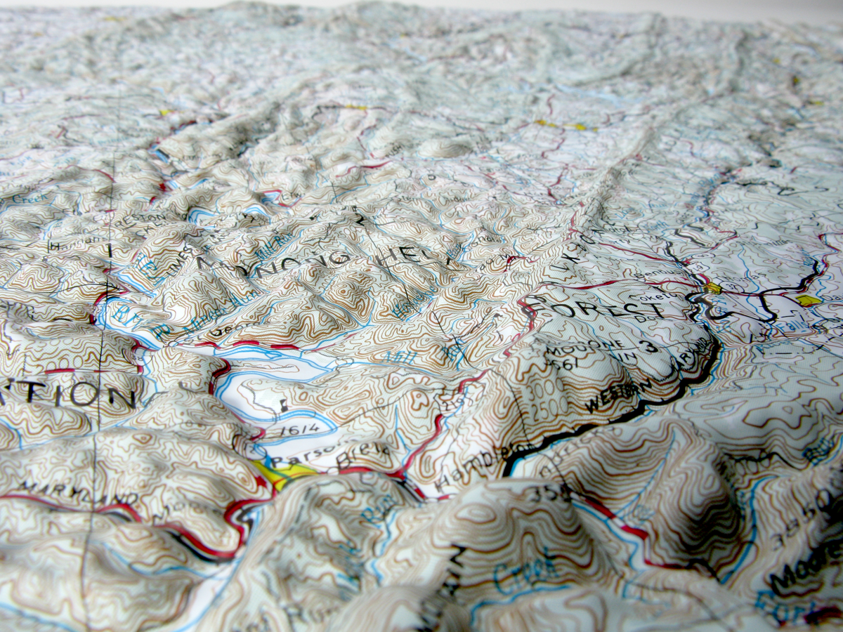
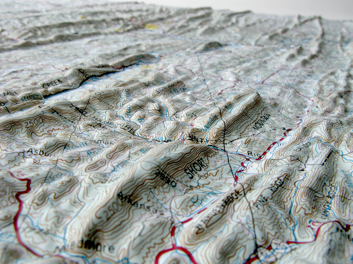
Raised relief three-dimensional maps provide an unique tactile experience to map reading. Touching the maps allow you to truly understand the terrain. For over 30 years as an authorized dealer of these maps, we have placed these maps in schools, offices, real estate offices, rental houses, restaurants, welcome centers and homes. Whether you are using this for education or for decoration, raised relief 3D maps make a perfect gift.
How are these three dimensional raised relief maps made?
Each raised relief map starts as a map printed on a flat sturdy sheet of vinyl. It is carefully registered over a 3D model that is made from USGS digital elevation model data. The vinyl is heated to make it pliable and a vacuum is created to form the map over the model.
Take a look at the process below.
Usually ships in 1-2 Business days.
Product Information
Cumberland USGS Regional Raised Relief Map
Size: 30.75" x 20.1875"
Scale: 1: 250,000 or 1" = 4 Miles
This map covers portions of Maryland, West Virginia and Pennsylvania.
Coverage:
Latitude: 39°-40° North
Longitude: 78°-80° West
Raised relief three-dimensional maps provide an unique tactile experience to map reading. Touching the maps allow you to truly understand the terrain. For over 30 years as an authorized dealer of these maps, we have placed these maps in schools, offices, real estate offices, rental houses, restaurants, welcome centers and homes. Whether you are using this for education or for decoration, raised relief 3D maps make a perfect gift.
How are these three dimensional raised relief maps made?
Each raised relief map starts as a map printed on a flat sturdy sheet of vinyl. It is carefully registered over a 3D model that is made from USGS digital elevation model data. The vinyl is heated to make it pliable and a vacuum is created to form the map over the model.
Take a look at the process below.
Usually ships in 1-2 Business days.
Recommended for You
Choosing a selection results in a full page refresh.