Menu


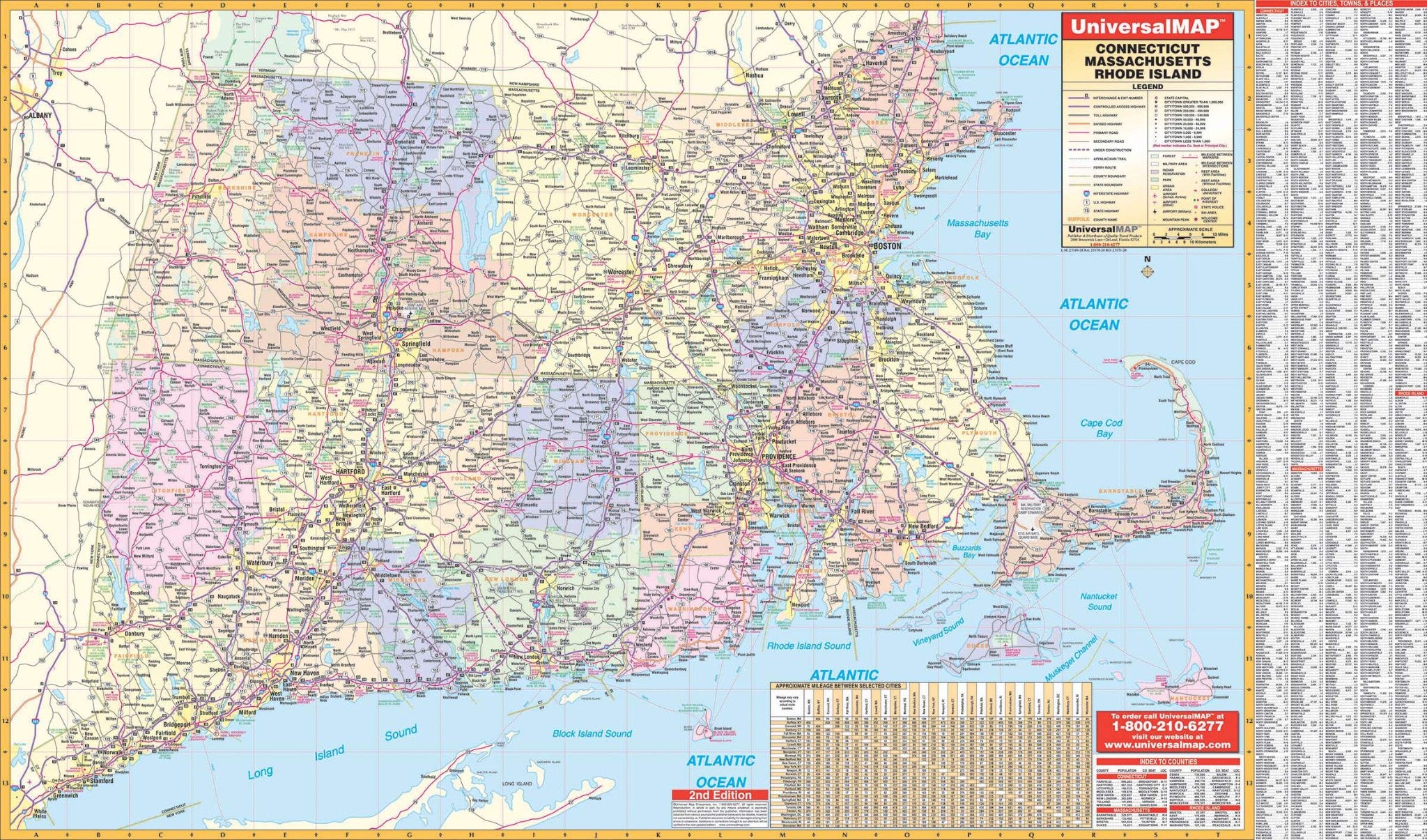
The Wall Map of the Connecticut-Rhode Island-Massachusetts Tri-state Area Wall Map is published by Universal Map. Durably laminated allowing for a markable and washable surface. Measures 66" W x 42" H (5'6" W x 3'6" H).
Indexing appears on the face of the map.
Data, details, and information include all state and federal highways, military installations, major airports, state parks, cities and towns, state universities, wild life areas, and points of interest.
Map is available with the following options:
Year: 2006
2nd Edition
