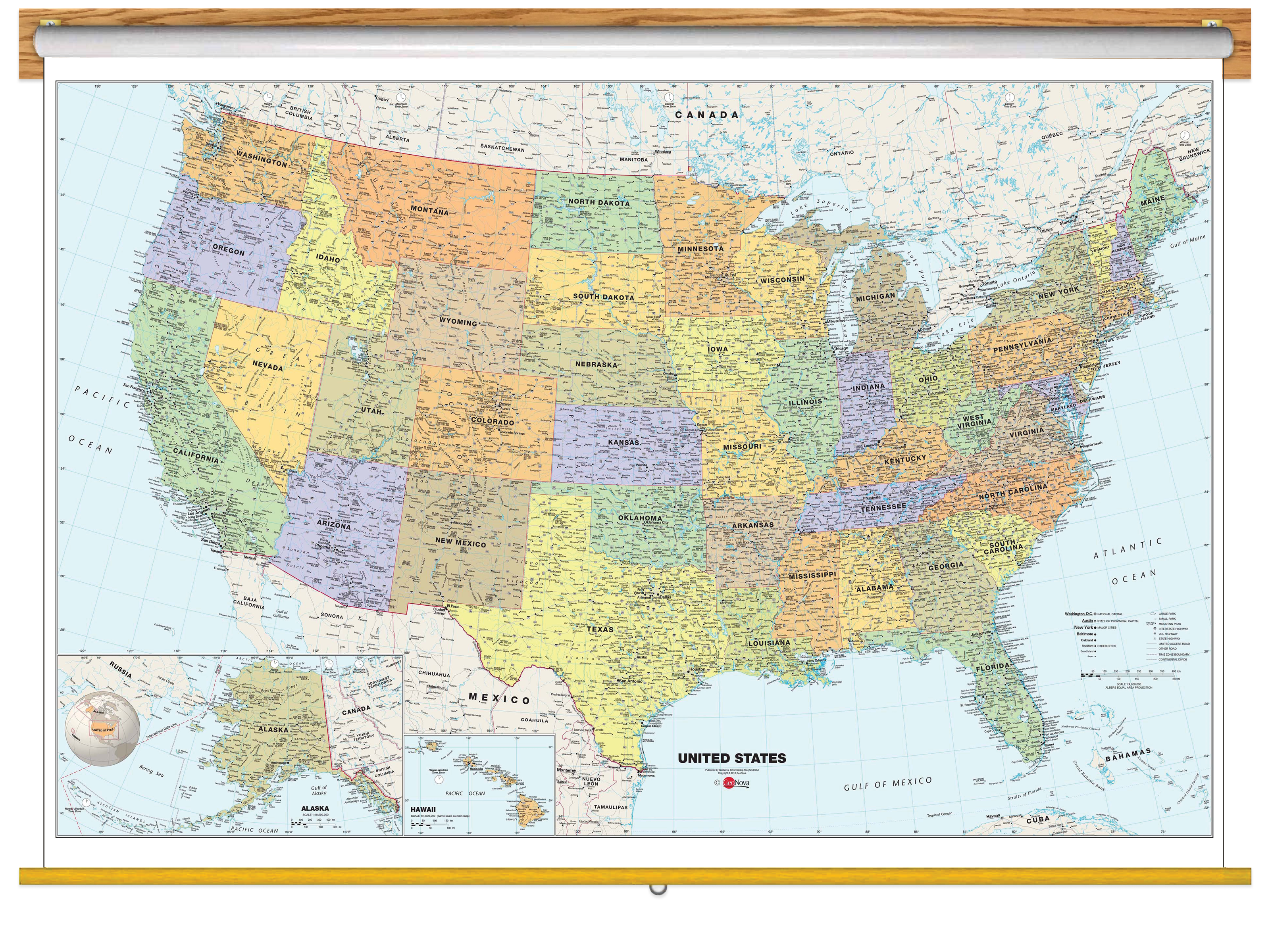
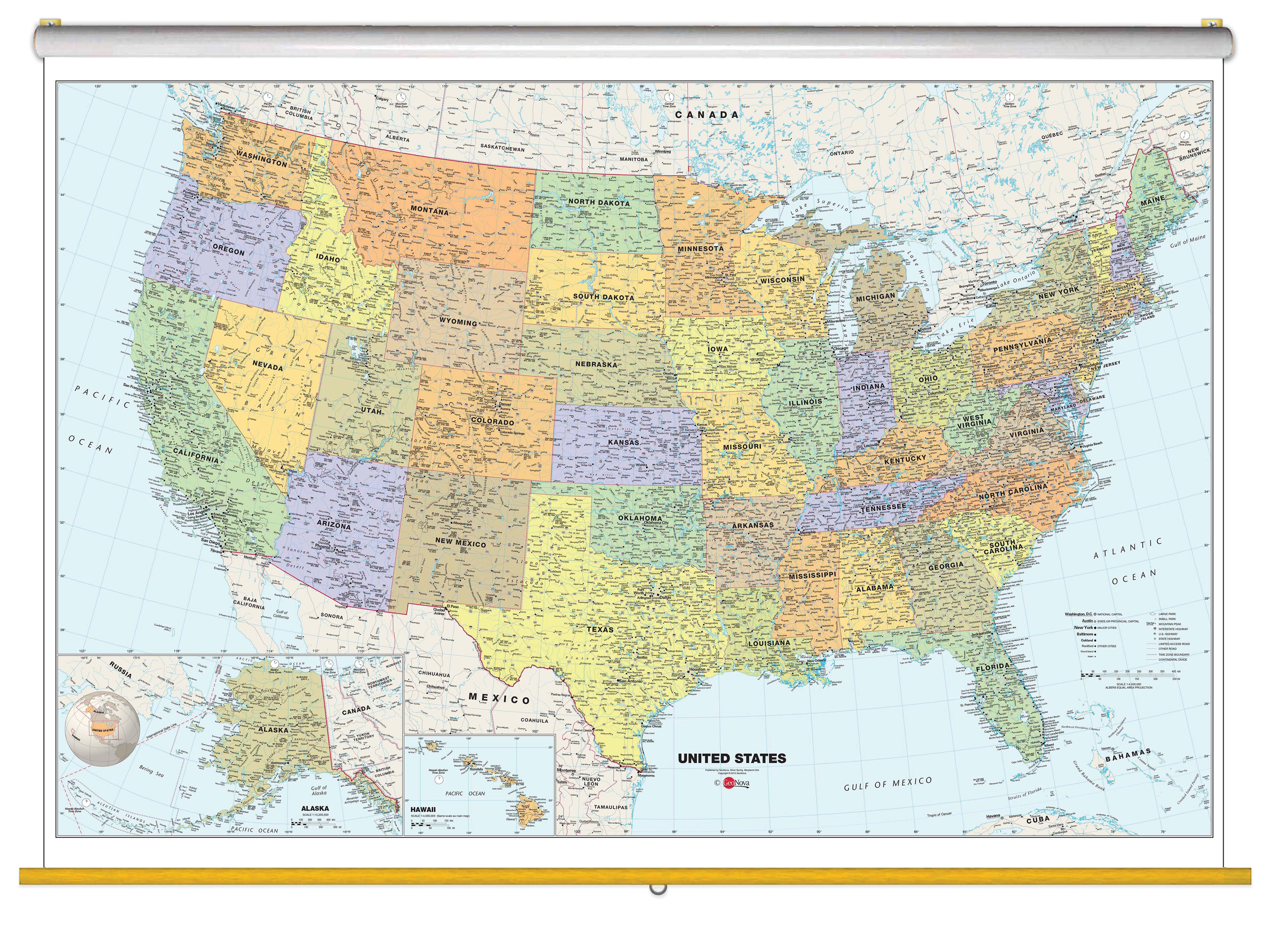
Perfect for education, this Classic USA Wall Map Classroom Pull Down combines warm, attractive colors with high-detailed cartography. Details on this United States Wall Map for schools include: state boundaries and capitals along with other major cities and towns; major physical features such as mountain ranges and major mountain peaks; major water features such as oceans, seas, gulfs, and rivers; the Interstate highway system and other major roads; and all National Parks as well as other large National Park Service sites.
Special features include traditional, blue-colored oceans and a white decorative border. This classroom map of the United States uses the Albers Equal Area projection.
The Wall Map of Classic USA Classroom Pull Down is printed on 24lb. premium coated bond paper. It is also laminated on both sides using 3mm hot lamination, which protects your classroom wall map and allows you to write on it with dry-erase markers. This laminated educational Pull Down Map is mounted to a secure Spring Roller ready to hang on any classroom wall.