Menu


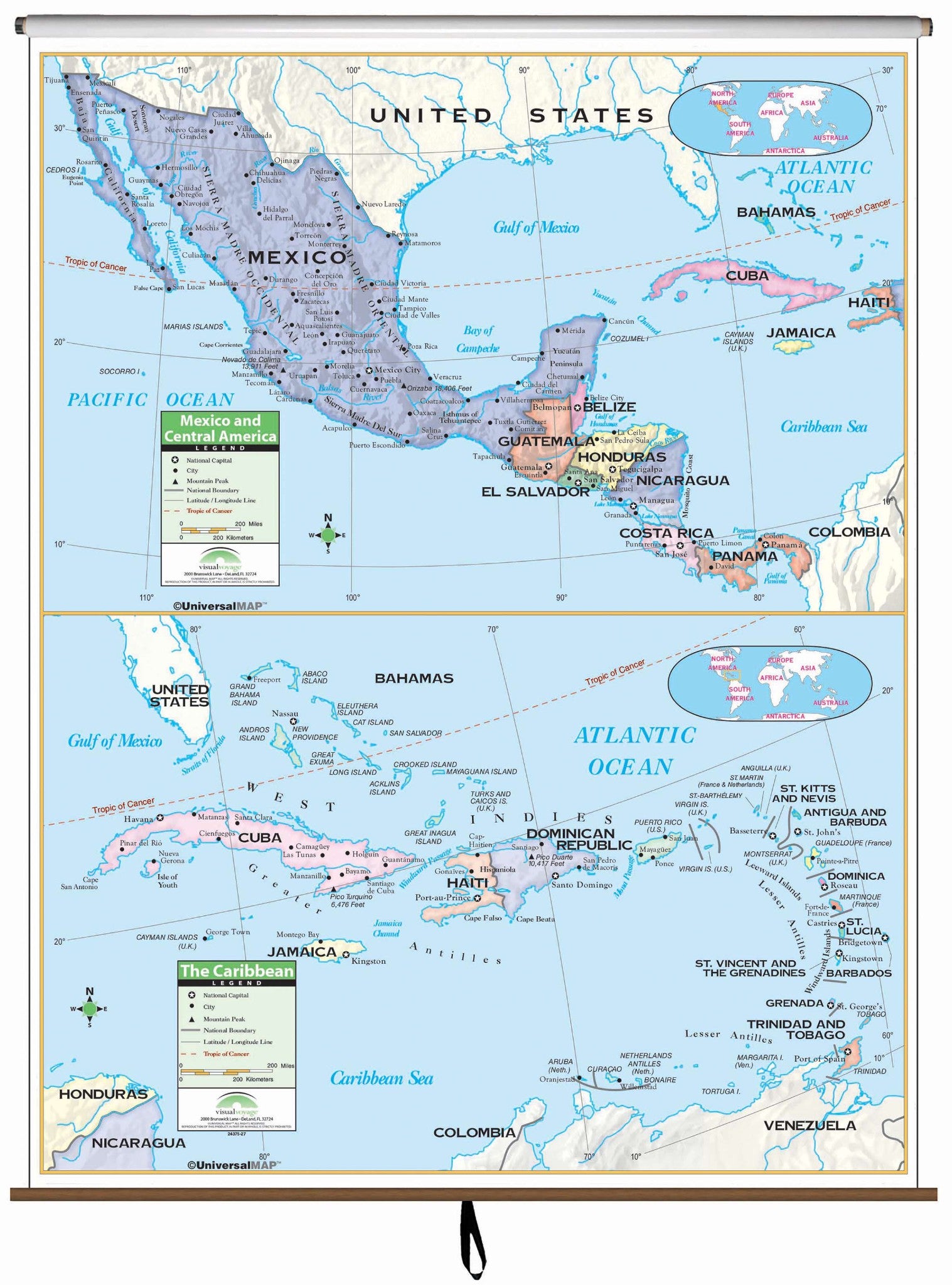
The Central America Primary Classroom Wall Map by Kappa Map Group measures 54" x 69" and covers Central America, Mexico, and the Caribbean. The top portion of the map shows Central America and Mexico while the bottom portion shows the Caribbean.
Produced on a laminated surface that makes the map both markable and washable. Data included are national capitols, national boundaries, the Tropic of Cancer, cities, latitude and longitude lines, color-coded countries, and mountain peaks.
Recommended for grades K-3.
This product is ideal for public, private, parochial, and home schools.
Map is available with the following options:
