Menu


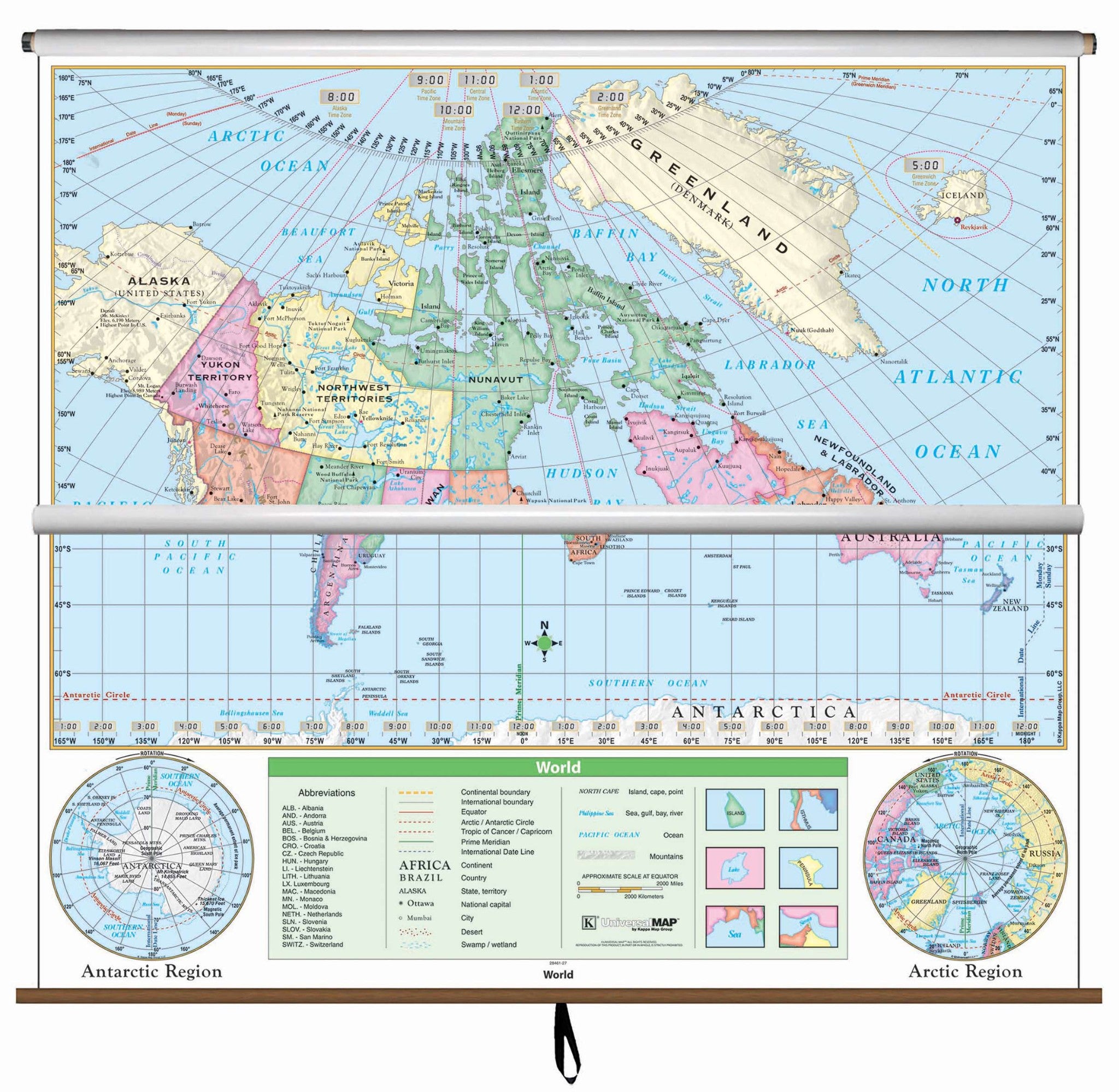
This is one of the most essential maps for classroom and business use. The United States/World Essential Combo Classroom Wall Map from Kappa Map Group features updated, full-color cartography with political boundaries, capitals, major cities and more.
US edition identifies state borders, capitals, time zones and features insets of Alaska, Puerto Rico and Hawaii, along with a physical inset map of the US. Images of all 50 states flags are shown along with a locator map showing the country location in North America. World edition includes special polar projections, national capitals and 193 country flags.
Measures 54" x 64". This product is ideal for public, private, parochial, and home schools. Includes hardware for mounting to wall.
Map is available with the following options:
These maps are printed and finished to order. Please allow 4-6 weeks for delivery.
