Menu


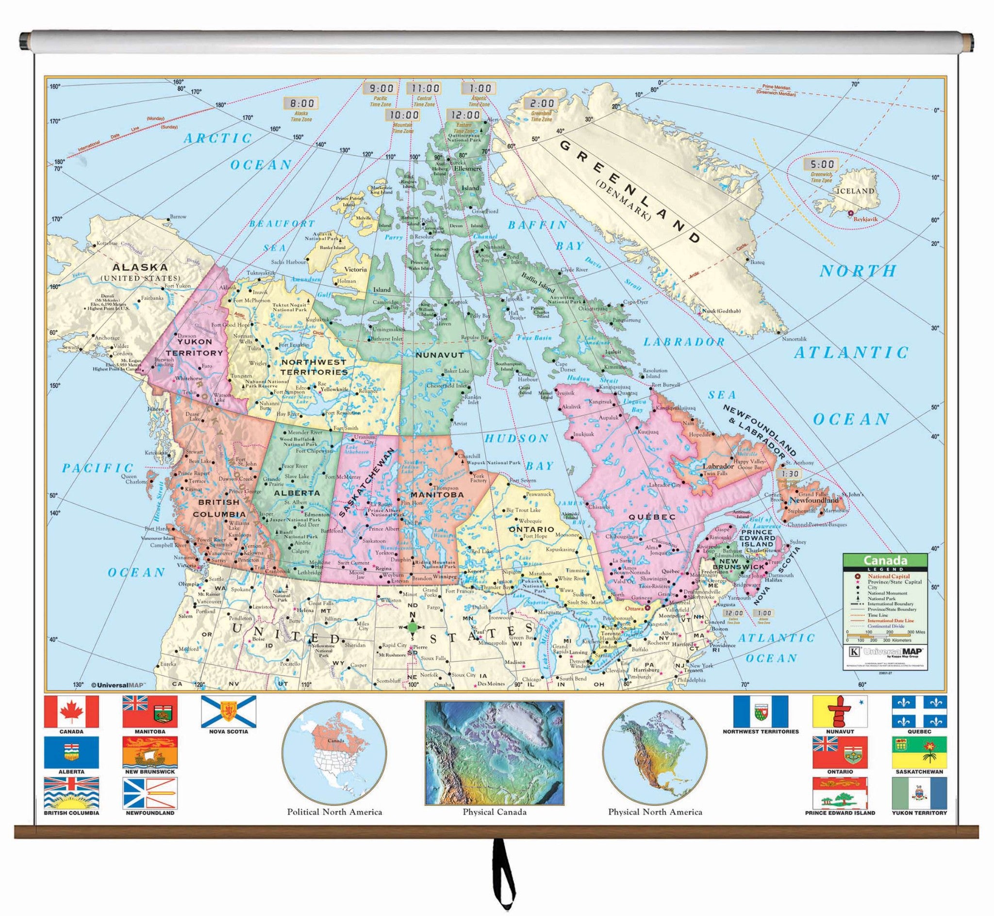
The Canada Primary Wall Map features province flags and North America inset maps. Measures 64" x 54". Multi-colored classroom wall maps help students identify political boundaries and national capitals. Physical landforms are shown in shaded relief. Classroom wall maps have a markable, washable-laminated surface.
Recommended for grades K-3.
This product is ideal for public, private, parochial, and home schools.
Map is available with the following options:
