Menu


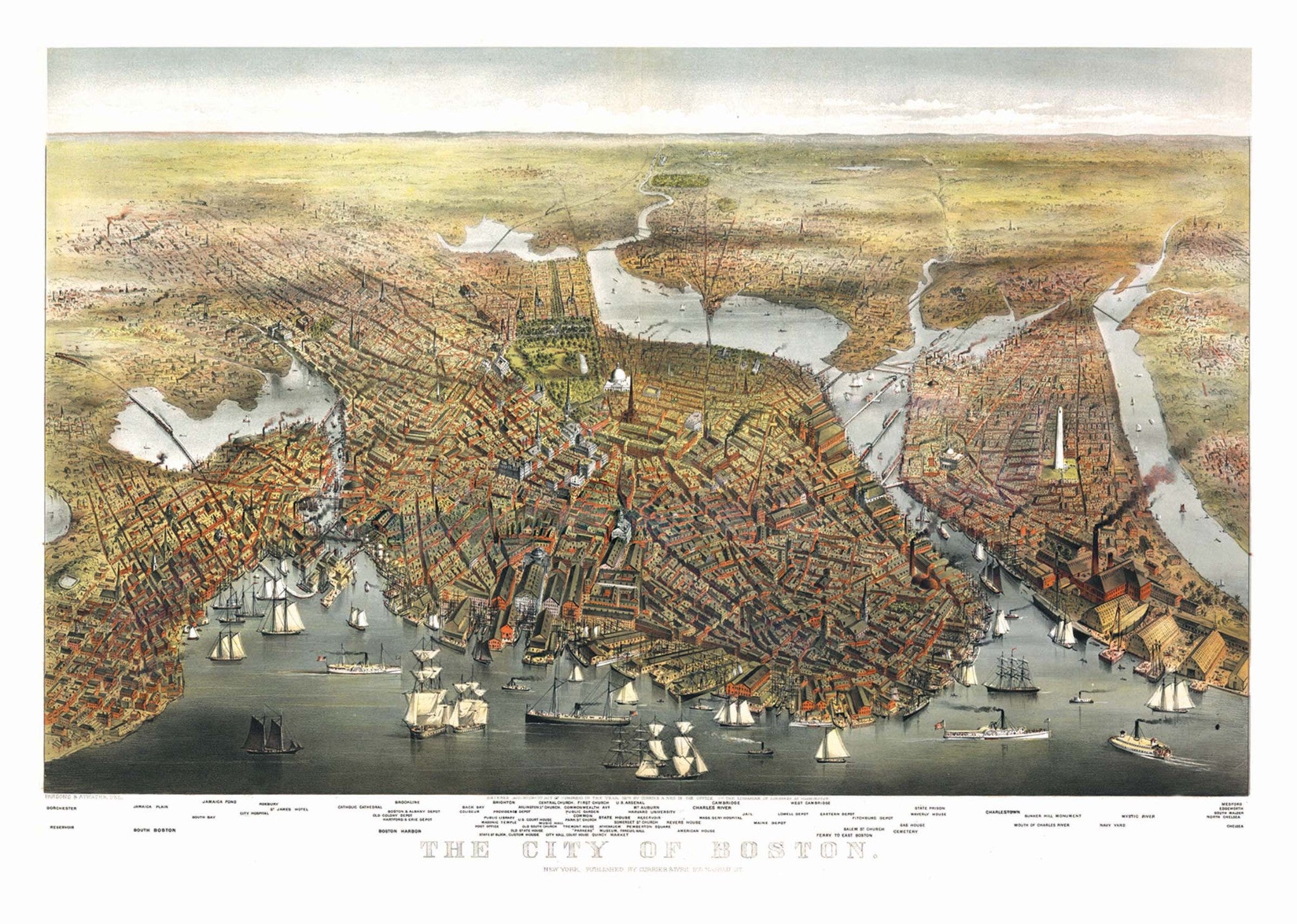
The Boston 1873 Historical Print Mounted Wall Map is a bird"s-eye view of Boston, MA from Currier Ives. Retrieved from the Library of Congress, Geography and Map Division, and digitally restored by Kappa Map Group in 2011.
This beautifully-detailed illustration includes the names of many of the buildings found within the map. Vintage coloring and some untouched imperfections give this modern print a historic feel. This map is laminated, mounted on foamcore and ready to frame. A beautiful addition to any home or office!
40" x 28"
Map is available with the following options:
These maps are printed and finished to order. Please allow 4-6 weeks for delivery.
