Menu


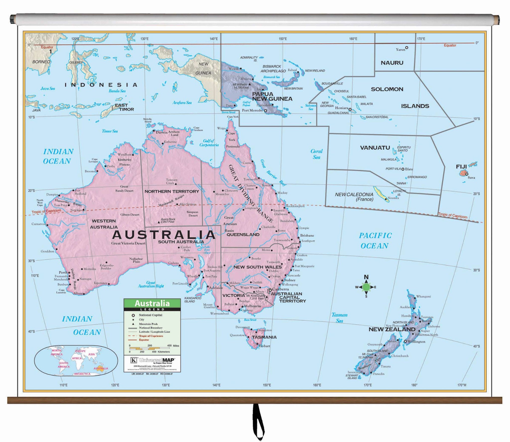
The Australia Wall Map by Kappa Map Group is protected by a laminated surface, which is both markable and washable. The map has color-coded countries and measures 54" by 42".
The map"s area of coverage ranges north to Papua New Guinea, south to the Mediterranean Sea, east to Fiji, and west to the Indian Ocean. Details included are national capitals, national boundaries, the Tropic of Capricorn, cities, mountain peaks, and latitude and longitude lines.
Recommended for grades K-3.
This product is ideal for public, private, parochial, and home schools.
Map is available with the following options:
