Menu


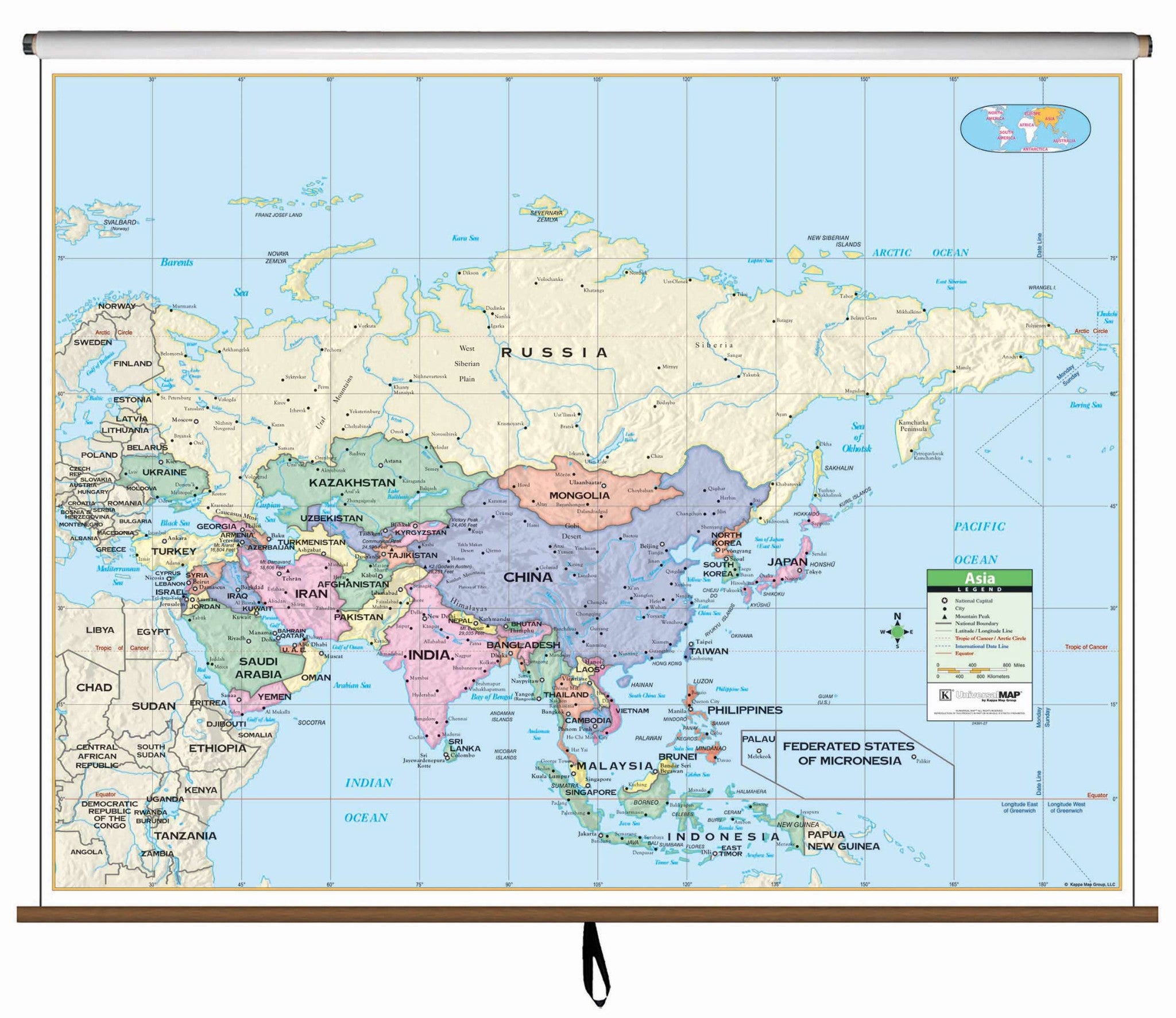
This Asia Primary Classroom Wall Map by Universal Map features laminated surfacing which is markable and washable, color coded countries, and measurements of 54" W x 43" H.
Ranges: North: to the Barents Sea and the Arctic Ocean; South: to Indonesia; East: to the East Bering Sea, Pacific Ocean; West: to Ukraine, Turkey. Details include national capitals, national boundaries, Tropic of Cancer, cities, latitude and longitude lines, Equator, mountain peaks, and the Date Line.
Recommended for grades K-3.
This product is ideal for public, private, parochial, and home schools.
Map is available with the following options:
