Menu


Usually ships in 5-7 business days. Please allow additional 5 business days for framed options.
Maps going west of the Mississippi River:
Maps going east of the Mississippi River:
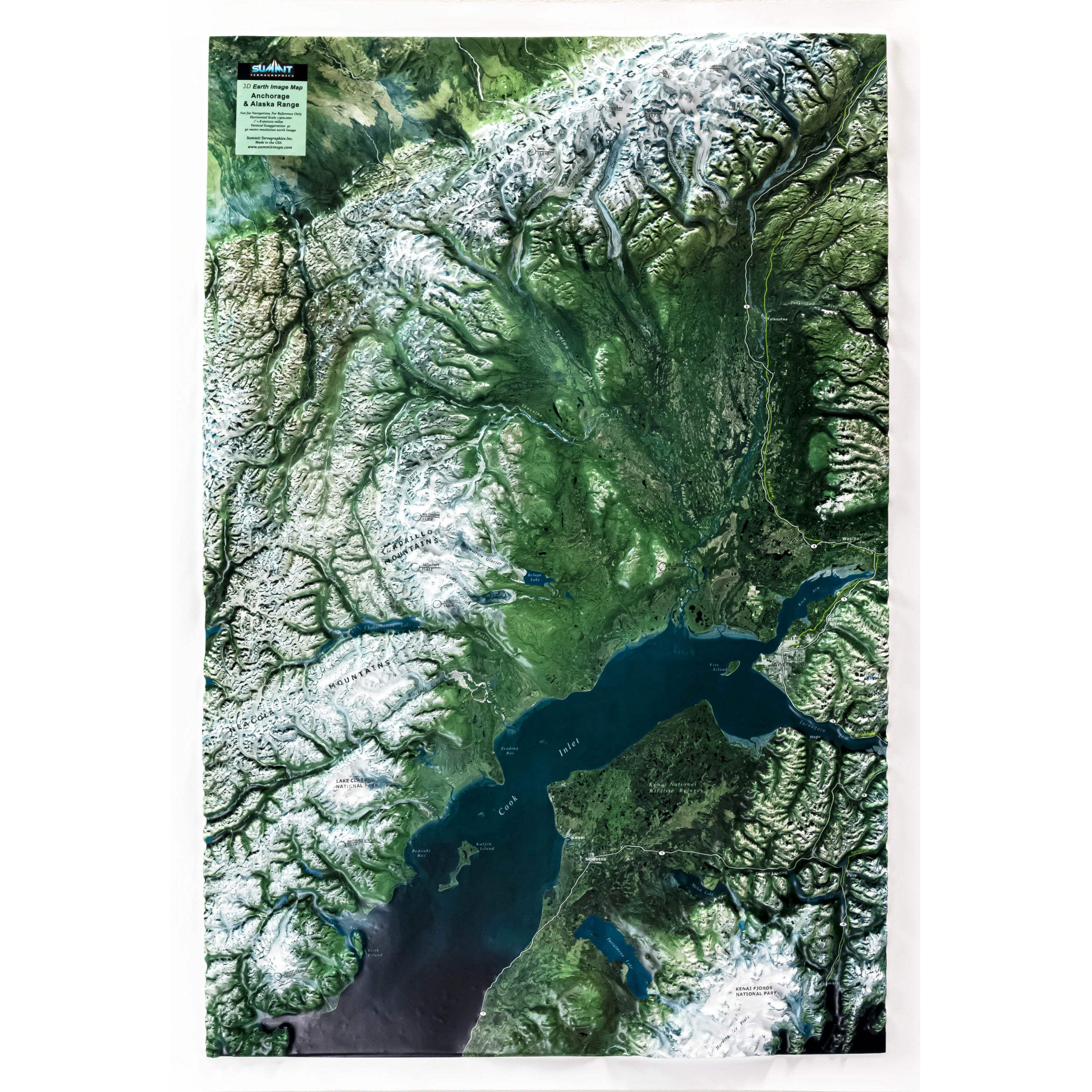
This raised relief wall map -- a companion product to the Anchorage & Alaska Range 3D AeroChart -- covers the area from Seward and Resurrection Bay to Denali and much of the Alaska Range. It models the true terrain shape with accuracy. This map uses satellite imagery along with graphics that identify geophysical features, waterways, and towns. Available unframed–perfect for tacking to a bulletin board or a wall–or fully mounted, framed, and ready to hang in a home, classroom, or office. Frame choices include anodized black aluminum or solid wood (light, natural or dark stained solid oak wood and black aluminum).
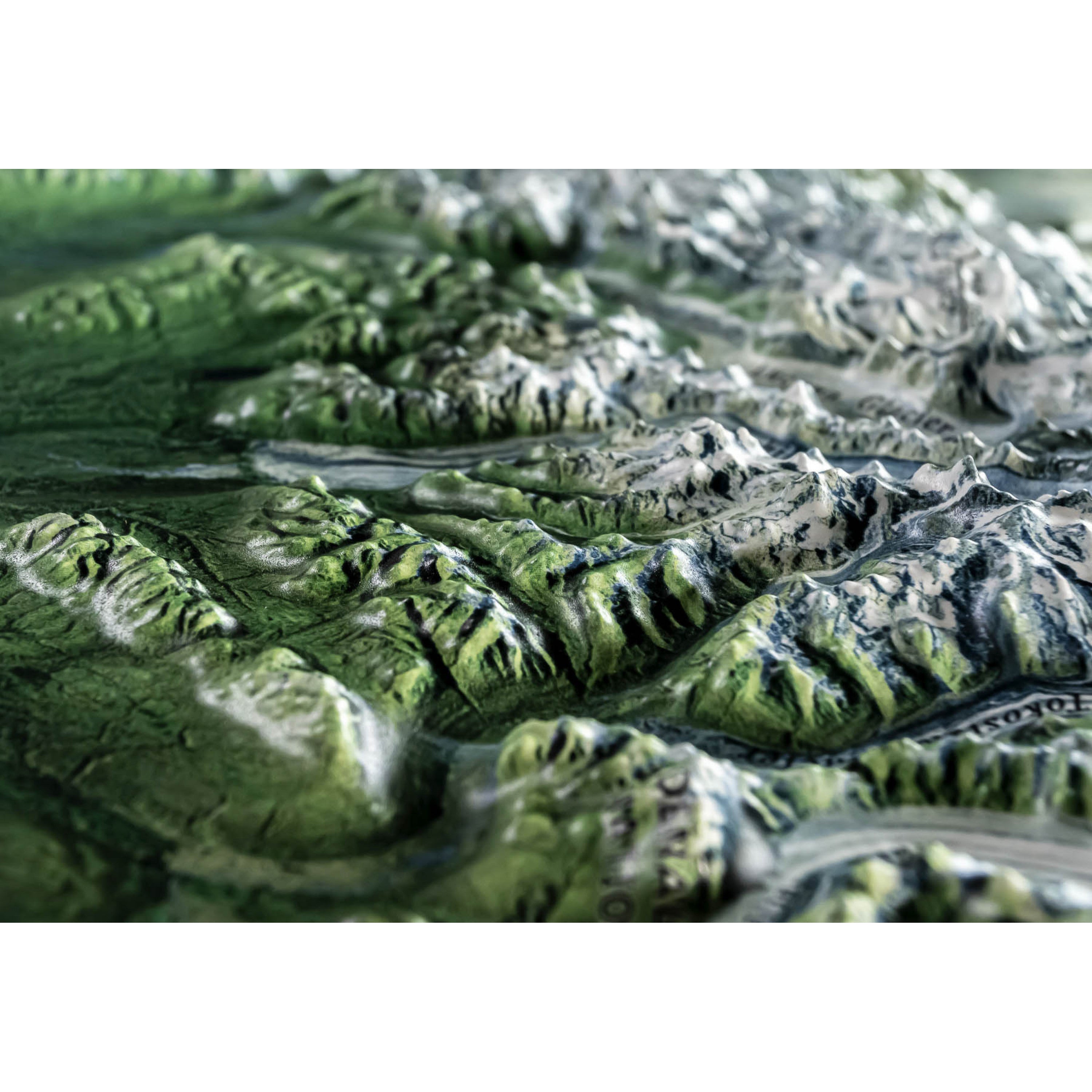
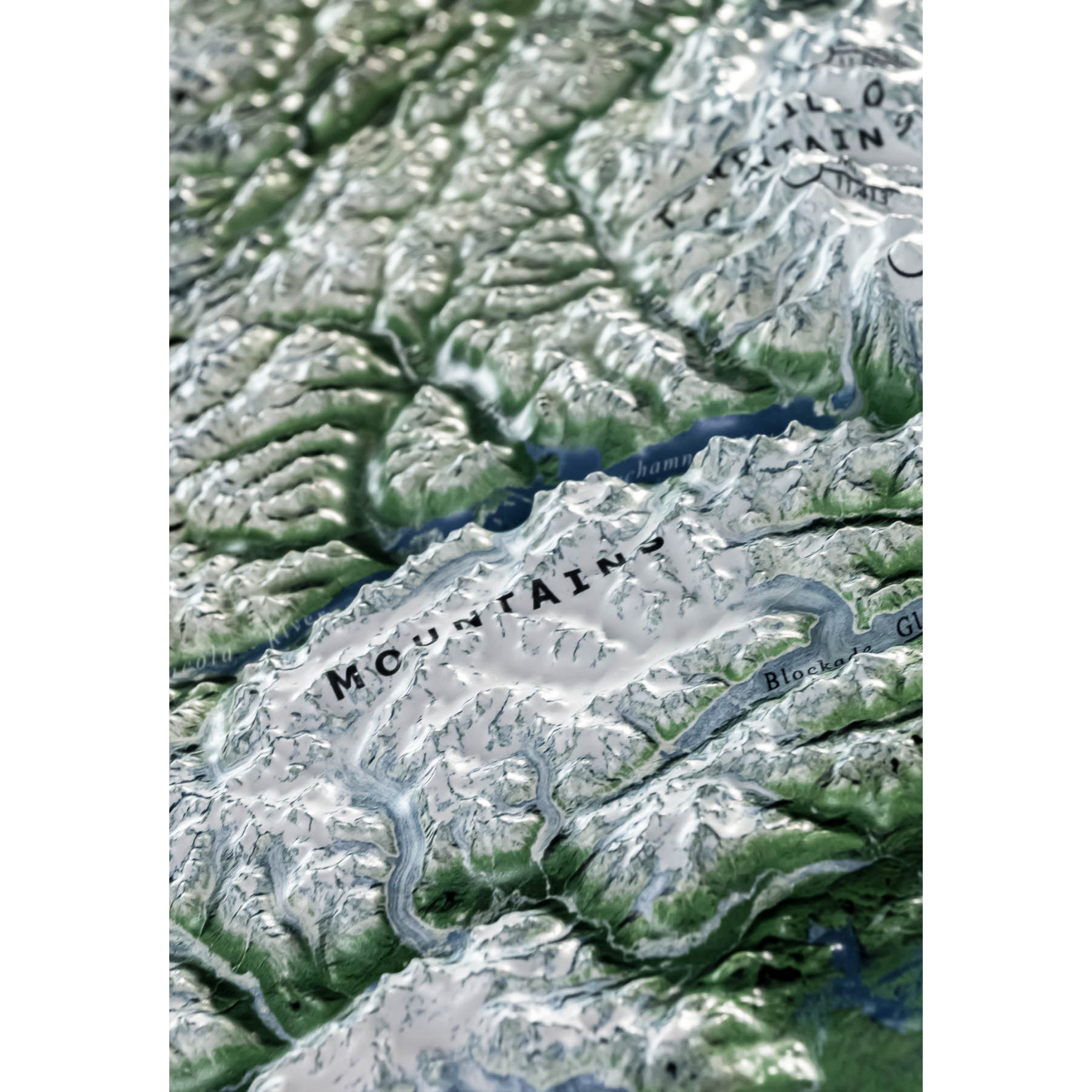
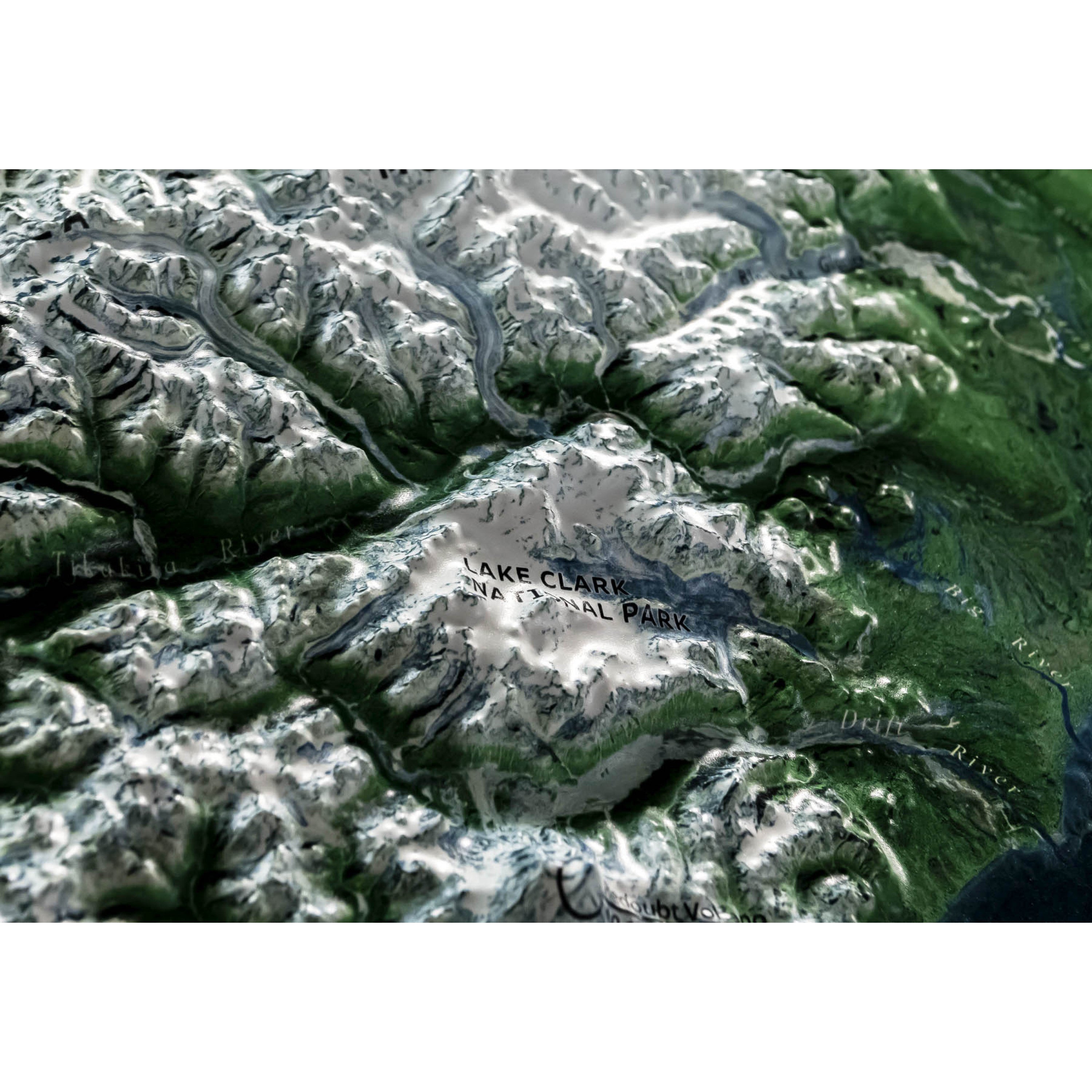
Each raised relief map starts as a map printed on a flat study sheet of vinyl. It is carefully registered over a 3D model that is made from USGS digital elevation model data. The vinyl is heated to make it pliable and a vacuum is created to form the map over the model. Take a look at the process below.

This large map is available fully framed and ready to hang or unframed, perfect for pinning to a bulletin board.
Usually ships in 5-7 business days. Please allow additional 5 business days for framed options.
This raised relief wall map -- a companion product to the Anchorage & Alaska Range 3D AeroChart -- covers the area from Seward and Resurrection Bay to Denali and much of the Alaska Range. It models the true terrain shape with accuracy. This map uses satellite imagery along with graphics that identify geophysical features, waterways, and towns. Available unframed–perfect for tacking to a bulletin board or a wall–or fully mounted, framed, and ready to hang in a home, classroom, or office. Frame choices include anodized black aluminum or solid wood (light, natural or dark stained solid oak wood and black aluminum).
Each raised relief map starts as a map printed on a flat study sheet of vinyl. It is carefully registered over a 3D model that is made from USGS digital elevation model data. The vinyl is heated to make it pliable and a vacuum is created to form the map over the model. Take a look at the process below.

This large map is available fully framed and ready to hang or unframed, perfect for pinning to a bulletin board.
Usually ships in 5-7 business days. Please allow additional 5 business days for framed options.
