Menu


Usually ships in 2-3 business days.
NOAA's Tide Tables and Tidal Current tables are used by mariners for navigation. These tables meet U.S. Coast Guard requirements for passenger vessels navigating in waters of the United States.
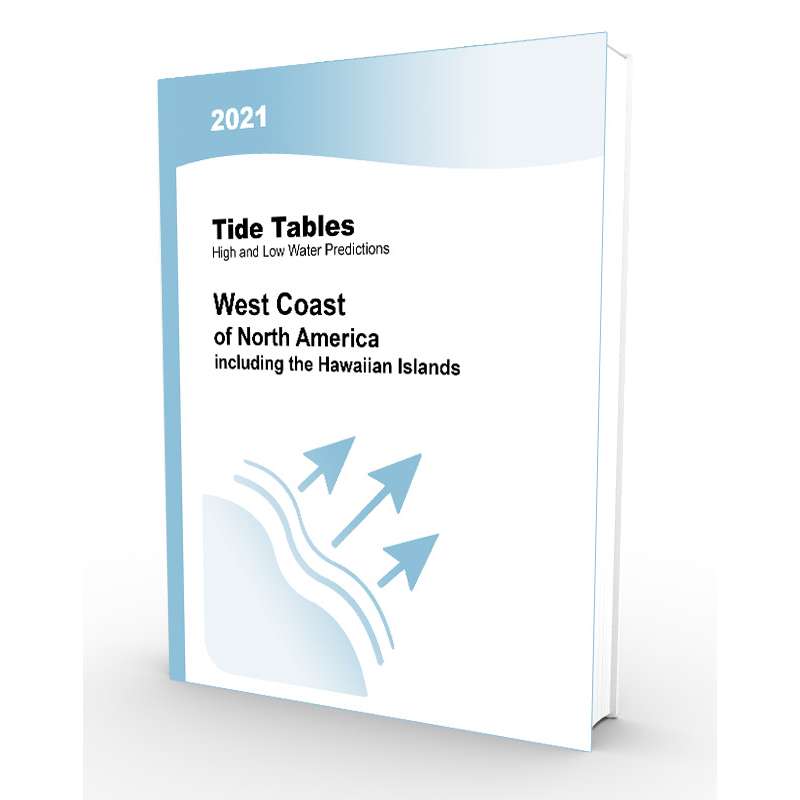
Daily High and Low Water Predictions for 270 reference ports and 6,530 stations, providing worldwide coverage are available in 4 different volumes, covering the East Coast of North and South America including Greenland, West Coast of North and South America Including the Hawaiian Islands.
Predicted times of slack water and the predicted times and speeds of maximum current (flood and ebb) for each day of the year at numerous stations are available in volumes in Tidal Current Tables on the Atlantic and Pacific coasts of North America and Asia.
NOAA tide predictions are used by both commercial and recreational mariners for safe navigation. Printed tide tables provide users with tide and tidal current predictions in an easy-to-read format for particular locations.
In 2020, NOAA announced that it will eliminate paper publications of the annual Tide Tables and Tidal Current Tables beginning in 2021. In order to provide a similar printed resource for those who prefer a physical copy, Paradise Cay Publications has prepared this edition, which is designed to emulate the format and content of the official NOAA tide table books as closely as possible.
Some significant exceptions are indicated in the introduction to the book. This edition does NOT fulfill any carriage requirements. It does, however, contain the official tidal data from the NOAA site as of the time of printing.
