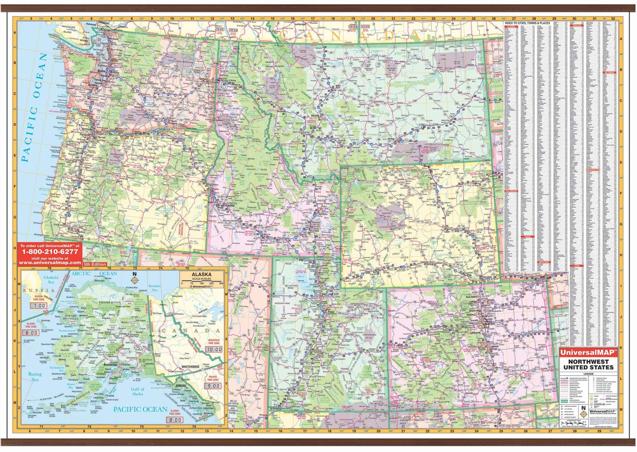
The Wall Map of the North Western United States published by Kappa Map Group measures 65" W x 46" H at a scale of 1" = approximately 23 miles. Llaminated surface that is both markable and washable. Indexing is on the face of the map.
The area of coverage includes the following states: Alaska, Colorado, Idaho, Montana, Oregon, Utah, Washington, and Wyoming. The boundaries are as follows: North: includes Vancouver, British Columbia, and Radville, Saskatchewan; South: includes Overton, NV to the panhandle of Oklahoma; East: includes Radville, Saskatchewan to the panhandle of Oklahoma; West: to the Pacific Ocean. Includes an inset of Alaska.
Map details: state highways, interstate highways, freeways, rivers/lakes, national forests, mountain ranges, cities/towns, state lines, time zones, and longitude/latitude lines.
Map is available with the following options:
-
Laminated:Laminated for protection on both sides. Use wet erase markers to write on wipe off.
-
Railed:Black plastic framing rails are added on the top and bottom of your Laminated map for easy wall mounting.
-
Spring roller:A Spring roller is applied to a Laminated map to turn it into a pull down map.
-
Spring roller/Backboard:Laminated map is attached to spring roller and we provide backboard and all components to mount map on wall.
Year: 2009
5th Edition