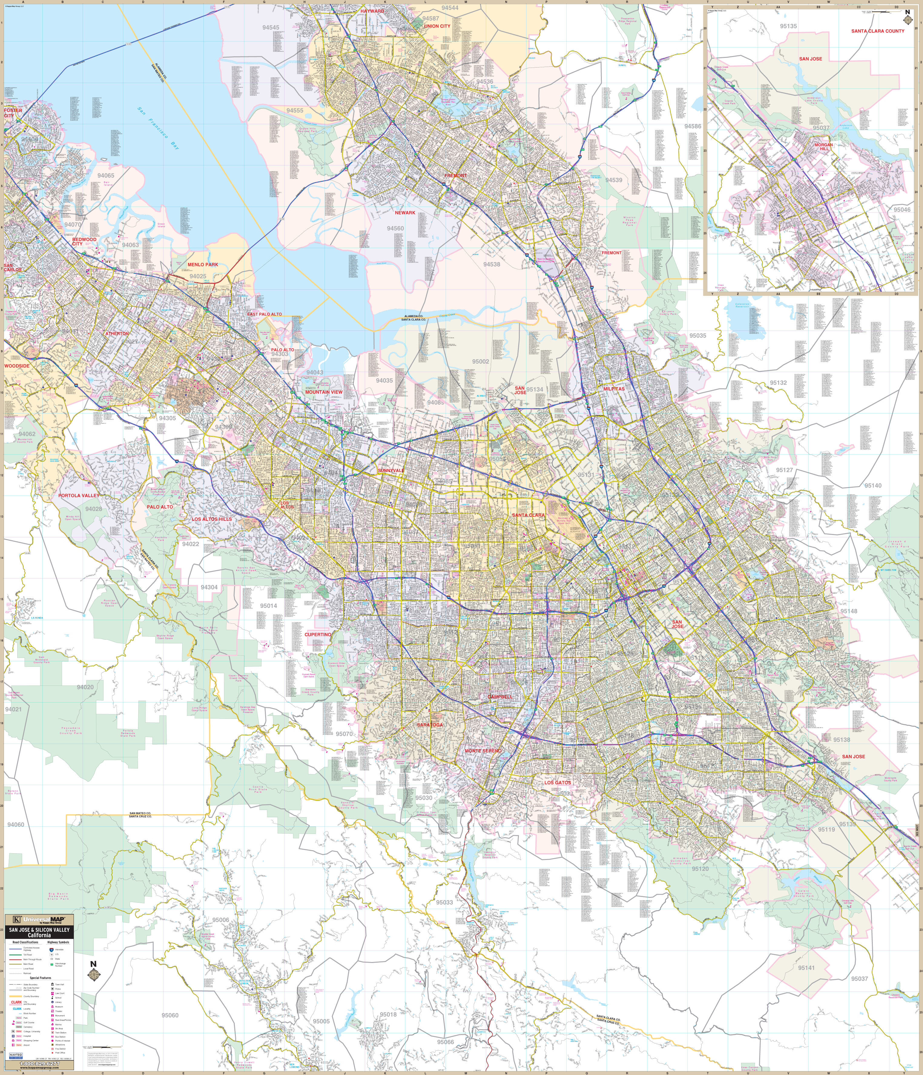
The San Jose / Silicon Valley, California Wall Map Wall Map by Kappa Map Group measures 58" W x 67" H (4'10" W x 5'7"H) includes up-to-date cartography at a scale of 1"= 2920 feet and is printed in color with a markable and washable laminated surface. Streets are indexed in a separate book.
Details include Airports, All Streets Highways, Block Numbers, Cemeteries, City Limits (color coded), Educational Institutions, Fire Police Stations, Golf Country Clubs, Government Buildings, Hospitals, Libraries, Points of Interest, Post Offices, Railroads, Recreational Parks, Water Features, and ZIP Codes Boundaries.
Coverage includes - North: to Hayward and Union City; South: to the Henry Cowell Redwood Forest State Park; East: to the Joseph D Grant County Park; West: to Woodside includes the community of La Honda. Detailed Inset of the remainder of the City of San Jose and the City of Morgan Hill.
Railed wall maps can be turned into pull down maps on spring rollers for an additional $30.
Year: 2013
Edition: 1st
These maps are printed and finished to order. Please allow 4-6 weeks for delivery.