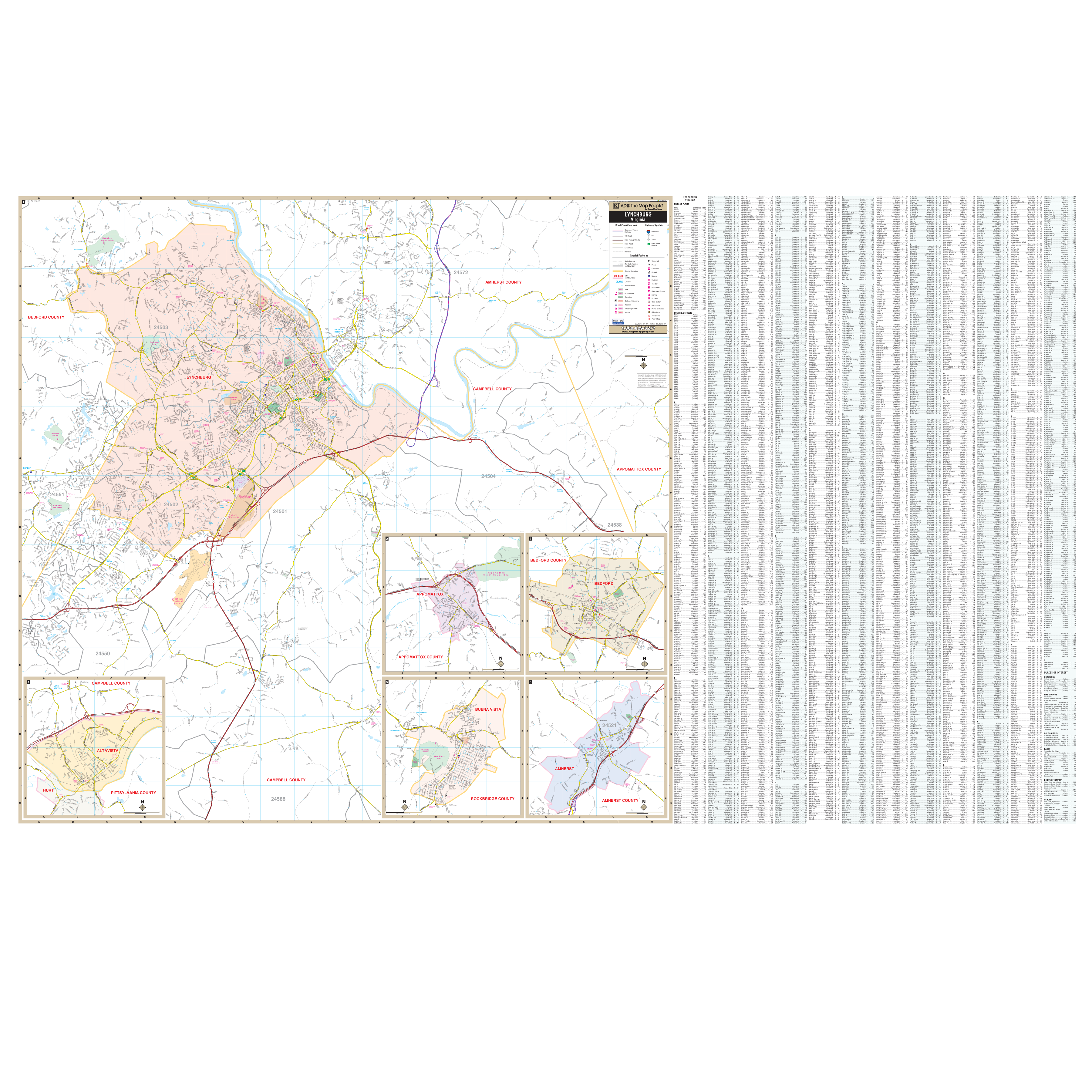
Kappa Map Group is proud to announce the publication or our new Lynchburg, VA Wall Map. Measuring 6'0" x 3'10" (72" x 465"), with up-to-date cartography, including complete street detail; laminated surface that is markable and washable; and street indexing on the face of the map. The area of coverage is all of the City of Lynchburg and the surrounding areas with the following boundaries. North: North of the City limits of Lynchburg and to Prices Store in Amherst County. South: Past the Lynchburg Regional Airport. East: to Stonewall Road in Appomattox County. West: to Forest in Bedford County. insets for this map are as follows: Detailed insets of the Town's of Altavista, Appomattox, Bedford and Amherst and the Independent City of Buena Vista.
Details and features: all streets, hospitals, railroads, airports, cemeteries, shopping centers, water features, recreational parks, governmental buildings, police stations, educational facilities, golf courses and country clubs, ZIP codes and boundaries, points of interest and more.
Framing rails are included on top and bottom for easy wall mounting. Railed wall maps can be turned into pull down maps on spring rollers for an additional $30.
Year: 2013
Edition: 1st
These maps are printed and finished to order. Please allow 4-6 weeks for delivery.