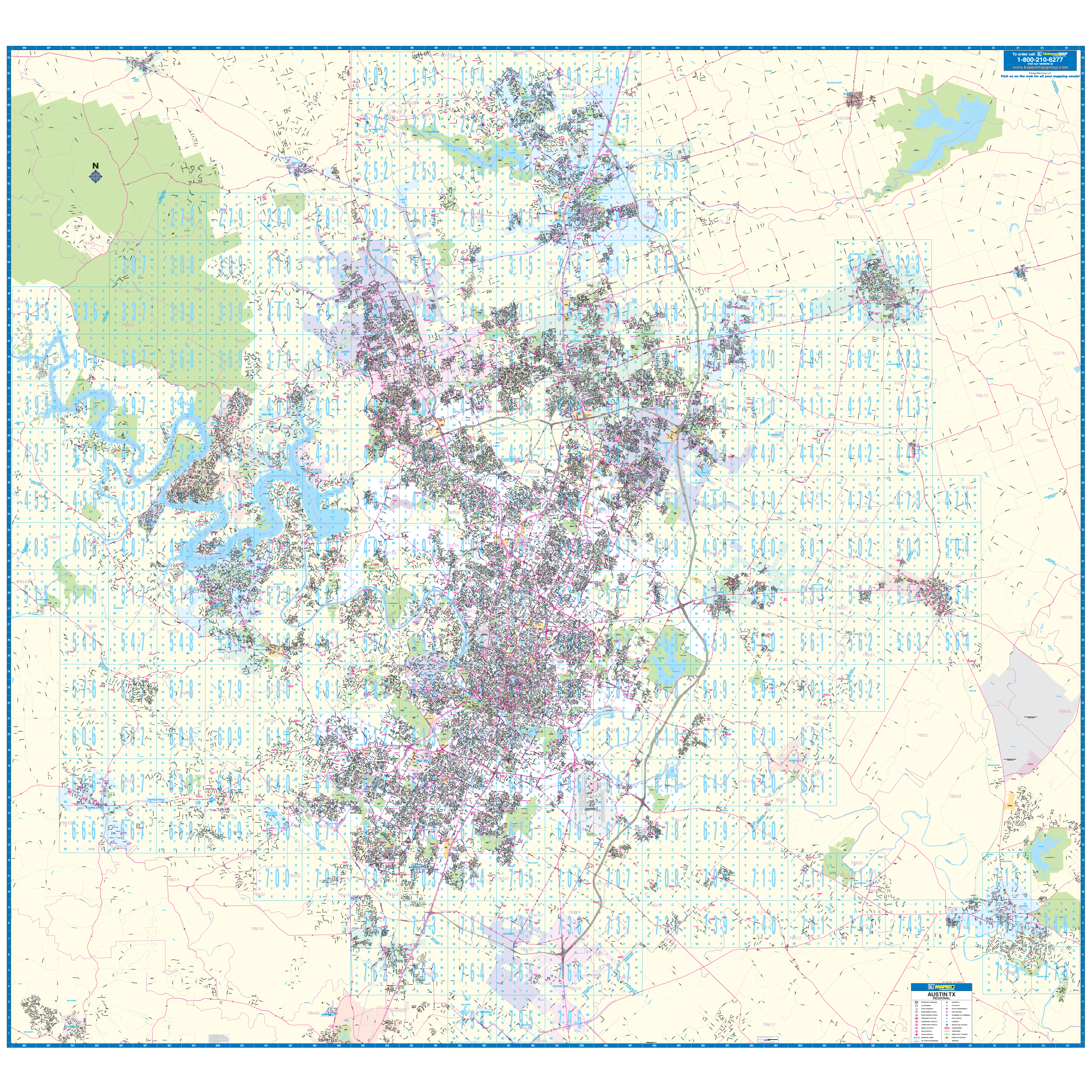
Austin, TX Vicinity Large Wall Map measures 102? x 95? (8'6" x 7'11") in street detail at a scale of 1? = 2,700 feet. Includes up-to-date cartography. Printed in color with a markable/washable?laminated surface. Indexed in a separate book. Hanging rails mounted top and bottom.
The area of coverage includes all of Travis County and adjacent area.
Details include all Streets, Airports, Government buildings, Post Offices, Cemeteries, Fire Police Stations, Hospitals, Shopping Centers, Educational Institutions, Railroads, Water Features, Golf Country Clubs, Mileage Circles, Recreational Parks, ZIP codes/boundaries Block Numbers.
Year: 2011
Edition:
These maps are printed and finished to order. Please allow 4-6 weeks for delivery.