Menu


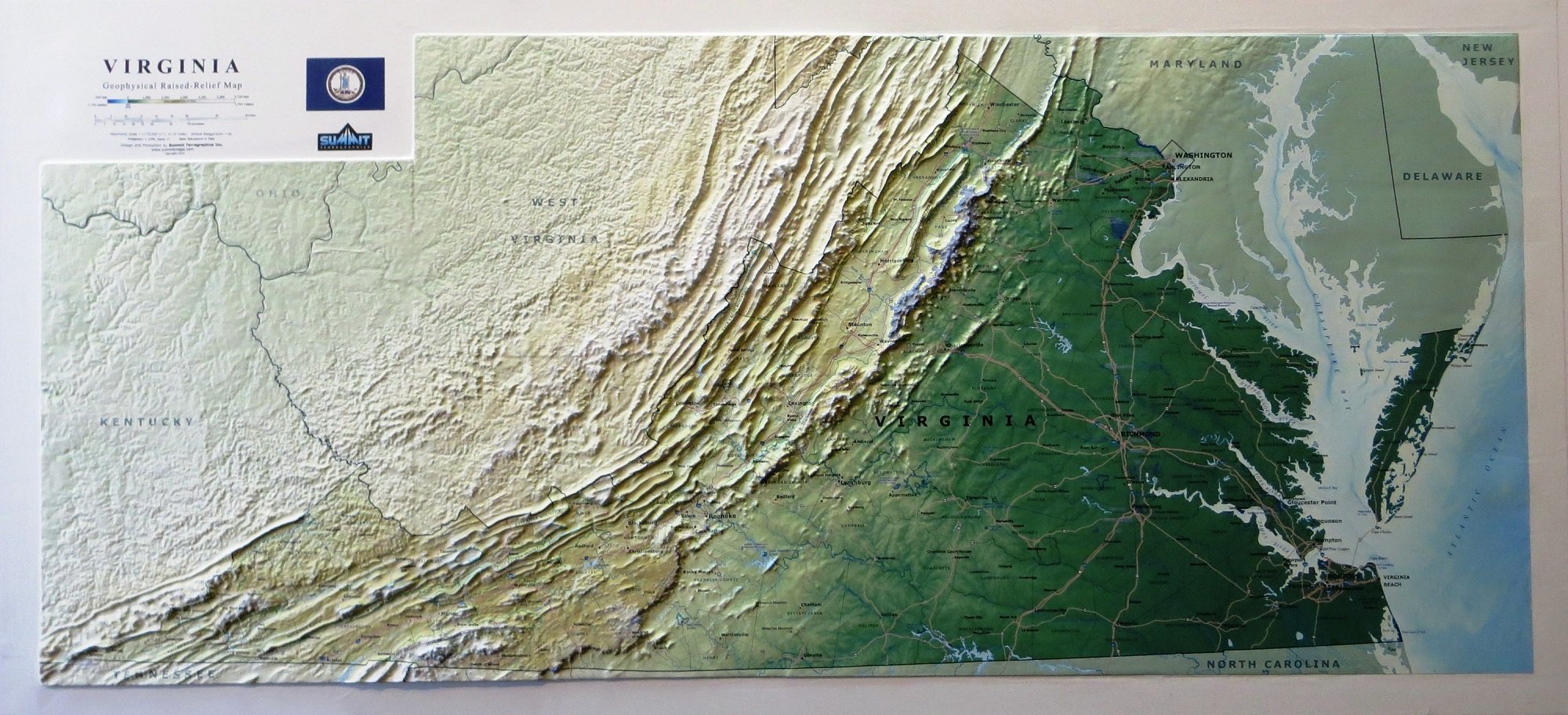
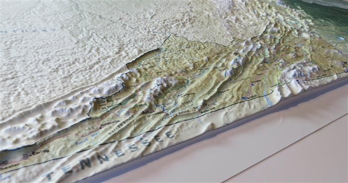
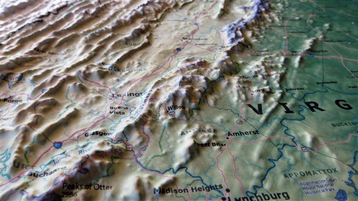
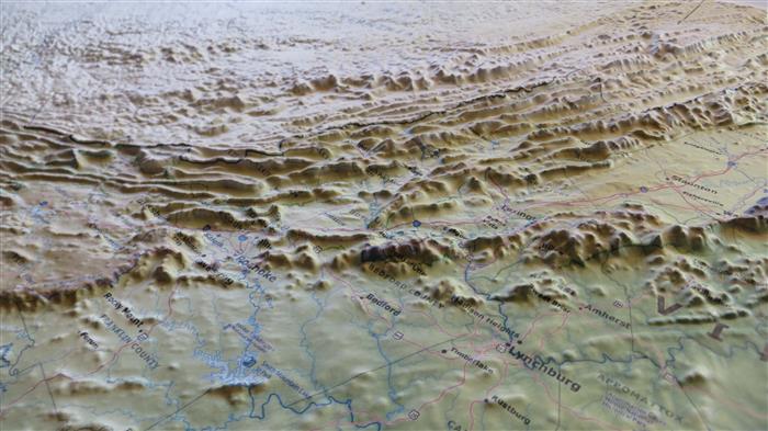
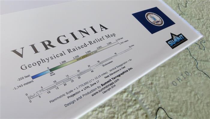
This 3D Virginia Geophysical Raised Relief Map uses a subtle elevation color ramp image to emphasize the changes in elevation across the state. Annotations identify county boundaries, cities, towns, mountains, ridges & valleys, as well as roadways, waterways, and state and national parks. Surrounding states are identified but subdued in order to make Virginia stand out as the theme of this map.
This large map is available in two formats: fully framed and ready to hang in a black anodized aluminum frame (see the additional photos) or unframed, perfect for pinning to a bulletin board.

This large map is available fully framed and ready to hang or unframed, perfect for pinning to a bulletin board.
Usually ships in 5-7 business days. Please allow additional 5 business days for framed options.
This 3D Virginia Geophysical Raised Relief Map uses a subtle elevation color ramp image to emphasize the changes in elevation across the state. Annotations identify county boundaries, cities, towns, mountains, ridges & valleys, as well as roadways, waterways, and state and national parks. Surrounding states are identified but subdued in order to make Virginia stand out as the theme of this map.
This large map is available in two formats: fully framed and ready to hang in a black anodized aluminum frame (see the additional photos) or unframed, perfect for pinning to a bulletin board.
This large map is available fully framed and ready to hang or unframed, perfect for pinning to a bulletin board.
Usually ships in 5-7 business days. Please allow additional 5 business days for framed options.