Menu


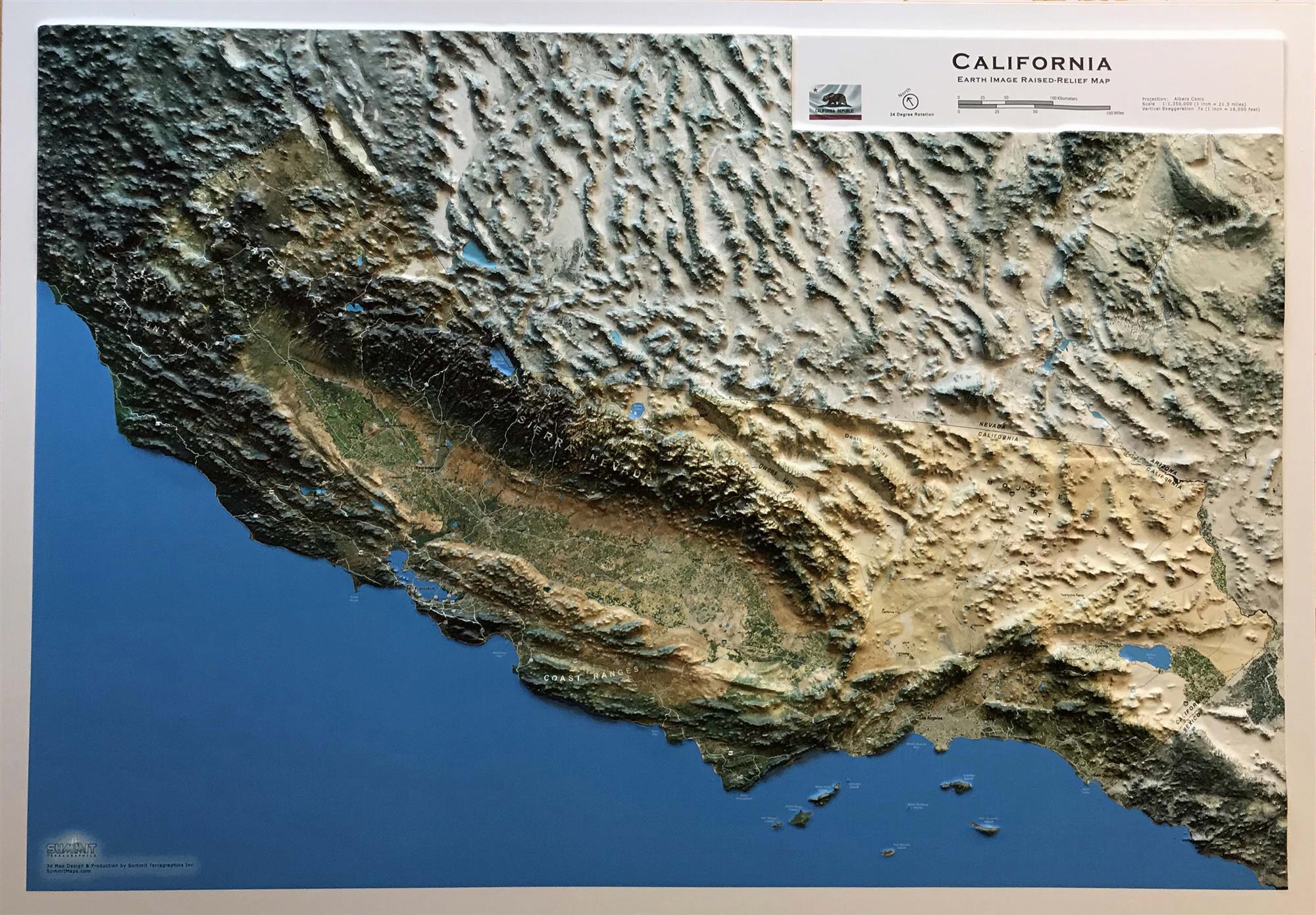
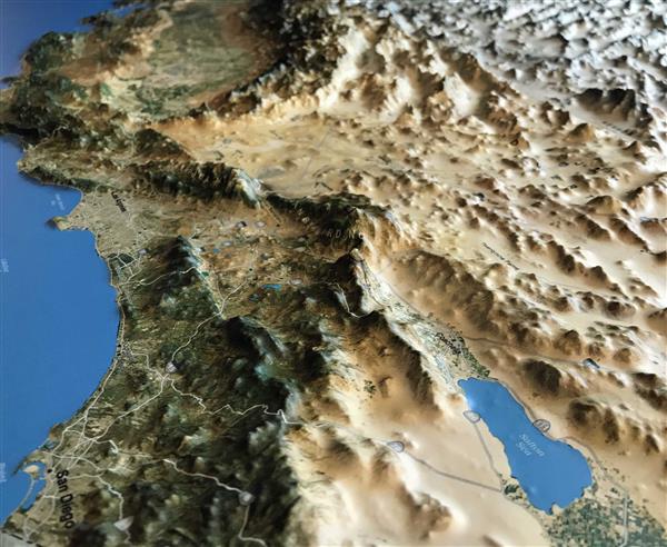
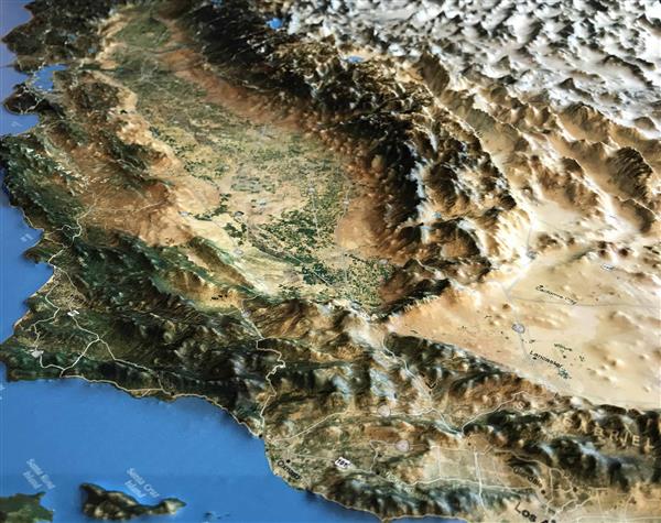
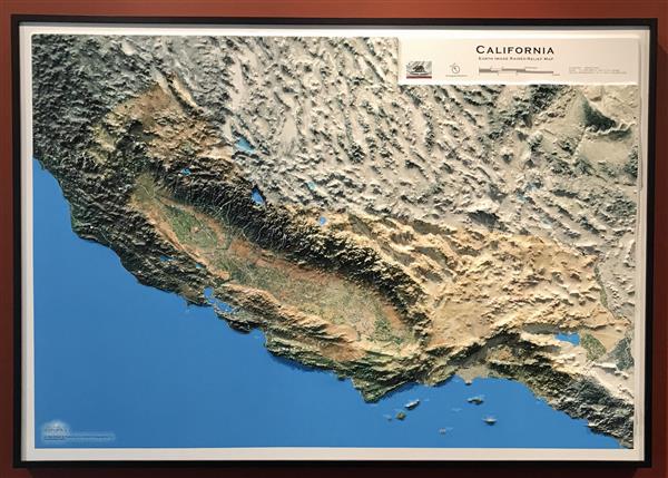
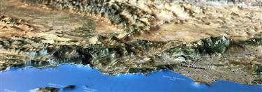
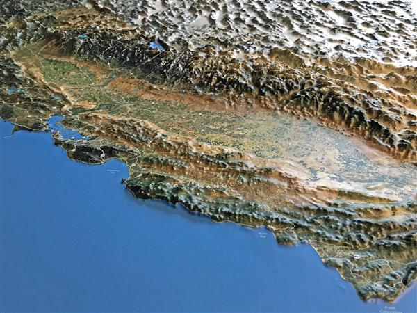
This 40" x 28" earth-image 3D raised relief map of the state of California is carefully molded to replicate the state's varying terrain and uses an enhanced satellite image to highlight geographic elements. The raised relief map has subtly annotated land and water features, key mountain peaks, major highways, and select cities and towns. This map was created with high-resolution modeling, making it the most accurate three dimensional 3D raised relief map of California available today. Portions of bordering states and Mexico are also accurately modeled, without annotations in order to keep the focus on California.

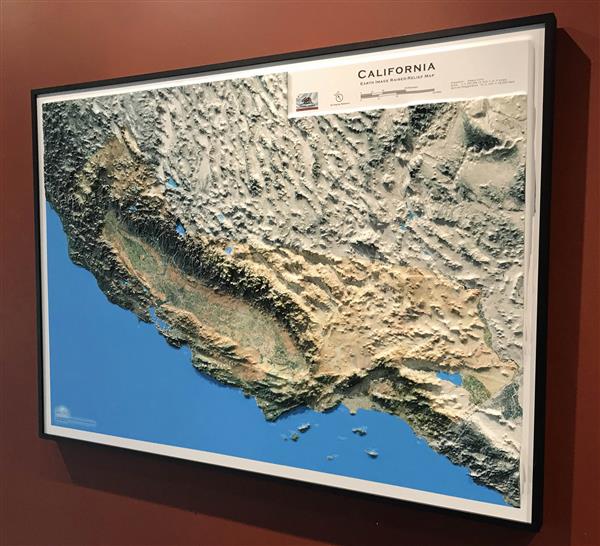
This large map is available fully framed and ready to hang or unframed, perfect for pinning to a bulletin board.
Usually ships in 5-7 business days. Please allow additional 5 business days for framed options.
This 40" x 28" earth-image 3D raised relief map of the state of California is carefully molded to replicate the state's varying terrain and uses an enhanced satellite image to highlight geographic elements. The raised relief map has subtly annotated land and water features, key mountain peaks, major highways, and select cities and towns. This map was created with high-resolution modeling, making it the most accurate three dimensional 3D raised relief map of California available today. Portions of bordering states and Mexico are also accurately modeled, without annotations in order to keep the focus on California.
This large map is available fully framed and ready to hang or unframed, perfect for pinning to a bulletin board.
Usually ships in 5-7 business days. Please allow additional 5 business days for framed options.