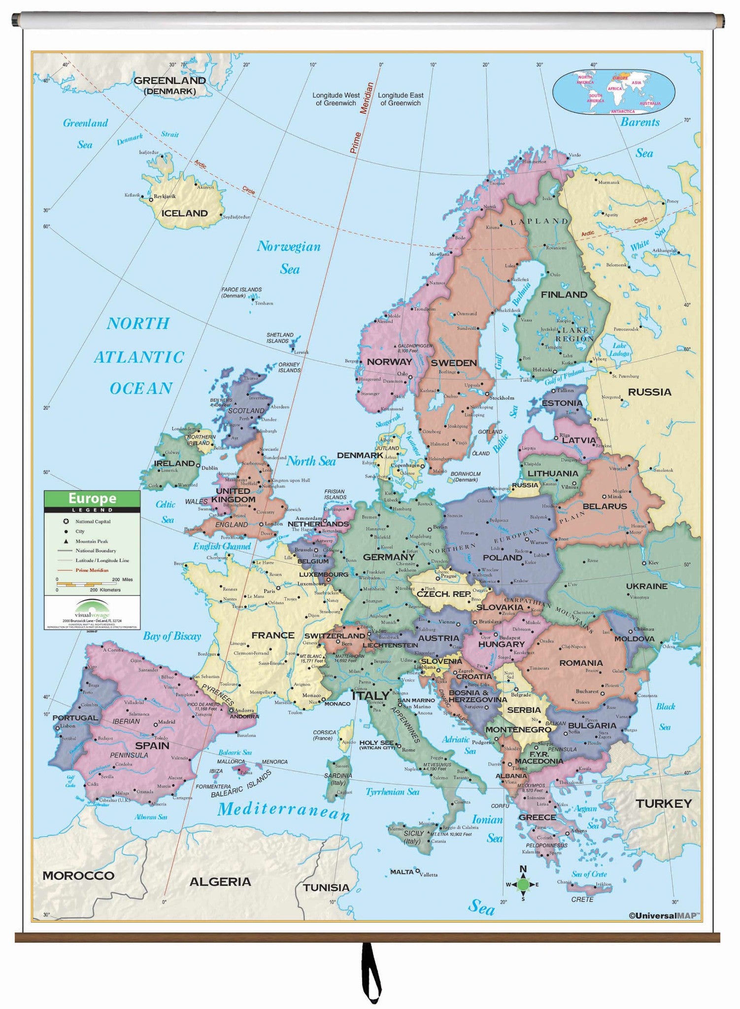
This Primary Classroom Wall Map of Europe by Universal Map features color-coded countries and measure 54" W x 69" H. The laminated surface makes it both markable and washable.
There is an inset map of the world showing the relative position of Europe. The area of coverage runs: North: to Greenland and Denmark Strait; South: to the Mediterranean; East: to Russia and Turkey; West: to the North Atlantic Ocean. Details included with this map are national capitals, national boundaries, the Prime Meridian (Greenwich), cities, mountain peaks, and latitude and longitude lines.
Recommended for grades K-3.
This product is ideal for public, private, parochial, and home schools.
Map is available with the following options:
-
Laminated: Laminated for protection on both sides. Use wet erase markers to write on wipe off.
-
Railed: Black plastic framing rails are added on the top and bottom of your Laminated map for easy wall mounting.
-
Spring roller: A Spring roller is applied to a Laminated map to turn it into a pull down map.
-
Spring roller/Backboard: Laminated map is attached to spring roller and we provide backboard and all components to mount map on wall.