Menu

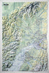
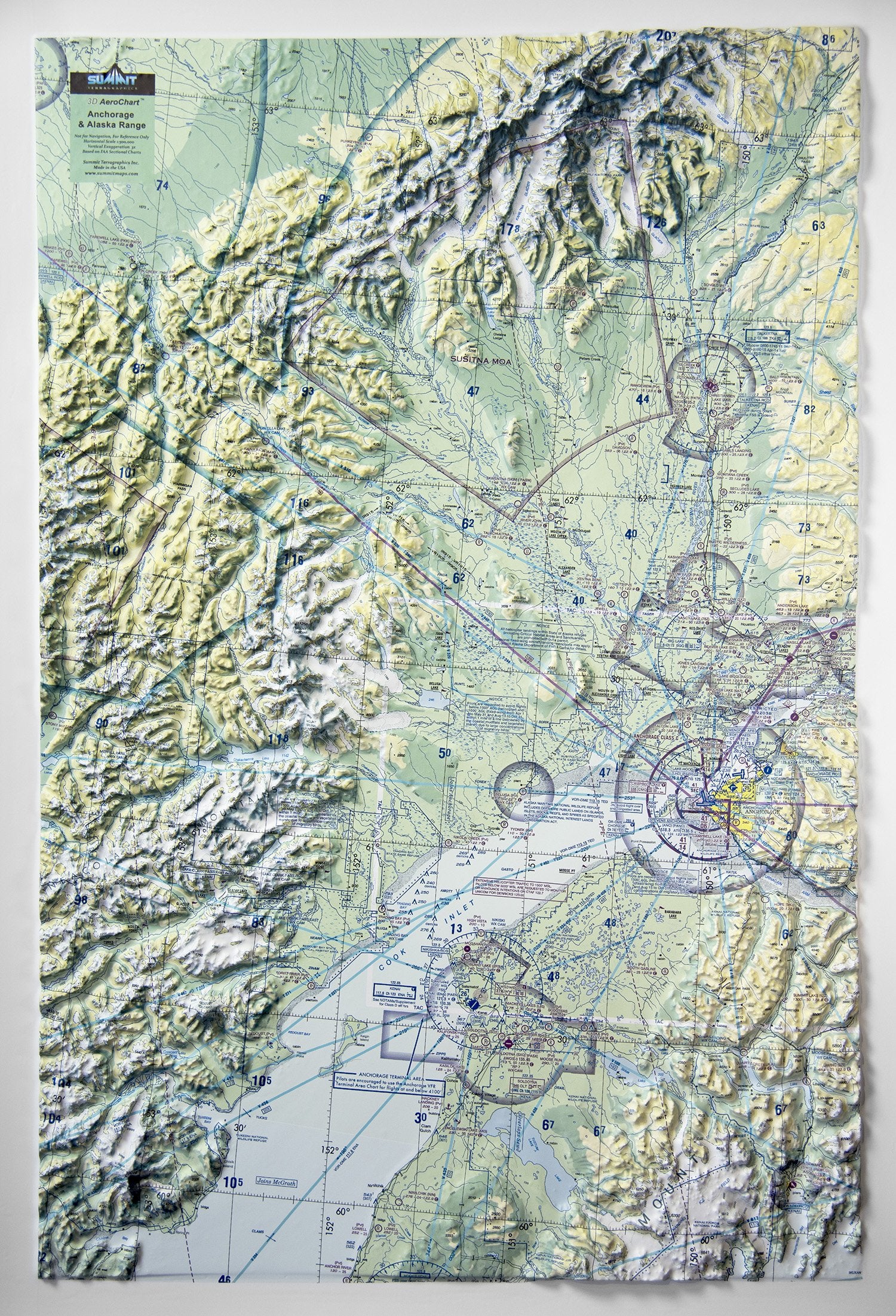
This 3D FAA Sectional aeronautical raised relief wall chart covers the Anchorage and Alaska Range airspace from Seward and Resurrection Bay to Denali and much of the Alaska Range. The precisely molded 3D shape replicates the true terrain shape and combines with FAA markings, making it easy for pilots to see how the topography relates to the airspace and flight. These 3D raised relief AeroCharts are available unframed–perfect for tacking to a bulletin board or a wall–or fully mounted, framed, and ready to hang in a home, hanger, or office. Frame choices include anodized black aluminum or solid wood (golden oak, dark oak, or black-painted wood).

This large map is available fully framed and ready to hang or unframed, perfect for pinning to a bulletin board.
Usually ships in 5-7 business days. Please allow additional 5 business days for framed options.
This 3D FAA Sectional aeronautical raised relief wall chart covers the Anchorage and Alaska Range airspace from Seward and Resurrection Bay to Denali and much of the Alaska Range. The precisely molded 3D shape replicates the true terrain shape and combines with FAA markings, making it easy for pilots to see how the topography relates to the airspace and flight. These 3D raised relief AeroCharts are available unframed–perfect for tacking to a bulletin board or a wall–or fully mounted, framed, and ready to hang in a home, hanger, or office. Frame choices include anodized black aluminum or solid wood (golden oak, dark oak, or black-painted wood).
This large map is available fully framed and ready to hang or unframed, perfect for pinning to a bulletin board.
Usually ships in 5-7 business days. Please allow additional 5 business days for framed options.