Menu


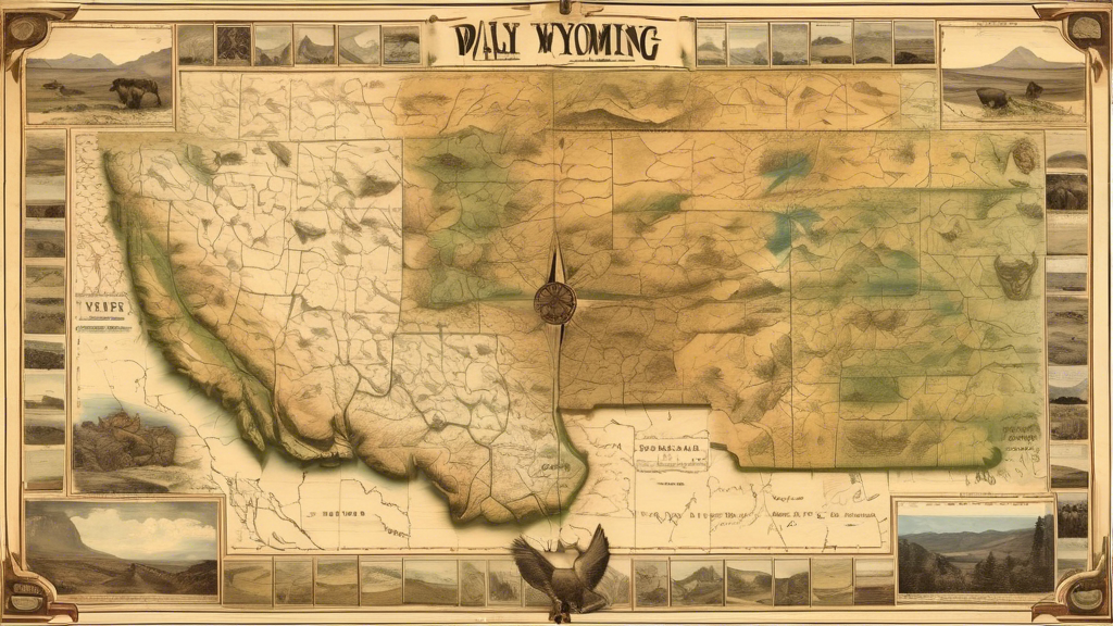
Wyoming, a state that embodies the rugged spirit of the American West, beckons adventurers and map enthusiasts alike. With its diverse topography ranging from soaring mountain peaks to sweeping grasslands, this captivating region offers a cartographic odyssey like no other. Join us as we embark on an expedition through the cartographic treasures that reveal the untamed beauty of Wyoming's landscapes.
No exploration of Wyoming's cartographic wonders would be complete without marveling at the breathtaking depictions of the iconic Teton Range. These jagged, snow-capped peaks have inspired countless mapmakers to capture their grandeur with unparalleled artistry. From detailed topographic maps showcasing the intricate contours and elevations to awe-inspiring panoramic illustrations, the Tetons stand as a testament to the power of cartography to immortalize nature's majesty.
Wyoming's rivers, like the mighty Snake and the legendary Green, hold a special place in the state's cartographic heritage. Tracing their sinuous paths through canyons and valleys, these waterways have guided explorers and settlers for centuries. Maps from various eras depict the evolution of these vital arteries, showcasing the changing course of rivers, the establishment of settlements along their banks, and the enduring allure of their waters.
Wyoming's geological marvels have captured the imagination of cartographers and scientists alike. From the awe-inspiring formations of the Grand Prismatic Spring in Yellowstone National Park to the intricate patterns etched into the land by erosion and glacial activity, these natural wonders have been meticulously documented through specialized geologic maps. These cartographic masterpieces not only depict the physical features but also offer insights into the complex processes that have shaped Wyoming's landscapes over eons.
A true appreciation for Wyoming's cartographic legacy lies in exploring the historic maps that chronicle the state's past. From the early expeditions of Lewis and Clark to the pioneering efforts of surveyors and cartographers who mapped the vast territories, these invaluable documents offer a window into the evolution of geographic knowledge and the challenges faced by those who dared to venture into the unknown.
As you embark on this cartographic journey through Wyoming, embrace the opportunity to appreciate the intricate artistry and scientific precision that have immortalized the state's landscapes. Each map, whether ancient or modern, tells a story of exploration, discovery, and the enduring human desire to understand and preserve the natural world. So, unfold your maps, trace your fingers across the contours, and let Wyoming's landscapes come alive before your eyes.