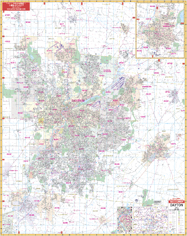
The Dayton, Ohio and adjacent areas Wall Map by Kappa Map Group measures 54" x 67". Offers up-to-date cartography with new streets and changes along with complete street detail at a scale of 1? = 2,833 feet. Printed in color with a markable and washable laminated surface.
Area of coverage ranges: North: to Tipp City and New Carlisle; South: to Waynesville, Corwin, and Harveysburg in Warren County; East: to Yellow Springs and Xenia; West: to Englewood, Trottwood and all of Carlisle in Warren County.
insets include Springfield.
The special features and data are as follows: Airports, All Streets Highways, Government Buildings, Cemeteries, Shopping Centers, Fire Police Stations, Hospitals, Water Features, Educational Institutions, Railroads, Recreational Parks, Golf Country Clubs, Post Offices, Libraries, Zip Codes Boundaries, Points of Interest, Color Coded City Village Limits, Section/Township/ Range Lines, Township Names Boundaries. In addition, for your convenience, the map is indexed in a separate book.
Framing rails are included on top and bottom for easy wall mounting. Railed wall maps can be turned into pull down maps on spring rollers for an additional $30.
Year: 2014
Edition: 1st
These maps are printed and finished to order. Please allow 4-6 weeks for delivery.