Menu


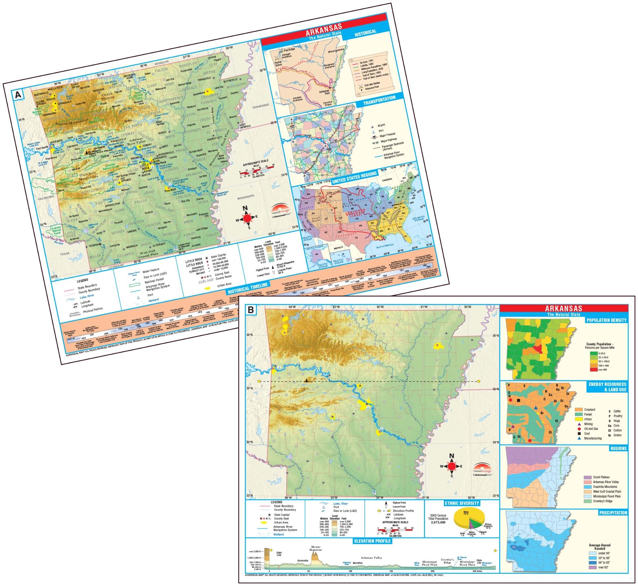
The two-sided, washable-finish Thematic Deskpad Map Set is the perfect tools for students of all ages. Measuring 17" x 11", these maps correspond with the Intermediate Thematic Wall Maps.
Side A contains a detailed state map complete with both political boundaries and physical relief. Features cities, capitals, counties, bordering states, and waterways. Also includes longitude and latitude, elevation profile, satellite locator map, places of interest, and historic map.
Side B is a duplicate of Side A, without labels. Perfect for classroom assignments and testing purposes. Also includes: ethnic diversity pie chart, historical timeline and thematic inset maps of: population per square mile; state regions, political and transportation, average annual precipitation, and land use.
This product is ideal for public, private, parochial, and home schools.
The Deskpad Maps are available in two different pack sizes:
