bell
user
minus
plus
bars
file-lines
cart-shopping
magnifying-glass
magnifying-glass-plus
bag-shopping
arrow-left
arrow-right
angle-down
globe
angle-right
calendar
star
star-half
check
sliders
caret-down
arrow-square
x
exclamation
box
pen
box-open
store
location-dot
trash
circle-play
cube
play
tag
lock
twitter
facebook
pinterest
instagram
snapchat
youtube
vimeo
shopify
tumblr
tiktok
star-empty
Subscribe to our emails
Be the first to know about new collections and exclusive offers.
Home
Products
Contact Us
About us
Shop
Menu
Products
Globes
Raised Relief Maps
Geochron
Nautical
Wall Maps
Shop
Globes
Floor Globes
Desk Globes
Children's Globes
Inflatable Globes
Raised Relief Maps
World Raised Relief Maps
International Raised Relief Maps
United States Raised Relief Maps
US States Raised Relief Maps
USGS Regional Raised Relief Maps
National Park Raised Relief Maps
Specialty Raised Relief Maps
Geochron
Nautical
NOAA Nautical Charts
Canadian Nautical Charts
Wall Maps
World & Foreign
United States
US Regions
US States
City and County
Classroom
Home and Office Decor
Satellite and Space Image Posters
Classroom Maps
Advanced (Grades 6-12)
Essential (Grades 4-8)
Primary (Grades K-3)
Beginner (Grades PreK-1)
History
Shaded Relief
State Thematic
Raised Relief Maps
World Raised Relief Maps
International Raised Relief Maps
United States Raised Relief Maps
US States Raised Relief Maps
USGS Regional Raised Relief Maps
National Park Raised Relief Maps
Specialty Raised Relief Maps
Satellite and Space image Poster
Products
Nautical
NOAA Nautical Charts
Canadian Nautical Charts
Logo
800-248-6277
United States (USD $)
Afghanistan (USD $)
Åland Islands (USD $)
Albania (USD $)
Algeria (USD $)
Andorra (USD $)
Angola (USD $)
Anguilla (USD $)
Antigua & Barbuda (USD $)
Argentina (USD $)
Armenia (USD $)
Aruba (USD $)
Ascension Island (USD $)
Australia (USD $)
Austria (USD $)
Azerbaijan (USD $)
Bahamas (USD $)
Bahrain (USD $)
Bangladesh (USD $)
Barbados (USD $)
Belarus (USD $)
Belgium (USD $)
Belize (USD $)
Benin (USD $)
Bermuda (USD $)
Bhutan (USD $)
Bolivia (USD $)
Bosnia & Herzegovina (USD $)
Botswana (USD $)
Brazil (USD $)
British Indian Ocean Territory (USD $)
British Virgin Islands (USD $)
Brunei (USD $)
Bulgaria (USD $)
Burkina Faso (USD $)
Burundi (USD $)
Cambodia (USD $)
Cameroon (USD $)
Canada (USD $)
Cape Verde (USD $)
Caribbean Netherlands (USD $)
Cayman Islands (USD $)
Central African Republic (USD $)
Chad (USD $)
Chile (USD $)
China (USD $)
Christmas Island (USD $)
Cocos (Keeling) Islands (USD $)
Colombia (USD $)
Comoros (USD $)
Congo - Brazzaville (USD $)
Congo - Kinshasa (USD $)
Cook Islands (USD $)
Costa Rica (USD $)
Côte d’Ivoire (USD $)
Croatia (USD $)
Curaçao (USD $)
Cyprus (USD $)
Czechia (USD $)
Denmark (USD $)
Djibouti (USD $)
Dominica (USD $)
Dominican Republic (USD $)
Ecuador (USD $)
Egypt (USD $)
El Salvador (USD $)
Equatorial Guinea (USD $)
Eritrea (USD $)
Estonia (USD $)
Eswatini (USD $)
Ethiopia (USD $)
Falkland Islands (USD $)
Faroe Islands (USD $)
Fiji (USD $)
Finland (USD $)
France (USD $)
French Guiana (USD $)
French Polynesia (USD $)
French Southern Territories (USD $)
Gabon (USD $)
Gambia (USD $)
Georgia (USD $)
Germany (USD $)
Ghana (USD $)
Gibraltar (USD $)
Greece (USD $)
Greenland (USD $)
Grenada (USD $)
Guadeloupe (USD $)
Guatemala (USD $)
Guernsey (USD $)
Guinea (USD $)
Guinea-Bissau (USD $)
Guyana (USD $)
Haiti (USD $)
Honduras (USD $)
Hong Kong SAR (USD $)
Hungary (USD $)
Iceland (USD $)
India (USD $)
Indonesia (USD $)
Iraq (USD $)
Ireland (USD $)
Isle of Man (USD $)
Israel (USD $)
Italy (USD $)
Jamaica (USD $)
Japan (USD $)
Jersey (USD $)
Jordan (USD $)
Kazakhstan (USD $)
Kenya (USD $)
Kiribati (USD $)
Kosovo (USD $)
Kuwait (USD $)
Kyrgyzstan (USD $)
Laos (USD $)
Latvia (USD $)
Lebanon (USD $)
Lesotho (USD $)
Liberia (USD $)
Libya (USD $)
Liechtenstein (USD $)
Lithuania (USD $)
Luxembourg (USD $)
Macao SAR (USD $)
Madagascar (USD $)
Malawi (USD $)
Malaysia (USD $)
Maldives (USD $)
Mali (USD $)
Malta (USD $)
Martinique (USD $)
Mauritania (USD $)
Mauritius (USD $)
Mayotte (USD $)
Mexico (USD $)
Moldova (USD $)
Monaco (USD $)
Mongolia (USD $)
Montenegro (USD $)
Montserrat (USD $)
Morocco (USD $)
Mozambique (USD $)
Myanmar (Burma) (USD $)
Namibia (USD $)
Nauru (USD $)
Nepal (USD $)
Netherlands (USD $)
New Caledonia (USD $)
New Zealand (USD $)
Nicaragua (USD $)
Niger (USD $)
Nigeria (USD $)
Niue (USD $)
Norfolk Island (USD $)
North Macedonia (USD $)
Norway (USD $)
Oman (USD $)
Pakistan (USD $)
Palestinian Territories (USD $)
Panama (USD $)
Papua New Guinea (USD $)
Paraguay (USD $)
Peru (USD $)
Philippines (USD $)
Pitcairn Islands (USD $)
Poland (USD $)
Portugal (USD $)
Qatar (USD $)
Réunion (USD $)
Romania (USD $)
Russia (USD $)
Rwanda (USD $)
Samoa (USD $)
San Marino (USD $)
São Tomé & Príncipe (USD $)
Saudi Arabia (USD $)
Senegal (USD $)
Serbia (USD $)
Seychelles (USD $)
Sierra Leone (USD $)
Singapore (USD $)
Sint Maarten (USD $)
Slovakia (USD $)
Slovenia (USD $)
Solomon Islands (USD $)
Somalia (USD $)
South Africa (USD $)
South Georgia & South Sandwich Islands (USD $)
South Korea (USD $)
South Sudan (USD $)
Spain (USD $)
Sri Lanka (USD $)
St. Barthélemy (USD $)
St. Helena (USD $)
St. Kitts & Nevis (USD $)
St. Lucia (USD $)
St. Martin (USD $)
St. Pierre & Miquelon (USD $)
St. Vincent & Grenadines (USD $)
Sudan (USD $)
Suriname (USD $)
Svalbard & Jan Mayen (USD $)
Sweden (USD $)
Switzerland (USD $)
Taiwan (USD $)
Tajikistan (USD $)
Tanzania (USD $)
Thailand (USD $)
Timor-Leste (USD $)
Togo (USD $)
Tokelau (USD $)
Tonga (USD $)
Trinidad & Tobago (USD $)
Tristan da Cunha (USD $)
Tunisia (USD $)
Türkiye (USD $)
Turkmenistan (USD $)
Turks & Caicos Islands (USD $)
Tuvalu (USD $)
U.S. Outlying Islands (USD $)
Uganda (USD $)
Ukraine (USD $)
United Arab Emirates (USD $)
United Kingdom (USD $)
Uruguay (USD $)
Uzbekistan (USD $)
Vanuatu (USD $)
Vatican City (USD $)
Venezuela (USD $)
Vietnam (USD $)
Wallis & Futuna (USD $)
Western Sahara (USD $)
Yemen (USD $)
Zambia (USD $)
Zimbabwe (USD $)
USD
United States (USD $)
Afghanistan (USD $)
Åland Islands (USD $)
Albania (USD $)
Algeria (USD $)
Andorra (USD $)
Angola (USD $)
Anguilla (USD $)
Antigua & Barbuda (USD $)
Argentina (USD $)
Armenia (USD $)
Aruba (USD $)
Ascension Island (USD $)
Australia (USD $)
Austria (USD $)
Azerbaijan (USD $)
Bahamas (USD $)
Bahrain (USD $)
Bangladesh (USD $)
Barbados (USD $)
Belarus (USD $)
Belgium (USD $)
Belize (USD $)
Benin (USD $)
Bermuda (USD $)
Bhutan (USD $)
Bolivia (USD $)
Bosnia & Herzegovina (USD $)
Botswana (USD $)
Brazil (USD $)
British Indian Ocean Territory (USD $)
British Virgin Islands (USD $)
Brunei (USD $)
Bulgaria (USD $)
Burkina Faso (USD $)
Burundi (USD $)
Cambodia (USD $)
Cameroon (USD $)
Canada (USD $)
Cape Verde (USD $)
Caribbean Netherlands (USD $)
Cayman Islands (USD $)
Central African Republic (USD $)
Chad (USD $)
Chile (USD $)
China (USD $)
Christmas Island (USD $)
Cocos (Keeling) Islands (USD $)
Colombia (USD $)
Comoros (USD $)
Congo - Brazzaville (USD $)
Congo - Kinshasa (USD $)
Cook Islands (USD $)
Costa Rica (USD $)
Côte d’Ivoire (USD $)
Croatia (USD $)
Curaçao (USD $)
Cyprus (USD $)
Czechia (USD $)
Denmark (USD $)
Djibouti (USD $)
Dominica (USD $)
Dominican Republic (USD $)
Ecuador (USD $)
Egypt (USD $)
El Salvador (USD $)
Equatorial Guinea (USD $)
Eritrea (USD $)
Estonia (USD $)
Eswatini (USD $)
Ethiopia (USD $)
Falkland Islands (USD $)
Faroe Islands (USD $)
Fiji (USD $)
Finland (USD $)
France (USD $)
French Guiana (USD $)
French Polynesia (USD $)
French Southern Territories (USD $)
Gabon (USD $)
Gambia (USD $)
Georgia (USD $)
Germany (USD $)
Ghana (USD $)
Gibraltar (USD $)
Greece (USD $)
Greenland (USD $)
Grenada (USD $)
Guadeloupe (USD $)
Guatemala (USD $)
Guernsey (USD $)
Guinea (USD $)
Guinea-Bissau (USD $)
Guyana (USD $)
Haiti (USD $)
Honduras (USD $)
Hong Kong SAR (USD $)
Hungary (USD $)
Iceland (USD $)
India (USD $)
Indonesia (USD $)
Iraq (USD $)
Ireland (USD $)
Isle of Man (USD $)
Israel (USD $)
Italy (USD $)
Jamaica (USD $)
Japan (USD $)
Jersey (USD $)
Jordan (USD $)
Kazakhstan (USD $)
Kenya (USD $)
Kiribati (USD $)
Kosovo (USD $)
Kuwait (USD $)
Kyrgyzstan (USD $)
Laos (USD $)
Latvia (USD $)
Lebanon (USD $)
Lesotho (USD $)
Liberia (USD $)
Libya (USD $)
Liechtenstein (USD $)
Lithuania (USD $)
Luxembourg (USD $)
Macao SAR (USD $)
Madagascar (USD $)
Malawi (USD $)
Malaysia (USD $)
Maldives (USD $)
Mali (USD $)
Malta (USD $)
Martinique (USD $)
Mauritania (USD $)
Mauritius (USD $)
Mayotte (USD $)
Mexico (USD $)
Moldova (USD $)
Monaco (USD $)
Mongolia (USD $)
Montenegro (USD $)
Montserrat (USD $)
Morocco (USD $)
Mozambique (USD $)
Myanmar (Burma) (USD $)
Namibia (USD $)
Nauru (USD $)
Nepal (USD $)
Netherlands (USD $)
New Caledonia (USD $)
New Zealand (USD $)
Nicaragua (USD $)
Niger (USD $)
Nigeria (USD $)
Niue (USD $)
Norfolk Island (USD $)
North Macedonia (USD $)
Norway (USD $)
Oman (USD $)
Pakistan (USD $)
Palestinian Territories (USD $)
Panama (USD $)
Papua New Guinea (USD $)
Paraguay (USD $)
Peru (USD $)
Philippines (USD $)
Pitcairn Islands (USD $)
Poland (USD $)
Portugal (USD $)
Qatar (USD $)
Réunion (USD $)
Romania (USD $)
Russia (USD $)
Rwanda (USD $)
Samoa (USD $)
San Marino (USD $)
São Tomé & Príncipe (USD $)
Saudi Arabia (USD $)
Senegal (USD $)
Serbia (USD $)
Seychelles (USD $)
Sierra Leone (USD $)
Singapore (USD $)
Sint Maarten (USD $)
Slovakia (USD $)
Slovenia (USD $)
Solomon Islands (USD $)
Somalia (USD $)
South Africa (USD $)
South Georgia & South Sandwich Islands (USD $)
South Korea (USD $)
South Sudan (USD $)
Spain (USD $)
Sri Lanka (USD $)
St. Barthélemy (USD $)
St. Helena (USD $)
St. Kitts & Nevis (USD $)
St. Lucia (USD $)
St. Martin (USD $)
St. Pierre & Miquelon (USD $)
St. Vincent & Grenadines (USD $)
Sudan (USD $)
Suriname (USD $)
Svalbard & Jan Mayen (USD $)
Sweden (USD $)
Switzerland (USD $)
Taiwan (USD $)
Tajikistan (USD $)
Tanzania (USD $)
Thailand (USD $)
Timor-Leste (USD $)
Togo (USD $)
Tokelau (USD $)
Tonga (USD $)
Trinidad & Tobago (USD $)
Tristan da Cunha (USD $)
Tunisia (USD $)
Türkiye (USD $)
Turkmenistan (USD $)
Turks & Caicos Islands (USD $)
Tuvalu (USD $)
U.S. Outlying Islands (USD $)
Uganda (USD $)
Ukraine (USD $)
United Arab Emirates (USD $)
United Kingdom (USD $)
Uruguay (USD $)
Uzbekistan (USD $)
Vanuatu (USD $)
Vatican City (USD $)
Venezuela (USD $)
Vietnam (USD $)
Wallis & Futuna (USD $)
Western Sahara (USD $)
Yemen (USD $)
Zambia (USD $)
Zimbabwe (USD $)
Account
Sign in
Cart
0
$ 0.00
Home
Products
Globes
Raised Relief Maps
Geochron
Nautical
NOAA Nautical Charts
Canadian Nautical Charts
Wall Maps
Contact Us
About us
Shop
Globes
Floor Globes
Desk Globes
Children's Globes
Inflatable Globes
Raised Relief Maps
World Raised Relief Maps
International Raised Relief Maps
United States Raised Relief Maps
US States Raised Relief Maps
USGS Regional Raised Relief Maps
National Park Raised Relief Maps
Specialty Raised Relief Maps
Geochron
Nautical
NOAA Nautical Charts
Canadian Nautical Charts
Wall Maps
World & Foreign
United States
US Regions
US States
City and County
Classroom
Home and Office Decor
Satellite and Space Image Posters
Classroom Maps
Advanced (Grades 6-12)
Essential (Grades 4-8)
Primary (Grades K-3)
Beginner (Grades PreK-1)
History
Shaded Relief
State Thematic
Raised Relief Maps
World Raised Relief Maps
International Raised Relief Maps
United States Raised Relief Maps
US States Raised Relief Maps
USGS Regional Raised Relief Maps
National Park Raised Relief Maps
Specialty Raised Relief Maps
Satellite and Space image Poster
Home
GeoMart Blog - From Parchment to Pixels: The Evolution of Maps, Globes & Geography
GeoMart Blog - From Parchment to Pixels: The Evolution of Maps, Globes & Geography
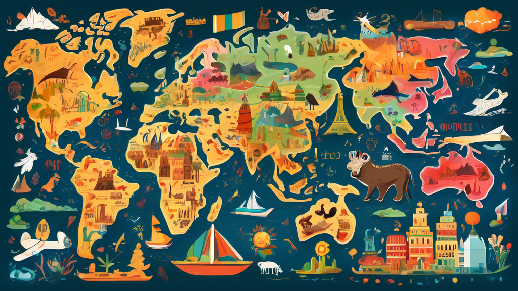
Explore the World: An Educational Journey with Our World Map
Education
May 17, 2024
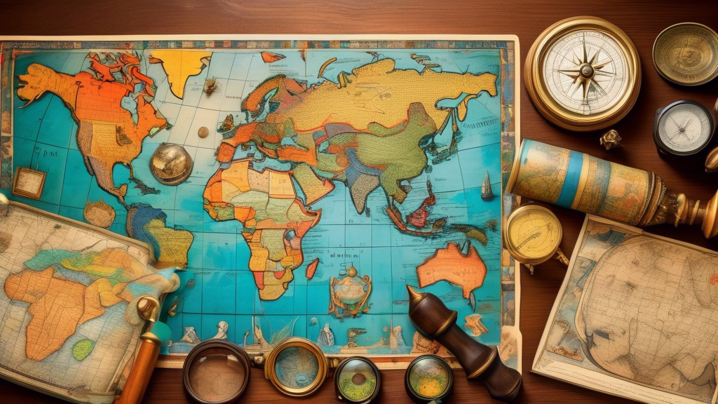
Explore the World: An Educational Journey with Our World Map
Introduction Embark on an exciting educational journey with GeoMart.com's Interactive World Map! Our meticulously designed...
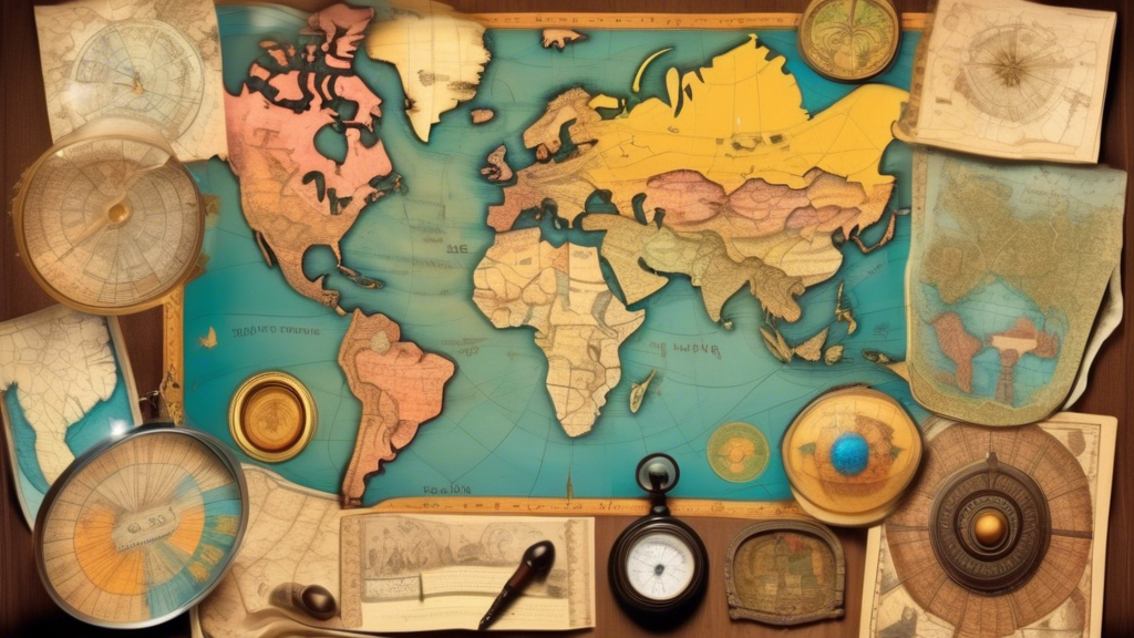
Educational Maps: Engaging Students Through Cartography
Education
May 16, 2024
Educational Maps: Engaging Students Through Cartography
Introduction: Unlocking the Power of Educational Maps for Student Learning In today's interconnected world, understanding...
Crafting a Comprehensive STEM Curriculum Map
Education
May 15, 2024
Crafting a Comprehensive STEM Curriculum Map
Introduction Educational maps are powerful tools that help students explore the world and develop a...
Interactive Maps: Engaging Students Through Digital Exploration
Education
May 14, 2024
Interactive Maps: Engaging Students Through Digital Exploration
Introduction Educational maps are powerful tools that help students explore the world and develop a...
Educational Maps: Exploring the World Through Cartography
education
May 11, 2024
Educational Maps: Exploring the World Through Cartography
Introduction Educational maps are powerful tools that help students explore the world and develop a...
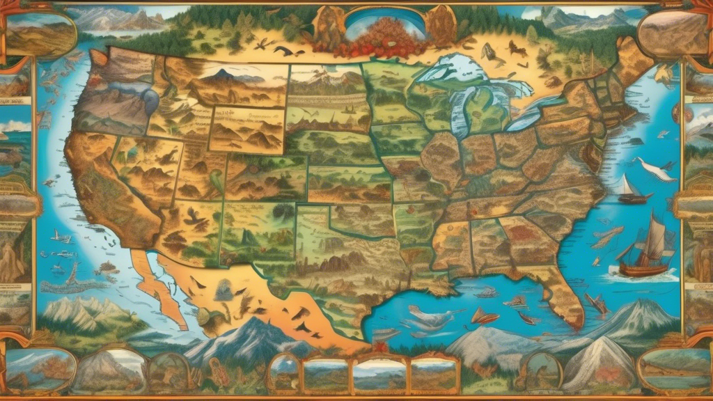
Exploring the Vast Landscapes of the Southwest United States
test tag 1
May 3, 2024
Exploring the Vast Landscapes of the Southwest United States
Here is a detailed article exploring the vast landscapes of the Southwest United States: Exploring...
Navigating the Southeastern States: A Comprehensive Map Guide
test tag 1
May 3, 2024
Navigating the Southeastern States: A Comprehensive Map Guide
Here is a detailed article about navigating the Southeastern states with a comprehensive map guide:...
Exploring the Vast Northwest: A Cartographic Journey
test tag 1
May 2, 2024
Exploring the Vast Northwest: A Cartographic Journey
Here is a detailed article about exploring the vast Northwest through maps: Exploring the Vast...
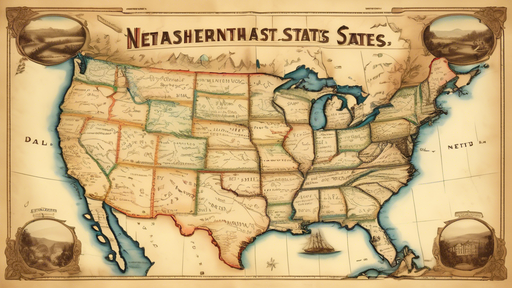
Navigating the Northeast: A Comprehensive Map Guide
test tag 1
May 2, 2024
Navigating the Northeast: A Comprehensive Map Guide
Navigating the Northeast: A Comprehensive Map Guide The Northeast region of the United States, comprising...
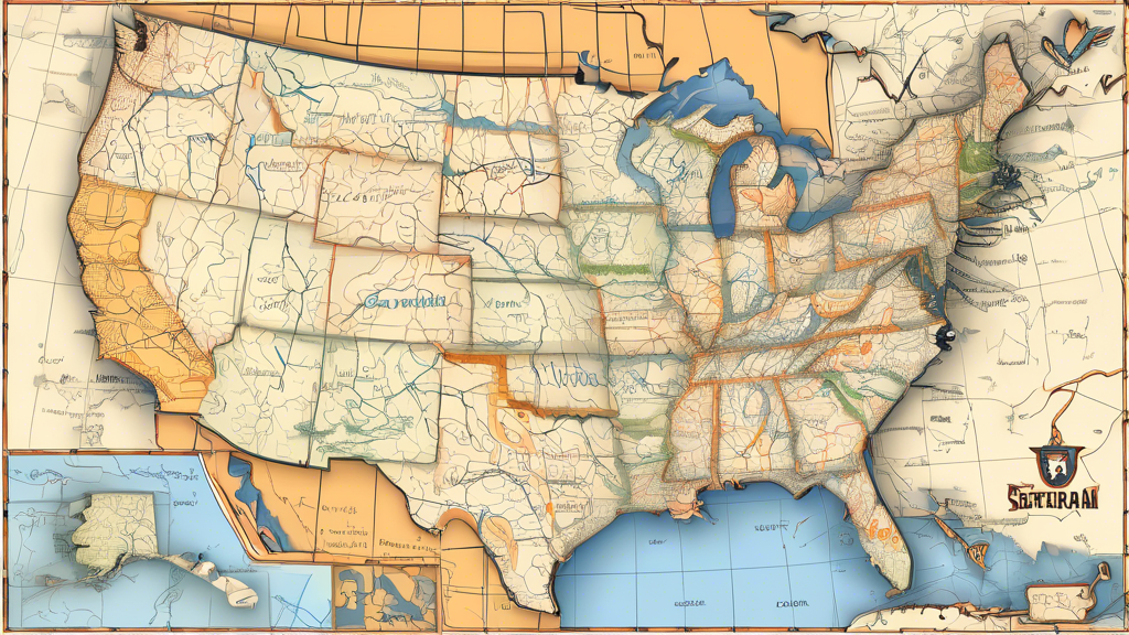
Exploring the Vast Terrain: A Cartographic Journey Across the United States
test tag 1
May 2, 2024
Exploring the Vast Terrain: A Cartographic Journey Across the United States
Here is a detailed article about exploring the vast terrain across the United States through...
Exploring the Scenic Wonders of West Virginia
test tag 1
May 2, 2024
Exploring the Scenic Wonders of West Virginia
Here is a detailed article about exploring the scenic wonders of West Virginia: Exploring the...
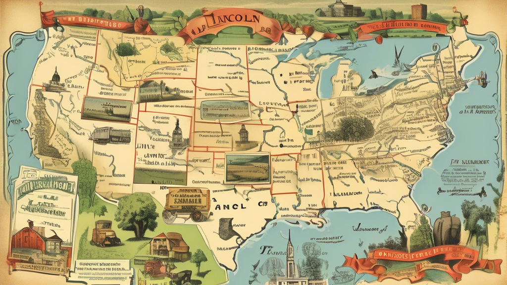
Exploring the Land of Lincoln: A Comprehensive Map of Illinois
test tag 1
May 2, 2024
Exploring the Land of Lincoln: A Comprehensive Map of Illinois
Exploring the Land of Lincoln: A Comprehensive Map of Illinois Illinois, the Prairie State, is...
1
2
3
…
6
Choosing a selection results in a full page refresh.
✕
Added to cart
Check out
Go to Cart
Customers Also Bought